
Downtown in Dayton in Montgomery County, Ohio — The American Midwest (Great Lakes)
Towpaths
| — | Patterson Boulevard Canal Parkway | — |
Photographed by Craig Doda, July 5, 2025
1. Towpaths Marker
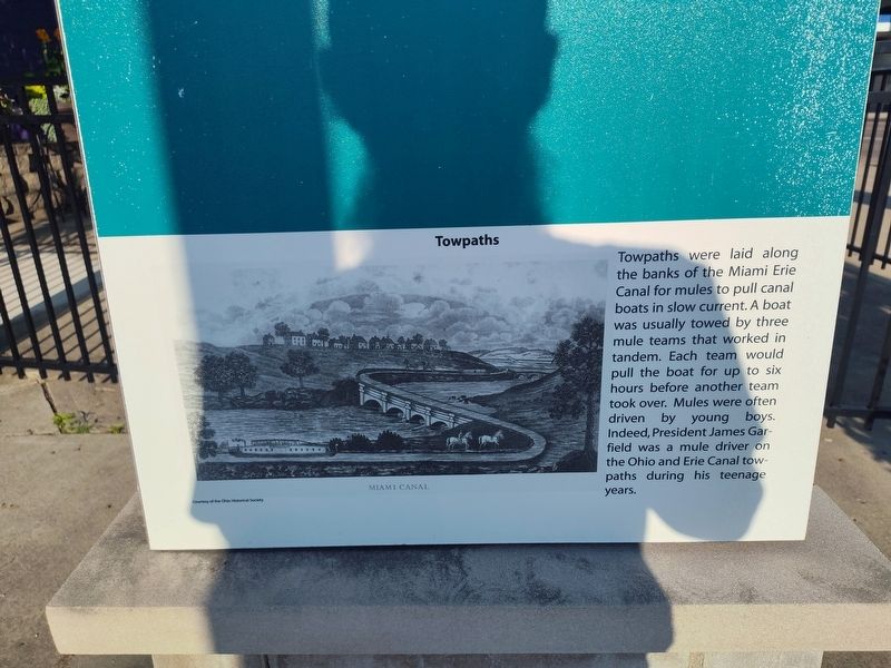
Towpaths were laid along the banks of the Miami Erie Canal for mules to pull canal boats in slow current. A boat was usually towed by three mule teams that worked in tandem. Each team would pull the boat for up to six hours before another team took over. Mules were often driven by young boys. Indeed, President James Garfield was a mule driver on the Ohio and Erie Canal towpaths during his teenage years.
Topics. This historical marker is listed in these topic lists: Animals • Waterways & Vessels.
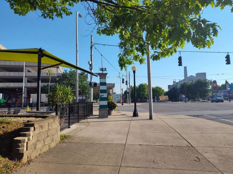
Location. 39° 45.426′ N, 84° 11.27′ W. Marker is in Dayton, Ohio, in Montgomery County. It is in Downtown. It is at the intersection of South Patterson Boulevard and East 5th Street, on the right when traveling south on South Patterson Boulevard. Touch for map. Marker is at or near this postal address: 130 E 5th St, Dayton OH 45402, United States of America. Touch for directions.

Regionally, this marker is in Ohio’s Miami Valley. It is also in the American Midwest and in the Corn Belt. Globally, it is in North America, the Western Hemisphere, the Western World,
this page online
Other nearby markers. At least 8 other markers are within walking distance of this marker: Dayton and the Canal: Timeline (here, next to this marker); The Canal, by the Numbers (here, next to this marker); Aqueducts (here, next to this marker); Constructing the Canal (here, next to this marker); Bridges (here, next to this marker); Anatomy of a Canal Lock (here, next to this marker); The Canal and the Railroad (here, next to this marker); The Oregon District (within shouting distance of this marker). Touch for a list and map of all markers in Dayton.
Photographed by Craig Doda, July 5, 2025
2. Towpaths Marker
Credits. This page was last revised on July 26, 2025. It was originally submitted on July 6, 2025, by Craig Doda of Napoleon, Ohio. This page has been viewed 72 times since then and 13 times this year. Photos: 1, 2. submitted on July 6, 2025, by Craig Doda of Napoleon, Ohio. • Devry Becker Jones was the editor who published this page.
