Crosby in Crow Wing County, Minnesota — The American Midwest (Upper Plains)
Portsmouth Mine
Photographed by McGhiever, June 27, 2025
1. Portsmouth Mine Marker
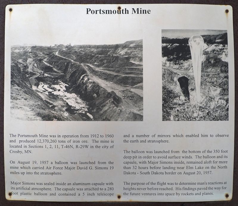
The Portsmouth Mine was in operation from 1912 to 1960 and produced 12,370,260 tons of iron ore. The mine is located in Sections 1, 2, 11, T-46N, R-29W in the city of Crosby, MN.
On August 19, 1957 a balloon was launched from the mine which carried Air Force Major David G. Simons 19 miles up into the stratosphere.
Major Simons was sealed inside an aluminum capsule with its artificial atmosphere. The capsule was attached to a 280 foot plastic balloon and contained a 5 inch telescope and a number of mirrors which enabled him to observe the earth and stratosphere.
The balloon was launched from the bottom of the 350 foot deep pit in order to avoid surface winds. The balloon and its capsule, with Major Simons inside, remained aloft for more than 32 hours before landing near Elm Lake on the North Dakota – South Dakota border on August 20, 1957.
The purpose of the flight was to determine man's reactions at heights never before reached. His findings paved the way for the future ventures into space by rockets and planes.
Topics. This historical marker is listed in these topic lists: Air & Space • Industry & Commerce
this page online
Location. 46° 29.421′ N, 93° 57.454′ W. Marker is in Crosby, Minnesota, in Crow Wing County. It is at the intersection of the Cuyuna Lake Trail and Minnesota Highway 6 on the Cuyuna Lake Trail. Though signposted as a geological marker on southbound Highway 6, there is no longer a pullout here. It is possible to park on the shoulder and walk down to the marker. A safer option is a nearby parking lot at 23196 Yawkey Road and a short walk on the Cuyuna Lake Trail. Touch for map. Marker is at or near this postal address: 23065 State Highway 6, Crosby MN 56441, United States of America. Touch for directions.

Regionally, this marker is in the Northland. It is also in the American Midwest, in the Corn Belt, and in the Great River Road Region. Globally, it is in North America, the Great North Woods, the Western Hemisphere, the Western World, and the Anglosphere. Historically, it finds itself in what was once Rupert’s Land, the territory of the Mississippian Culture, and the Northwest Territory.
Other nearby markers. At least 8 other markers are within walking
Photographed by McGhiever, June 27, 2025
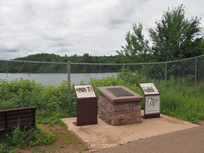
2. Portsmouth Mine Marker (left) at the Portsmouth Lake Overlook
Also see . . . Project Manhigh II. (Submitted on July 6, 2025, by McGhiever of Minneapolis, Minnesota.)
Credits. This page was last revised on July 6, 2025. It was originally submitted on July 6, 2025, by McGhiever of Minneapolis, Minnesota. This page has been viewed 154 times since then and 40 times this year. Photos: 1. submitted on July 6, 2025, by McGhiever of Minneapolis, Minnesota. 2. submitted on June 30, 2025, by McGhiever of Minneapolis, Minnesota.
