Coalville in Summit County, Utah — The American Mountains (Southwest)
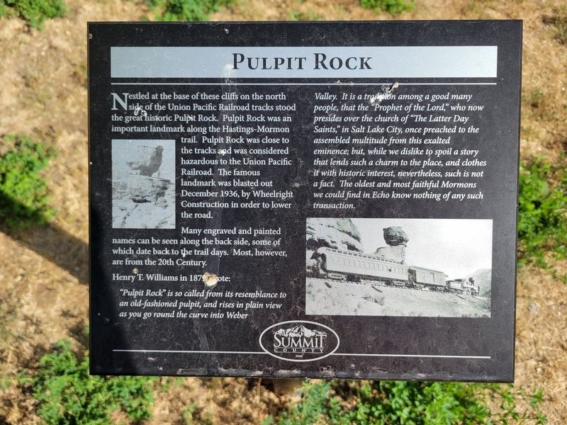
Pulpit Rock
Photographed by Jeremy Snow, June 20, 2025
1. Pulpit Rock Marker
Many engraved and painted names can be seen along the back side, some of which date back to the trail days. Most, however, are from the 20th Century.
Henry T. Williams in 1879 wrote:
"Pulpit Rock" is so called from its resemblance to an old-fashioned pulpit, and rises in plain view as you go round the curve into Weber Valley. It is a tradion among a good many people, that the "Prophet of the Lord," who now presides over the church of "The Latter Day Saints," in Salt Lake City, once preached to the assembled multitude from this exalted eminence; but, while we dislike to spoil a story that lends such a charm to the place, and clothes it with historic interest, nevertheless, such is not a fact. The oldest and most faithful Mormons we could find in Echo know nothing of any such transaction.
Erected by Summit
this page online
Topics. This historical marker is listed in this topic list: Natural Features. A significant historical year for this entry is 1879.
Location. 40° 58.514′ N, 111° 26.526′ W. Marker is in Coalville, Utah, in Summit County. It is on South Echo Road, on the right when traveling north. Touch for map. Marker is at or near this postal address: 3595 S Echo Road, Echo UT 84024, United States of America. Touch for directions.

Regionally, this marker is in the Uinta Mountains, in the Wasatch Front, and in Greater Provo. It is also in the American Mountain West and on the Colorado Plateau. Globally, it is in North America, the Rocky Mountains, the Western Hemisphere, the Western World, and the Anglosphere. Historically, it finds itself in what was once New Spain and also Mexico’s Alta California.
Other nearby markers. At least 8 other markers are within 2 miles of this marker, measured as the crow flies: Iron Rails and Silver Dreams (here, next to this marker); Control of Influence (a few steps from this marker); Echo School and Church (approx. ¼ mile away); Echo Church and School (approx. ¼ mile away); The Battle of the Signs
Photographed by Jeremy Snow, June 20, 2025
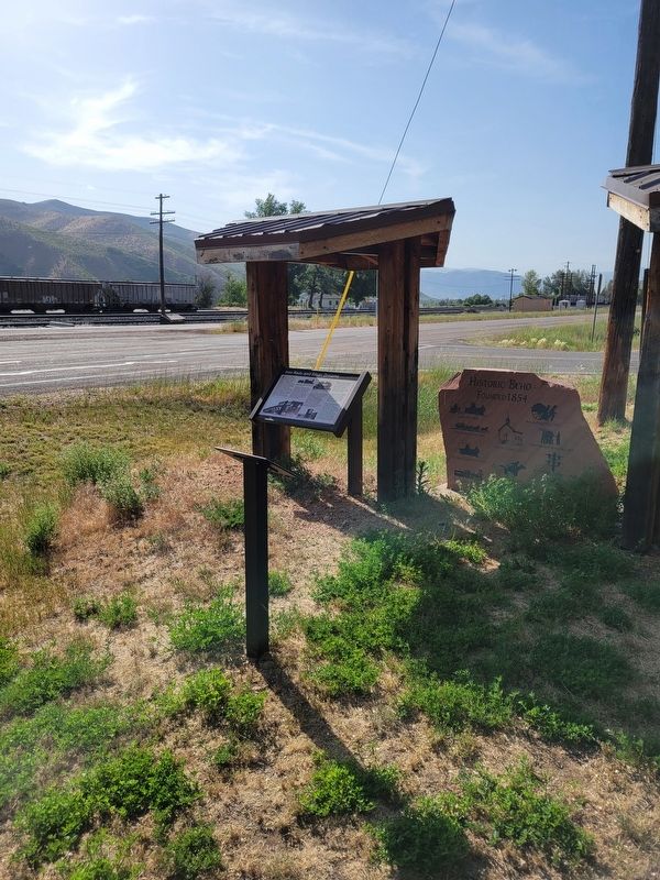
2. Pulpit Rock Marker
Marker on post in the foreground.
Photographed by De Wit Brothers, Ogden, Utah, circa 1910
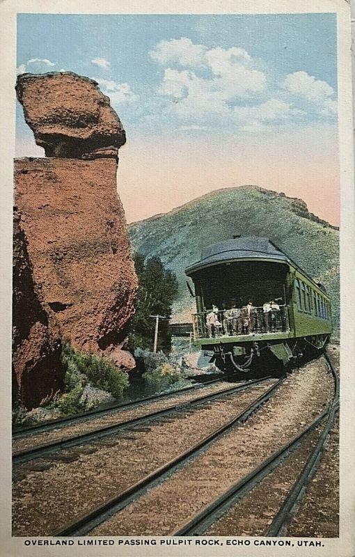
3. Overland Limited passing Pulpit Rock
Credits. This page was last revised on July 6, 2025. It was originally submitted on July 6, 2025, by Jeremy Snow of Cedar City, Utah. This page has been viewed 466 times since then and 85 times this year. Photos: 1, 2. submitted on July 6, 2025, by Jeremy Snow of Cedar City, Utah. 3. submitted on July 6, 2025. • Andrew Ruppenstein was the editor who published this page.
