Coalville in Summit County, Utah — The American Mountains (Southwest)
Witch Rocks
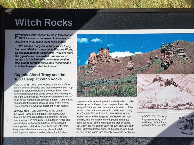
Photographed by Jeremy Snow, June 20, 2025
1. Witch Rocks Marker
"We passed many remarkable rocks today, but none I think so much so as Witches Bluffs, on the east bank of Weber river. They are more like gigantic and somewhat rude pieces of statuary in the form of women than anything else. Out of compliment to their resemblance to ladies I made a sketch of them."
Albert Tracy and the 1858 Camp at Witch Rocks
July 21, 1858-You have reached the mouth of the cañon and first by a rise and then a descent, you drop suddenly, upon the bank of the Weber River, which flows within a hundred yards of your front. Turning to the right, with the road, we pass on, with more tents of sage at our right and left (Weber Station)-and, having compassed the space of two or three miles, go into camp opposite to what we called the Witch Rocks.
July 22, 1858-Like unto those of the cañon, the Witch Rocks are of basalt. They jut upwards through the smooth surface of a rounded hill, and form a cluster, so singularly like figures in kirtles and steeple-hats, or bonnets
this page online
(caption) ABOVE: Witch Rocks as they appear today, and as Captain Albert Tracy sketched them in 1858.
Topics. This historical marker is listed in this topic list: Natural Features. A significant historical year for this entry is 1853.
Location. 40° 59.623′ N, 111° 27.477′ W. Marker is in Coalville, Utah, in Summit County. It is on South Echo Road, on the right when traveling north. Touch for map.
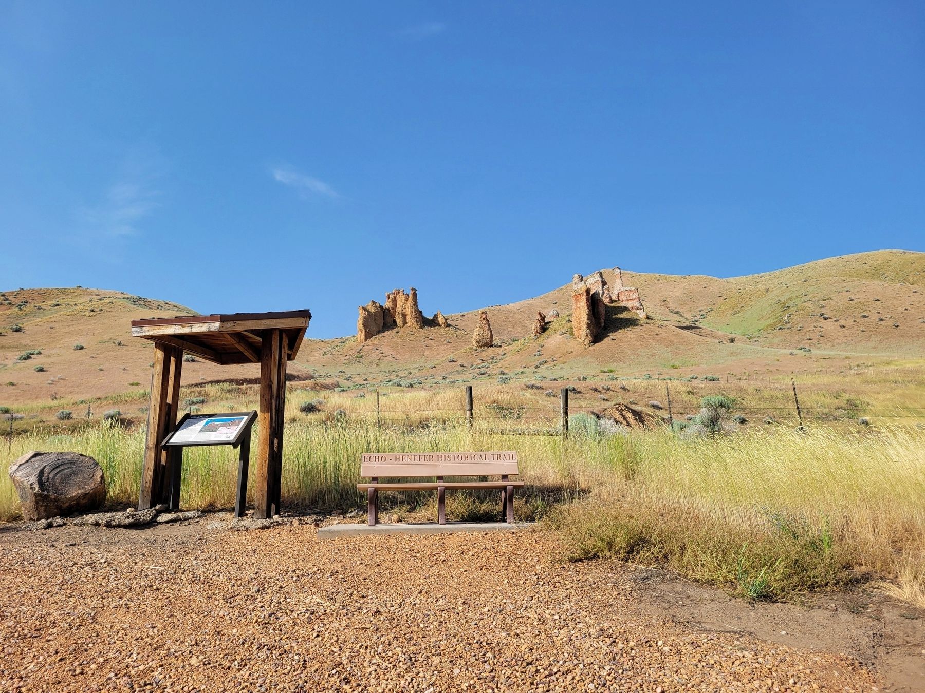
Photographed by Jeremy Snow, June 20, 2025
2. Witch Rocks Marker

Regionally, this marker is in Utah’s Uinta Mountains, in the Wasatch Front, and in Greater Provo. It is also in the American Mountain West and on the Colorado Plateau. Globally, it is in North America, the Rocky Mountains, the Western Hemisphere, the Western World, and the Anglosphere. Historically, it finds itself in what was once New Spain and also Mexico’s Alta California.
Other nearby markers. At least 8 other markers are within 2 miles of this marker, measured as the crow flies: Temple Camp and Supplication Hills (approx. ¾ mile away); Echo Church and School (approx. 1.4 miles away); Echo School and Church (approx. 1.4 miles away); Control of Influence (approx. 1½ miles away); Pulpit Rock (approx. 1½ miles away); Iron Rails and Silver Dreams (approx. 1½ miles away); The Battle of the Signs (approx. 1.8 miles away); Weber Pony Express Station (approx. 1.8 miles away). Touch for a list and map of all markers in Coalville.
Credits. This page was last revised on July 6, 2025. It was originally submitted on July 6, 2025, by Jeremy Snow of Cedar City, Utah. This page has been viewed 215 times since then and 29 times this year. Photos: 1, 2. submitted on July 6, 2025, by Jeremy Snow of Cedar City, Utah. • Andrew Ruppenstein was the editor who published this page.
