Henefer in Summit County, Utah — The American Mountains (Southwest)
Weber Canyon Explorers Trail
Photographed by Jeremy Snow, June 20, 2025
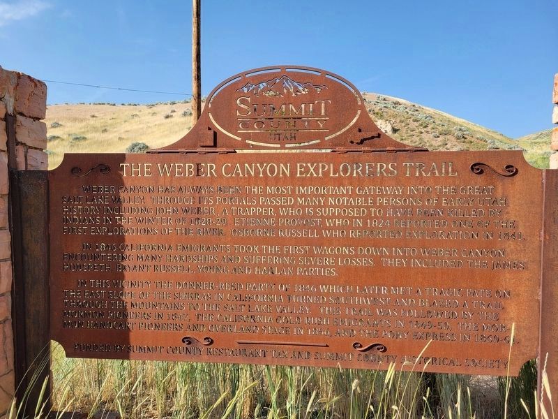
1. Weber Canyon Explorers Trail Marker
Weber Canyon has always been the most important gateway into the Great Salt Lake Valley. Through its portals passed many notable persons of early Utah history including John Weber, a trapper, who is supposed to have been killed by Indians in the winter of 1828-29. Etienne Provost, who in 1824 reported one of the first explorations of the river. Osborne Russell who reported exploration in 1841.
In 1846 California emigrants took the first wagons down into Weber Canyon encountering many hardships and suffering severe losses. They included the James Hudspeth, Bryant Russell, Young and Harlan parties.
In this vicinity the Donner-Reed party of 1846 which later met a tragic fate on the east slope of the Sierras in California turned southwest and blazed a trail through the mountains to the Salt Lake Valley. This trail was followed by the Mormon pioneers in 1847, the California gold rush emigrants in 1849-50, the Mormon handcart pioneers and overland stage in 1856, and the Pony Express in 1860-61.
Topics. This historical marker is listed in these topic lists: Exploration • Roads & Vehicles. A significant historical year for this entry is 1824.
Location. 41° 0.996′ N,
this page online

Regionally, this marker is in Utah’s Uinta Mountains, in the Wasatch Front, and in Greater Provo. It is also in the American Mountain West and on the Colorado Plateau. Globally, it is in North America, the Rocky Mountains, the Western Hemisphere, the Western World, and the Anglosphere. Historically, it finds itself in what was once New Spain and also Mexico’s Alta California.
Other nearby markers. At least 8 other markers are within walking distance of this marker: Deputy Sheriff Rodney Badger Gave His Life (approx. 0.4 miles away); Weber River Crossing and Campsite (approx. 0.4 miles away); Intersection of Old Pioneer Trail of 1847 and the Lincoln Highway (approx. 0.6 miles away); James and William Hennefer (approx. 0.6 miles away); Echo Gristmill (approx. 0.6 miles away); The Pioneer Camp (approx. 0.6 miles away); Native Americans

Photographed by Jeremy Snow, June 20, 2025
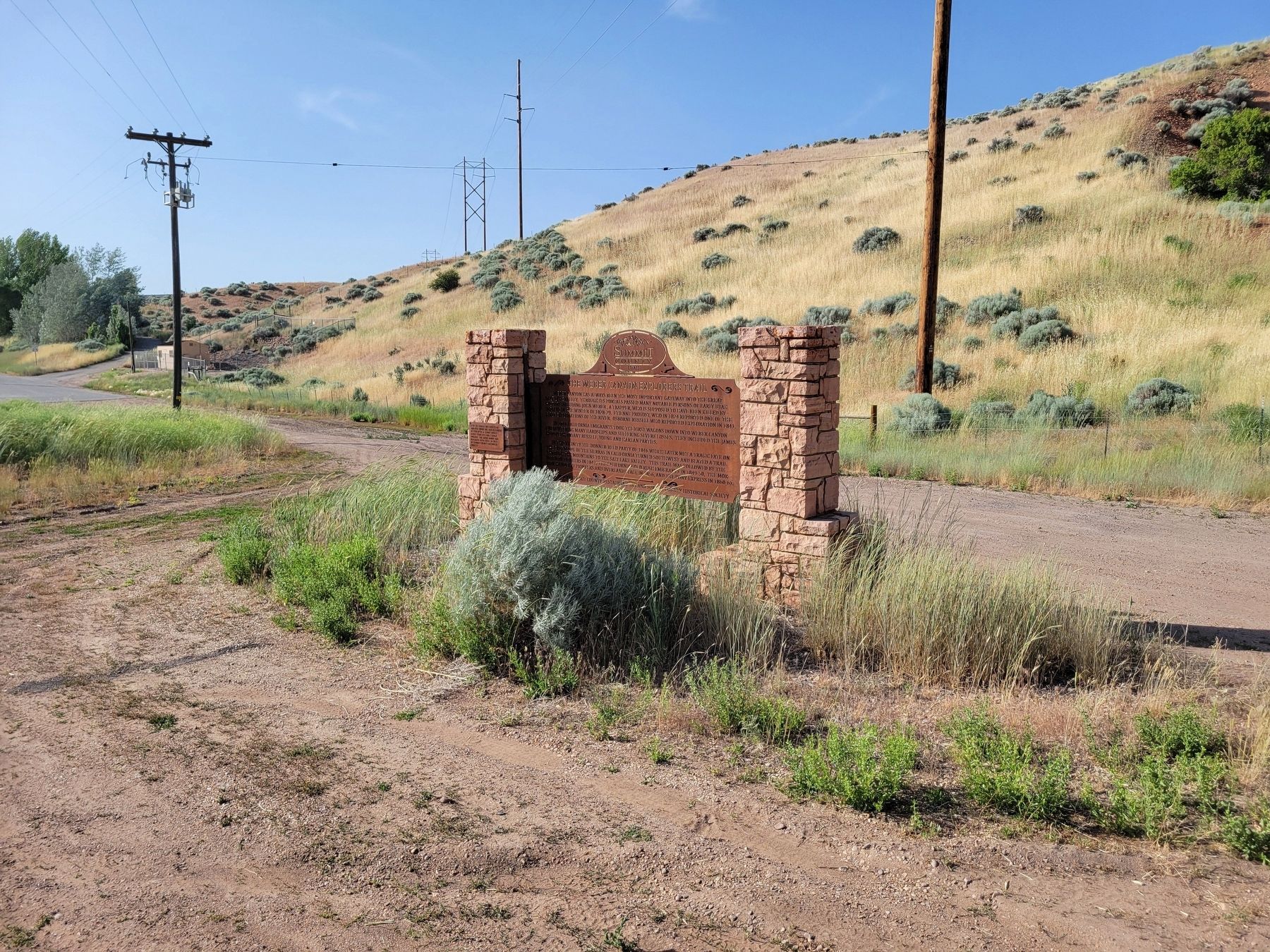
2. Weber Canyon Explorers Trail Marker
Photographed by Jeremy Snow, June 20, 2025
3. Weber Canyon Esplorers Trail Marker
Credits. This page was last revised on July 6, 2025. It was originally submitted on July 6, 2025, by Jeremy Snow of Cedar City, Utah. This page has been viewed 121 times since then and 18 times this year. Photos: 1, 2, 3. submitted on July 6, 2025, by Jeremy Snow of Cedar City, Utah. • Andrew Ruppenstein was the editor who published this page.
