Henefer in Summit County, Utah — The American Mountains (Southwest)
The Pioneer Camp
Photographed by Jeremy Snow, June 20, 2025
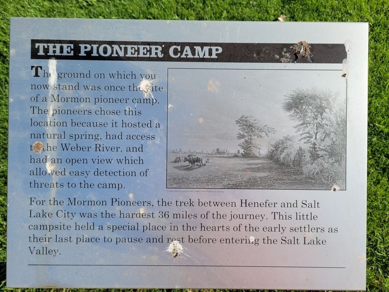
1. The Pioneer Camp Marker
For the Mormon Pioneers, the trek between Henefer and Salt Lake City was the hardest 36 miles of the journey. This little campsite held a special place in the hearts of the early settlers as their last place to pause and rest before entering the Salt Lake Valley.
Topics. This historical marker is listed in these topic lists: Roads & Vehicles • Settlements & Settlers.
Location. 41° 0.986′ N, 111° 29.861′ W. Marker is in Henefer, Utah, in Summit County. It is on North Main Street, on the right when traveling north. Touch for map. Marker is at or near this postal address: 67 N Main Street, Henefer UT 84033, United States of America. Touch for directions.

Regionally, this marker is in Utah’s Uinta Mountains, in the Wasatch Front, and in Greater Provo. It is also in the American Mountain West and on the Colorado
this page online
Other nearby markers. At least 8 other markers are within walking distance of this marker: Native Americans (here, next to this marker); Echo Gristmill (a few steps from this marker); Intersection of Old Pioneer Trail of 1847 and the Lincoln Highway (a few steps from this marker); James and William Hennefer (a few steps from this marker); Over a Century of Building (a few steps from this marker); "Mormon" Pioneer Trail (about 700 feet away, measured in a direct line); Weber Canyon Explorers Trail (approx. 0.6 miles away); Deputy Sheriff Rodney Badger Gave His Life (approx. 0.9 miles away). Touch for a list and map of all markers in Henefer.
Photographed by Jeremy Snow, June 20, 2025
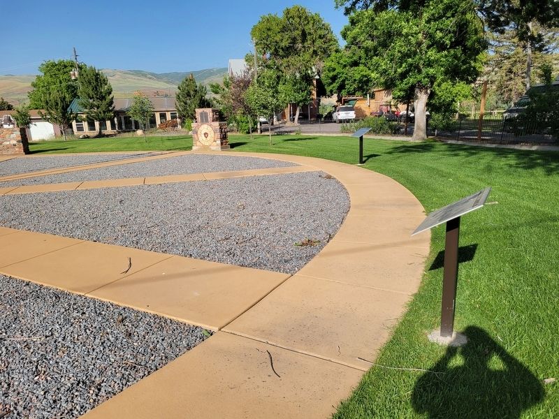
2. The Pioneer Camp Marker
First marker on the right.
Photographed by Jeremy Snow, June 20, 2025
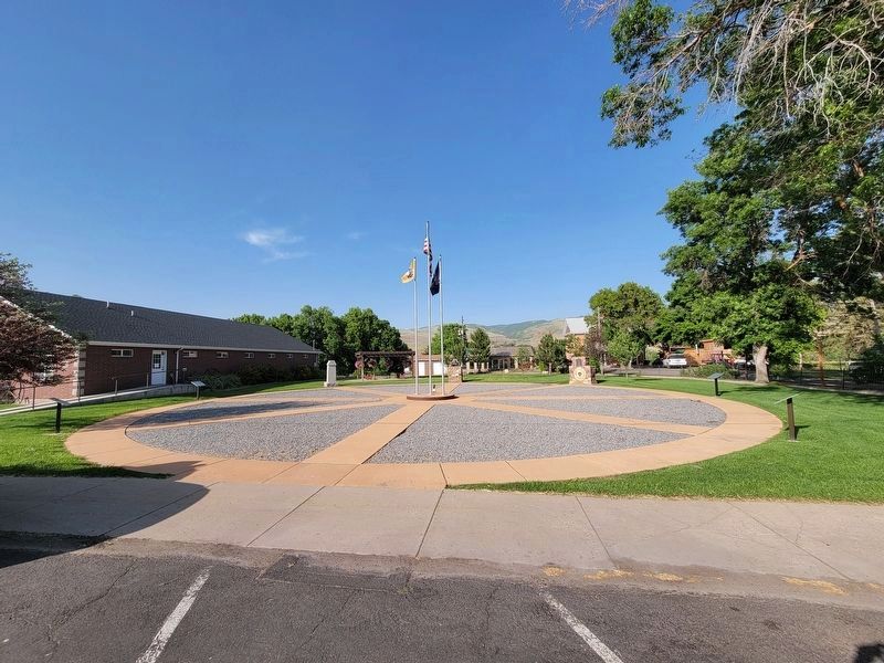
3. Hennefer Pioneer Park
Credits. This page was last revised on July 6, 2025. It was originally submitted on July 6, 2025, by Jeremy Snow of Cedar City, Utah. This page has been viewed 124 times since then and 23 times this year. Photos: 1, 2, 3. submitted on July 6, 2025, by Jeremy Snow of Cedar City, Utah. • Andrew Ruppenstein was the editor who published this page.
