Henefer in Summit County, Utah — The American Mountains (Southwest)
Native Americans
Photographed by Jeremy Snow, June 20, 2025
1. Native Americans Marker
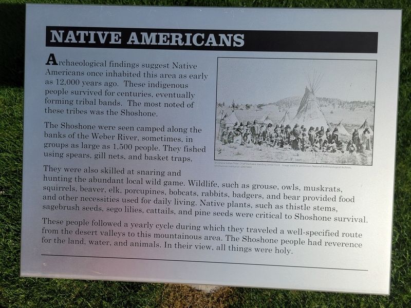
The Shoshone were seen camped along the banks of the Weber River, sometimes, in groups as large as 1,500 people. They fished using spears, gill nets, and basket traps.
They were also skilled at snaring and hunting the abundant local wild game. Wildlife, such as grouse, owls, muskrats, squirrels, beaver, elk, porcupines, bobcats, rabbits, badgers, and bear provided food and other necessities used for daily living. Native plants, such as thistle stems, sagebrush seeds, sego lilies, cattails, and pine seeds were critical to Shoshone survival.
These people followed a yearly cycle during which they traveled a well-specified route from the desert valleys to this mountainous area. The Shoshone people had reverence for the land, water, and animals. In their view, all things were holy.
Topics. This historical marker is listed in this topic list: Indigenous Peoples and Communities.
Location. 41° 0.986′ N,
this page online

Regionally, this marker is in Utah’s Uinta Mountains, in the Wasatch Front, and in Greater Provo. It is also in the American Mountain West and on the Colorado Plateau. Globally, it is in North America, the Rocky Mountains, the Western Hemisphere, the Western World, and the Anglosphere. Historically, it finds itself in what was once New Spain and also Mexico’s Alta California.
Other nearby markers. At least 8 other markers are within walking distance of this marker: The Pioneer Camp (here, next to this marker); Echo Gristmill (a few steps from this marker); Intersection of Old Pioneer Trail of 1847 and the Lincoln Highway (a few steps from this marker); James and William Hennefer (a few steps from this marker); Over a Century of Building (a few steps from this marker); "Mormon" Pioneer Trail (about 700 feet away, measured in a direct

Photographed by Jeremy Snow, June 20, 2025
2. Native Americans Marker
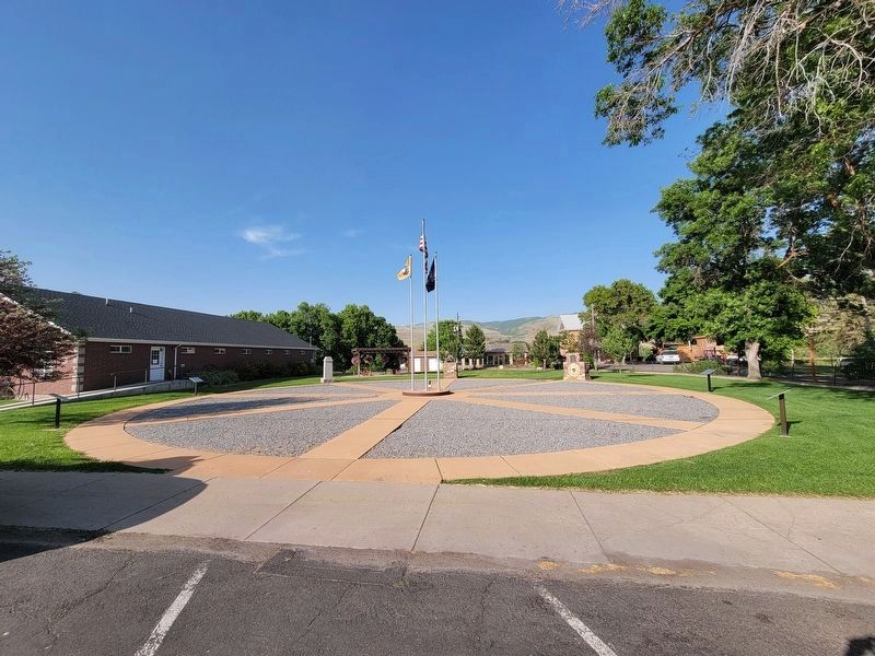
Marker on a post in the middle of the photo.
Photographed by Jeremy Snow, June 20, 2025
3. Hennefer Pioneer Park
Credits. This page was last revised on July 6, 2025. It was originally submitted on July 6, 2025, by Jeremy Snow of Cedar City, Utah. This page has been viewed 134 times since then and 23 times this year. Photos: 1, 2, 3. submitted on July 6, 2025, by Jeremy Snow of Cedar City, Utah. • Andrew Ruppenstein was the editor who published this page.
