Dayton in Hennepin County, Minnesota — The American Midwest (Upper Plains)
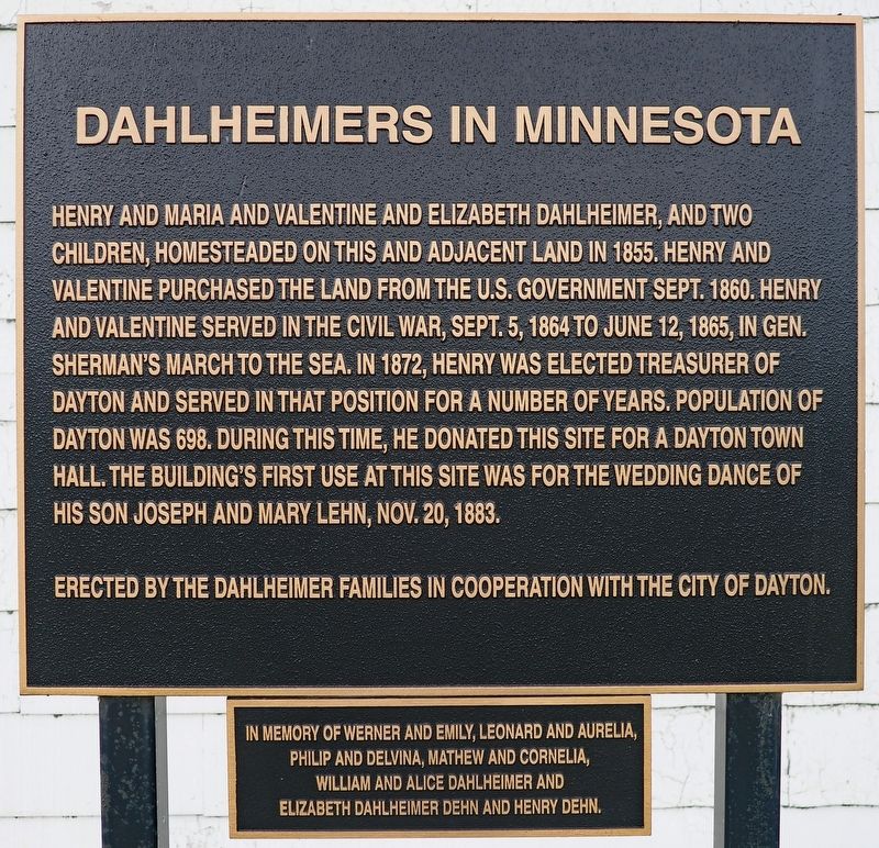
Dahlheimers in Minnesota
Photographed by McGhiever, June 19, 2025
1. Dahlheimers in Minnesota Marker
Henry and Maria and Valentine and Elizabeth Dahlheimer, and two children, homesteaded on this land and adjacent land in 1855. Henry and Valentine purchased the land from the U.S. government Sept. 1860. Henry and Valentine served in the Civil War, Sept. 5 1864 to June 12, 1865, in Gen. Sherman's march to the sea. In 1872, Henry was elected treasurer of Dayton and served in that position for a number of years. Population of Dayton was 698. During this time, he donated this site for a Dayton town hall. The building's first use at this site was for the wedding dance of his son Joseph and Mary Lehn, Nov. 20, 1883.
Erected by the Dahlheimer families in cooperation with the city of Dayton.
In memory of Werner and Emily, Leonard and Aurelia, Philip and Delvina, Mathew and Cornelia, William and Alice Dahlheimer and Elizabeth Dahlheimer Dehn and Henry Dehn.
Erected by Dahlheimer families, City of Dayton.
Topics. This historical marker is listed in these topic lists: Charity & Public Work • Settlements & Settlers • War, US Civil. A significant historical year for this entry is 1855.
Location. 45° 11.96′ N, 93° 29.284′ W.
this page online

Regionally, this marker is in the Twin Cities Metropolitan Area. It is also in the American Midwest, in the Corn Belt, and in the Great River Road Region. Globally, it is in North America, the Western Hemisphere, the Western World, and the Anglosphere. Historically, it finds itself in what was once Rupert’s Land, the territory of the Mississippian Culture, and the Louisiana Purchase.
Other nearby markers. At least 8 other markers are within 5 miles of this marker, measured as the crow flies: Metro Mississippi / Ramsey, a Mississippi River Trail Community (approx. 2½ miles away); Ice Age Souvenir (approx. 3.3 miles away); Itasca Village Townsite (approx. 3.3 miles away); Rice Street Beach (approx. 4.2 miles away); History of Oakwood Cemetery (approx. 4.4 miles away); Shaw-Hammons House
Photographed by McGhiever, June 19, 2025
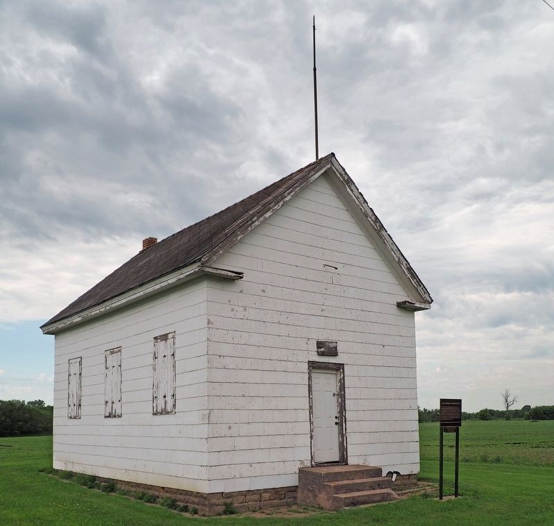
2. Dahlheimers in Minnesota Marker (right) and the old Dayton Town Hall
Credits. This page was last revised on July 6, 2025. It was originally submitted on July 6, 2025, by McGhiever of Minneapolis, Minnesota. This page has been viewed 254 times since then and 71 times this year. Photos: 1, 2. submitted on July 6, 2025, by McGhiever of Minneapolis, Minnesota.
