Haynes Township near Harrisville in Alcona County, Michigan — The American Midwest (Great Lakes)
Marine City
"Buried on Lake Huron", Sarnia Observer 1880
| — | Great Lakes Maritime Heritage Trail | — |
Photographed by Mark Parker, June 24, 2025
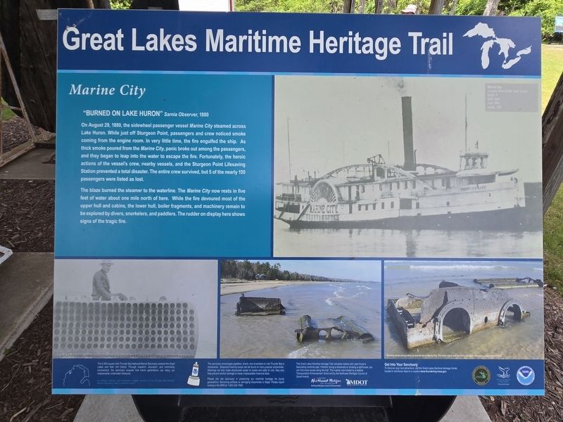
1. Marine City Marker
On August 29, 1880, the sidewheel passenger vessel Marine City steamed across Lake Huron. While just off Sturgeon Point, passengers and crew noticed smoke coming from the engine room. In very little time, the fire engulfed the ship. As thick smoke poured from the Marine City, panic broke out among the passengers, and they began to leap into the water to escape the fire. Fortunately, the heroic actions of the vessel's crew, nearby vessels, and the Sturgeon Point Lifesaving Station prevented a total disaster. The entire crew survived, but 5 of the nearly 150 passengers were listed as lost.
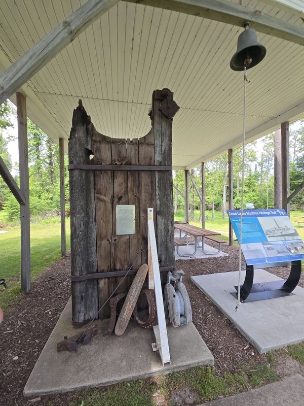
The blaze burned the steamer to the waterline. The Marine City now rests in five feet of water about one mile north of here. While the fire devoured most of the upper hull and cabins, the lower hull, boiler fragments, and machinery remain to be explored by divers, snorkelers, and paddlers. The rudder on display here shows signs of the tragic fire.
The 4,300-square-mile Thunder Bay National Marine Sanctuary protects the Great Lakes and their rich history. Through research, education, and community involvement, the sanctuary endures that future generations can enjoy our irreplaceable underwater treasures.
The sanctuary encourages paddlers, divers, and snorkelers to visit Thunder Bay's shipwrecks. Seasonal mooring buoys can be found on many popular shipwrecks. Moorings not only make shipwrecks easier to locate and safer to visit, they also help prevent anchor damage to these irreplaceable hislorical sites.
The Great Lakes Maritime Heritage Trail connects visitors with Lake Huron's fascinating maritime past. Whether, diving a shipwreck or climbing a lighthouse, you can find more storiess along the trail. This marker was funded by a federal Transportation Enhancement Grant and by the Northeast Michigan Council of Governments
Please join the sanctuary in preserving our maritime heritage for future generations. Removing artifacts or damaging shipwrecks is illegal. Please report looting to the DNR 1-800-292-7500.
All artwork, historic and underwater images courtesy of the Thunder Bay National Marine Sanctuary unless otherwise noted.
Topics and series.
this page online
Location. 44° 42.763′ N, 83° 16.376′ W. Marker is near Harrisville, Michigan, in Alcona County. It is in Haynes Township. It is on Point Road east of Spruce Trailways Road, on the left when traveling east. From the parking lot at the trailhead, follow the trail towards Sturgeon Point Lighthouse about 400 feet. The marker is under the shed next to the lighthouse. Touch for map. Marker is at or near this postal address: 6071 Point Rd, Harrisville MI 48740, United States of America. Touch for directions.

Regionally, this marker is in Northern Michigan Lower Peninsula and in one of the Lake Huron Shore counties. It is also in the American Midwest. Globally, it is in North America, in the Great North Woods, on the Great Lakes, in the Western Hemisphere, in the Western World, and in the Anglosphere. Historically, it finds itself in what was once the Northwest Territory.
Other nearby markers. At least 8 other markers are within walking
Photographed by Mark Parker, June 24, 2025
2. Marine City Marker next to the recovered rudder from the Marine City
Photographed by Mark Parker, June 24, 2025
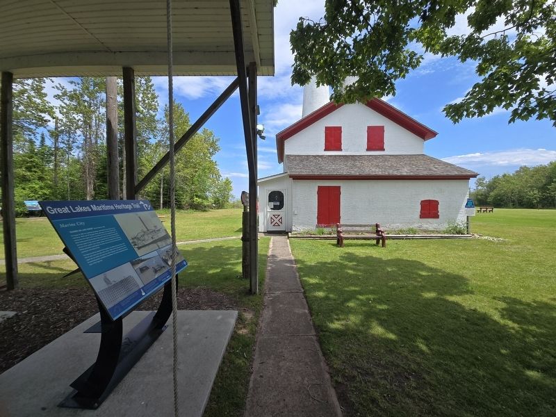
3. Marine City Marker next to the Sturgeon Point Lighthouse
Credits. This page was last revised on July 11, 2025. It was originally submitted on July 6, 2025, by Mark Parker of Hickory, North Carolina. This page has been viewed 156 times since then and 38 times this year. Photos: 1, 2, 3. submitted on July 6, 2025, by Mark Parker of Hickory, North Carolina. • J. Makali Bruton was the editor who published this page.
