
Haynes Township near Harrisville in Alcona County, Michigan — The American Midwest (Great Lakes)
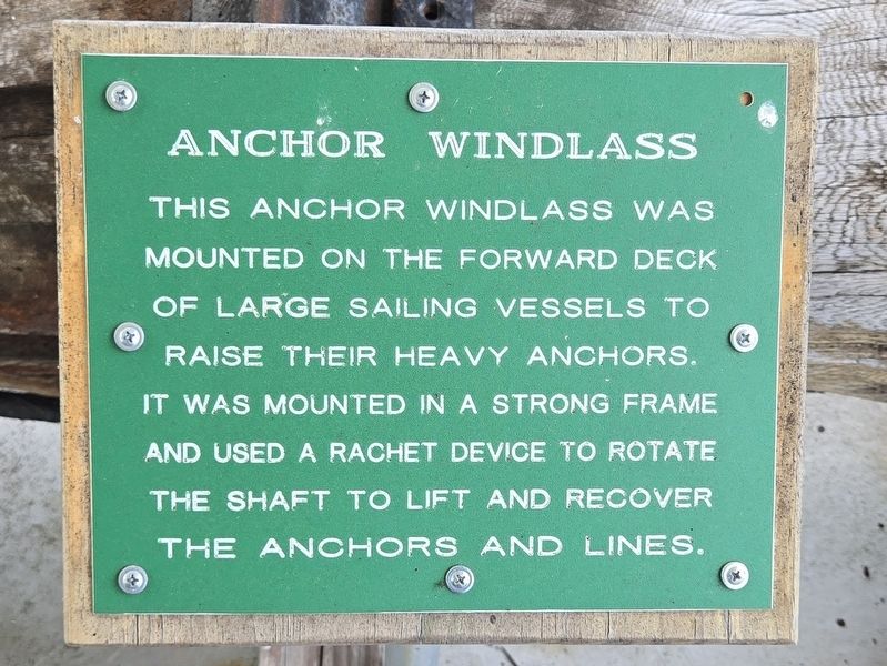
Anchor Windlass
Photographed by Mark Parker, June 24, 2025
1. Anchor Windlass Marker
Topics. This historical marker is listed in this topic list: Waterways & Vessels.
Location. 44° 42.764′ N, 83° 16.379′ W. Marker is near Harrisville, Michigan, in Alcona County. It is in Haynes Township. It is on Point Road east of Spruce Trailways Road, on the left when traveling east. From the parking lot at the trailhead, follow the trail towards Sturgeon Point Lighthouse about 400 feet. The marker is under the shed next to the lighthouse. Touch for map. Marker is at or near this postal address: 6071 Point Road, Harrisville MI 48740, United States of America. Touch for directions.

Regionally, this marker is in Northern Michigan Lower Peninsula and in one of the Lake Huron Shore counties. It is also in the American Midwest. Globally, it is in North America, in the Great North Woods, on the Great Lakes, in the Western Hemisphere, in the
this page online
Other nearby markers. At least 8 other markers are within walking distance of this marker: U.S. Coast Guard Watchtower Alarm Bell (here, next to this marker); Marine City (here, next to this marker); Rudder "Marine City" (here, next to this marker); Rudder ~ St. Tugboat "Loretta" (here, next to this marker); Rudder Unknown (here, next to this marker); Loretta (a few steps from this marker); Capstan / Ice Crusher (a few steps from this marker); Bernice D (within shouting distance of this marker). Touch for a list and map of all markers in Harrisville.
Photographed by Mark Parker, June 24, 2025
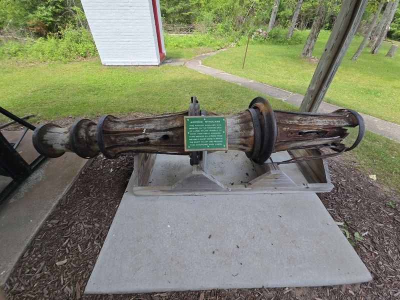
2. Anchor Windlass and Marker
Photographed by Mark Parker, June 24, 2025
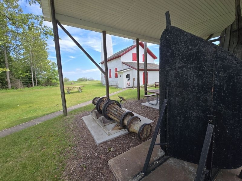
3. Anchor Windlass and Marker next to the Sturgeon Point Lighthouse
Credits. This page was last revised on July 9, 2025. It was originally submitted on July 6, 2025, by Mark Parker of Hickory, North Carolina. This page has been viewed 147 times since then and 50 times this year. Photos: 1, 2, 3. submitted on July 6, 2025, by Mark Parker of Hickory, North Carolina. • Andrew Ruppenstein was the editor who published this page.
