Haynes Township near Harrisville in Alcona County, Michigan — The American Midwest (Great Lakes)
Loretta
| — | Great Lakes Maritime Heritage Trail | — |
Photographed by Mark Parker, June 24, 2025
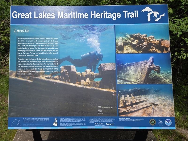
1. Loretta Marker
Today the wreck sits in seven feet of water. Divers, snorkelers, and paddlers can explore the tug's stern, which features the propeller shaft and broken machinery. The four-bladed cast-iron propeller is missing its blades. The wooden keelson is encased in iron to protect it during loading and unloading. Charred wood and dropped fasteners are evidence of the fire that sank the Loretta
(Footer)
The 4,300-square-mile Thunder Bay National Marine Sanctuary protects the Great Lakes and their rich history. Through research, education, and community involvement, the sanctuary endures that future generations can enjoy our irreplaceable underwater treasures.
The sanctuary encourages paddlers, divers, and snorkelers to visit Thunder Bay's shipwrecks. Seasonal mooring buoys can be found on many popular shipwrecks. Moorings not only make shipwrecks easier to locate and safer to visit, they also help prevent anchor damage to these irreplaceable hislorical sites.
The Great Lakes Maritime Heritage Trail connects visitors with Lake Huron's fascinating maritime past. Whether, diving a shipwreck or climbing a lighthouse, you can find more storiess along the trail. This marker was funded by a federal Transportation Enhancement Grant and by the Northeast Michigan Council of Governments
Please join the sanctuary in preserving our maritime heritage for future generations. Removing artifacts or damaging shipwrecks is illegal. Please report looting to the DNR 1-800-292-7500.
All artwork, historic and underwater images courtesy of the Thunder Bay National Marine Sanctuary unless otherwise noted.
Topics.
this page online
Location. 44° 42.77′ N, 83° 16.373′ W. Marker is near Harrisville, Michigan, in Alcona County. It is in Haynes Township. It can be reached from Point Road near Spruce Trailways Road, on the left when traveling east. From the parking lot at the trailhead, follow the trail towards Sturgeon Point Lighthouse about 400 feet. The marker is on the lake side of the lighthouse. Touch for map. Marker is at or near this postal address: 6071 Point Road, Harrisville MI 48740, United States of America. Touch for directions.

Regionally, this marker is in Northern Michigan Lower Peninsula and in one of the Lake Huron Shore counties. It is also in the American Midwest. Globally, it is in North America, in the Great North Woods, on the Great Lakes, in the Western Hemisphere, in the Western World, and in the Anglosphere. Historically, it finds itself in what was once the Northwest Territory.
Other nearby markers. At least 8 other markers are within walking distance of this marker: Capstan / Ice Crusher
Photographed by Mark Parker, June 24, 2025
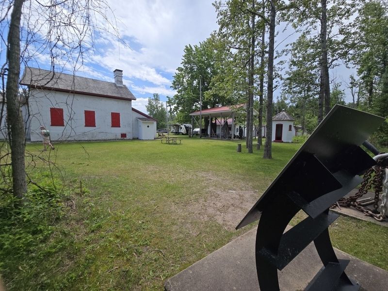
2. Rear side of the Loretta Marker near Sturgeon Point Lighthouse
Photographed by Mark Parker, June 24, 2025
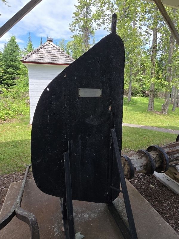
3. Rudder from the tugboat Loretta
Credits. This page was last revised on July 10, 2025. It was originally submitted on July 6, 2025, by Mark Parker of Hickory, North Carolina. This page has been viewed 165 times since then and 41 times this year. Photos: 1, 2, 3. submitted on July 6, 2025, by Mark Parker of Hickory, North Carolina. • Andrew Ruppenstein was the editor who published this page.
