Harrisville in Weber County, Utah — The American Mountains (Southwest)
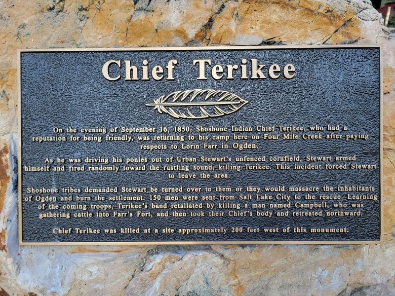
Chief Terikee
Photographed by Jeremy Snow, June 21, 2025
1. Chief Terikee Marker
As he was driving his ponies out of Urban Stewart's unfenced cornfield, Stewart armed himself and fired randomly toward the rustling sound, killing Terikee. This incident forced Stewart to leave the area.
Shoshone tribes demanded Stewart be turned over to them or they would massacre the inhabitants of Ogden and burn the settlement. 150 men were sent from Salt Lake City to the rescue. Learning of the coming troops, Terikee's band retaliated by killing a man named Campbell, who was gathering cattle into Farr's Fort, and then took their Chief's body and retreated northward.
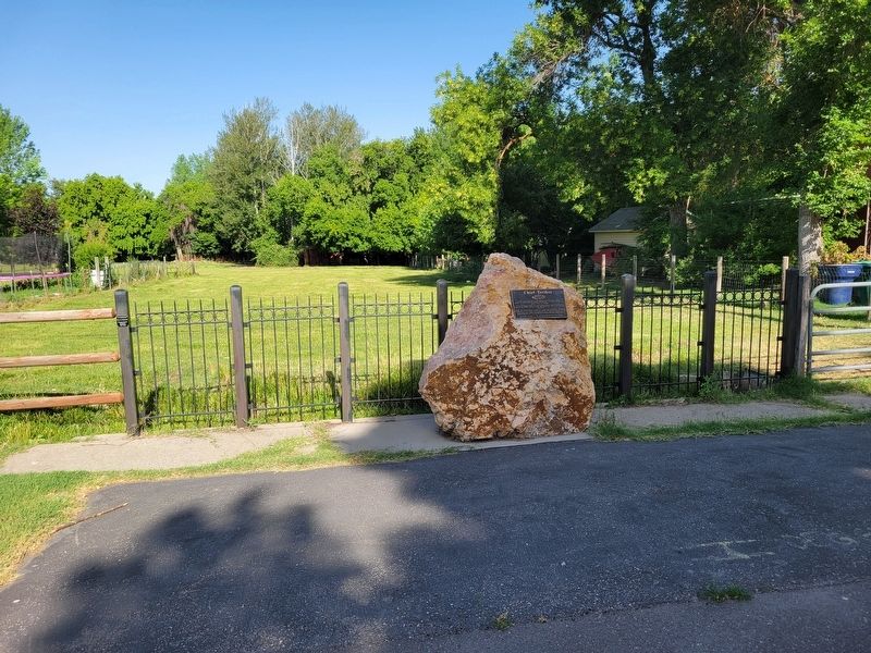
Chief Terikee was killed at a site approximately 200 feet west of this monument.
Topics. This historical marker is listed in this topic list: Indigenous Peoples and Communities. A significant historical date for this entry is September 16, 1850.
Location. 41° 16.816′ N, 111° 59.291′ W. Marker is in Harrisville, Utah, in Weber County. It is on North Harrisville
this page online

Regionally, this marker is in the Wasatch Front and in Greater Salt Lake. It is also in the American Mountain West and on the Colorado Plateau. Globally, it is in North America, the Rocky Mountains, the Western Hemisphere, the Western World, and the Anglosphere. Historically, it finds itself in what was once New Spain and also Mexico’s Alta California.
Other nearby markers. At least 8 other markers are within 3 miles of this marker, measured as the crow flies: Levi & Josephine Taylor House (about 700 feet away, measured in a direct line); Martin Henderson Harris (approx. 0.4 miles away); Defense Depot Ogden (approx. 1.4 miles away); Bingham's Fort (approx. 1½ miles away); Settlement of Lynne (approx. 1½ miles away); Oldest Neighborhood / Bingham Fort / History in Plain Sight (approx. 1½ miles away); Marriott-Slaterville City (approx. 1.8 miles away); J. Willard Marriott Birthplace (approx. 2.3 miles away).
Photographed by Jeremy Snow, June 21, 2025
2. Chief Terikee Marker
Credits. This page was last revised on July 6, 2025. It was originally submitted on July 6, 2025, by Jeremy Snow of Cedar City, Utah. This page has been viewed 123 times since then and 22 times this year. Photos: 1, 2. submitted on July 6, 2025, by Jeremy Snow of Cedar City, Utah. • Andrew Ruppenstein was the editor who published this page.
