Mackinac Island in Mackinac County, Michigan — The American Midwest (Great Lakes)
Mackinac Island
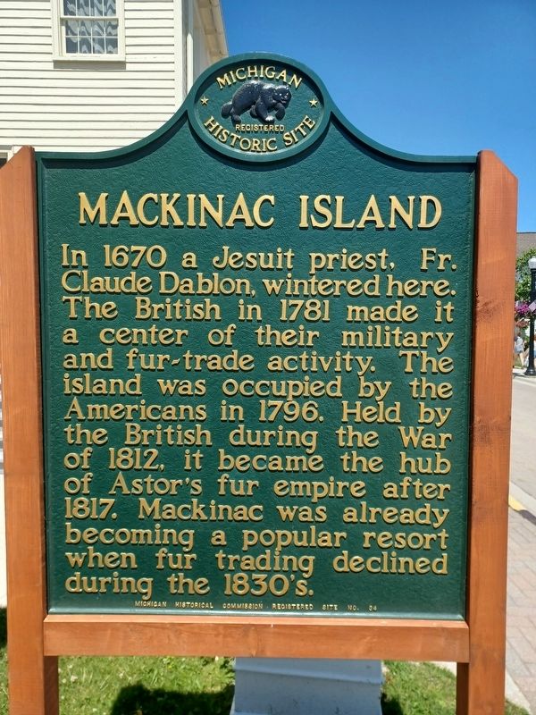
Photographed by Joel Seewald, July 1, 2025
1. Mackinac Island Marker
Erected 1956 by Michigan Historical Commission. (Marker Number 34.)
Topics and series. This historical marker is listed in these topic lists: Colonial Era • Industry & Commerce • War of 1812. In addition, it is included in the Michigan Historical Commission series list. A significant historical year for this entry is 1670.
Location. 45° 50.977′ N, 84° 37.129′ W. Marker is on Mackinac Island, Michigan, in Mackinac County. It is at the intersection of Market Street and Astor Street, on the right when traveling south on Market Street. Marker is in front of the City of Mackinac Island Community Hall & City Offices. Touch for map. Marker is at or near this postal address: 7358 Market Street, Mackinac Island MI 49757, United States of America.
this page online

Regionally, this marker is on the Upper Peninsula and on the Straits of Mackinac. It is also in the American Midwest. Globally, it is in North America, in the Great North Woods, on the Great Lakes, in the Western Hemisphere, in the Western World, and in the Anglosphere. Historically, it finds itself in what was once the Viceroyalty of New France and also the Northwest Territory.
Other nearby markers. At least 8 other markers are within walking distance of this marker: Market Street (here, next to this marker); Original Buildings of John Jacob Astor’s American Fur Company (a few steps from this marker); Pond's Defense (a few steps from this marker); War of 1812 Memorial (within shouting distance of this marker); Civil War Veterans Memorial (within shouting distance of this marker); Sgt. Charles Cadreau, U.S. Army (within shouting distance of this marker); Mackinac Island War Memorial (within shouting distance of this marker); Private First Class Milton T. St. Onge (within shouting distance of this marker). Touch for a list and map of all markers in Mackinac Island.
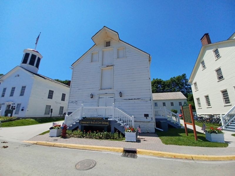
Photographed by Joel Seewald, July 1, 2025
2. Mackinac Island Marker
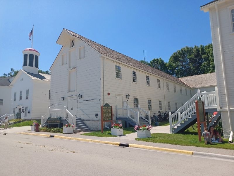
Photographed by Joel Seewald, July 1, 2025
3. Mackinac Island Marker
Credits. This page was last revised on July 8, 2025. It was originally submitted on July 8, 2025, by Joel Seewald of Madison Heights, Michigan. This page has been viewed 197 times since then and 39 times this year. Photos: 1, 2, 3. submitted on July 8, 2025, by Joel Seewald of Madison Heights, Michigan.
