Park Circle in North Charleston in Charleston County, South Carolina — The American South (South Atlantic)
Park Circle
Photographed by Mike Stroud, 2010
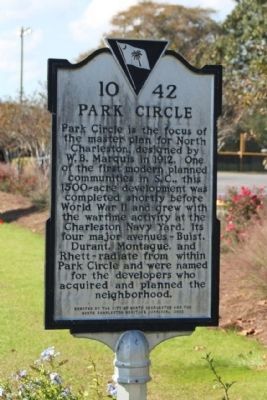
1. Park Circle Marker
Park Circle is the focus of the master plan for North Charleston, designed by W.B. Marquis in 1912. One of the first modern planned communities in S.C., this 1500-acre development was completed shortly before World War II and grew with the wartime activity at the Charleston Navy Yard. Its four major avenues – Buist, Dupont, Montague, and Rhett – radiate from within Park Circle and were named for the developers who acquired and planned the neighborhood.
Erected 2002 by The City of North Charleston and the North Charleston Heritage Corridor. (Marker Number 10-42.)
Topics and series. This historical marker is listed in this topic list: Roads & Vehicles. In addition, it is included in the South Carolina Historical Markers series list. A significant historical year for this entry is 1912.
Location. Marker has been permanently removed. It was located near 32° 52.819′ N, 79° 59.122′ W. Marker was in North Charleston, South Carolina, in Charleston County. It was in Park Circle. It was on South Rhett Avenue (State Highway 10-60) near Buist Avenue, in the median. Located at the south side of Park Circle. Today a city park area, including a butterfly garden. Touch for map. Marker was at or near this postal address: 4800 Park Cir, North Charleston SC 29405, United States of America.
We have been informed that this marker is no longer there and will not be replaced. This page is an archival view of what was.
Regionally, this marker was in Historic Charleston and in the Lowcountry. It was also in the American South, specifically in the Deep South, and on the Eastern Seaboard. Globally, it was in the North Atlantic Region, North America, the Western Hemisphere, the Western World, and the Anglosphere. Historically, it found itself in what was once the territory of the Mississippian Culture, one of the

this page online
Other nearby markers. At least 8 other markers are within 2 miles of this location, measured as the crow flies: St. Peter's A.M.E. Church (approx. half a mile away); a different marker also named St. Peter's A.M.E. Church (approx. half a mile away); Liberty Hill's Vietnam Fighting Men (approx. 0.6 miles away); Liberty Hill (approx. 0.6 miles away); Louie Tenement (approx. 0.8 miles away); Charleston Station (approx. 0.8 miles away); Naval Hospital District (approx. 1.2 miles away); Charleston Naval Hospital Historic District (approx. 1.2 miles away). Touch for a list and map of all markers in North Charleston.
Additional keywords. city planning
Photographed by Mike Stroud, 2010
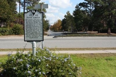
2. Park Circle Marker, looking south on South Rhett Avenue
Photographed by Mike Stroud, 2010
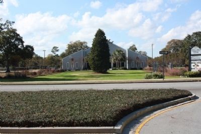
3. Park Circle Marker,(r), seen at southside of circle from South Rhett Avenue
Photographed by Jimmy Emerson, September 18, 2026
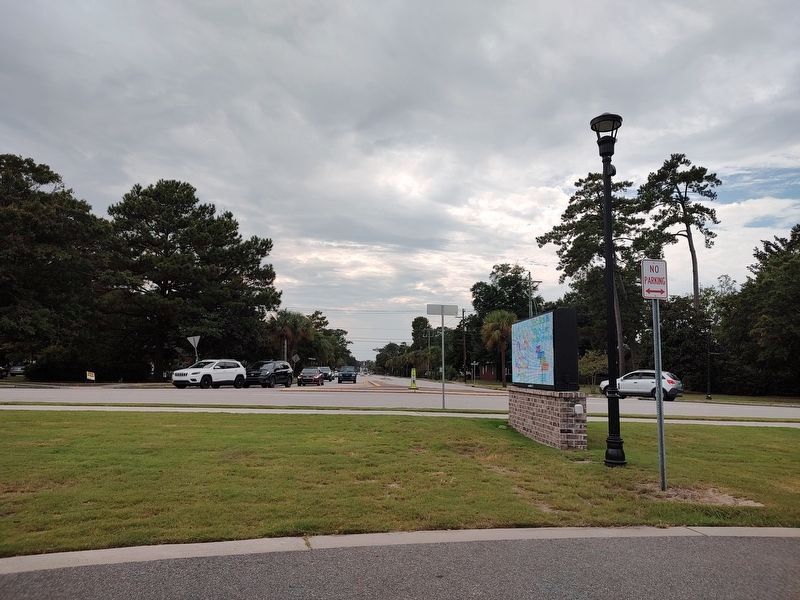
4. Park Circle Marker
Looking south from the circle towards Rhett Avenue where the marker used to stand.
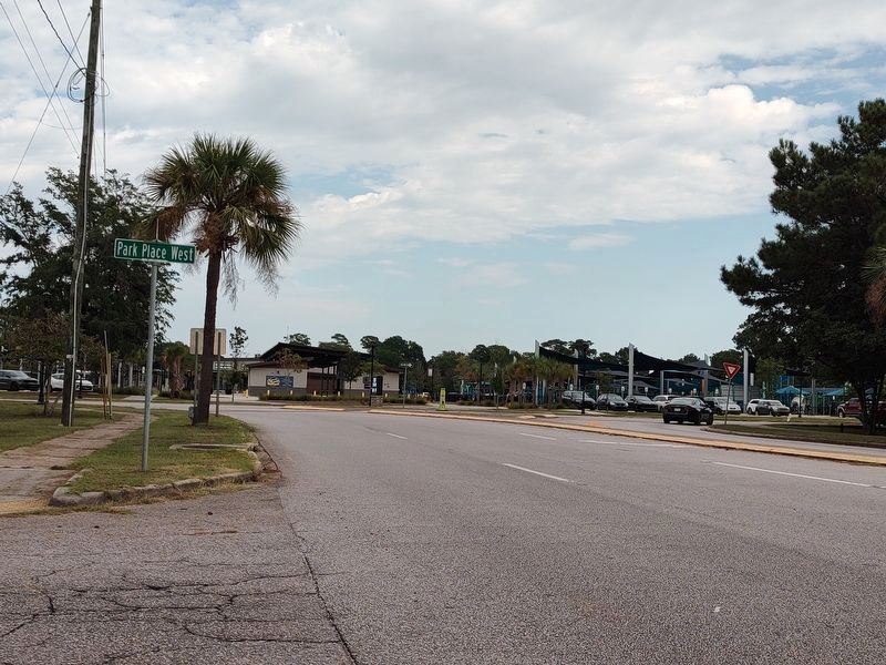
Photographed by Jimmy Emerson, September 18, 2026
5. Where Park Circle Marker used to stand
Credits. This page was last revised on September 21, 2026. It was originally submitted on December 15, 2010, by Mike Stroud of Bluffton, South Carolina. This page has been viewed 2,151 times since then and 160 times this year. Last updated on September 18, 2026, by Jimmy Emerson of Dalton, Georgia. Photos: 1, 2, 3. submitted on December 15, 2010, by Mike Stroud of Bluffton, South Carolina. 4, 5. submitted on September 18, 2026, by Jimmy Emerson of Dalton, Georgia. • Devry Becker Jones was the editor who published this page.
