
Walkerton in Bruce County, Ontario — Central Canada (North America)
The Founding of Walkerton
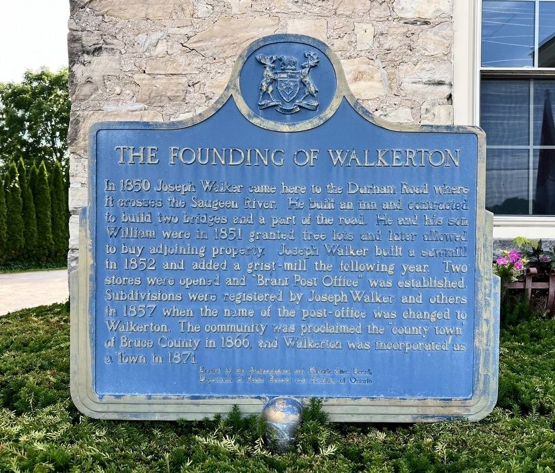
Photographed by Tim Boyd, July 4, 2025
1. The Founding of Walkerton Marker
Erected by Archeological and Historic Sites Board of Ontario.
Topics and series. This historical marker is listed in these topic lists: Roads & Vehicles • Settlements & Settlers. In addition, it is included in the Canada, Ontario Heritage Trust series list. A significant historical year for this entry is 1850.
Location. 44° 7.928′ N, 81° 8.736′ W. Marker is in Walkerton, Ontario, in Bruce County. It is on McNab Street 0.1 kilometers south of Durham Street East, on the right
this page online

Regionally, this marker is in Georgian Bay Country and in Southwestern Ontario. It is also in Central Canada. Globally, it is in North America, the Western Hemisphere, the Western World, and the Anglosphere. Historically, it finds itself in what was once a British colony, the Viceroyalty of New France, the Haudenosaunee (Iroquois) Confederacy, and Rupert’s Land.
Other nearby markers. At least 8 other markers are within 19 kilometers of this marker, measured as the crow flies: Greenock (approx. 9.5 kilometers away); Hanover Cenotaph (approx. 9.8 kilometers away); The Founding of Hanover / La Fondation de Hanover (approx. 9.8 kilometers away); Daniel Knechtel 1843 - 1936 (approx. 9.9 kilometers away); “Tommy Burns” (approx. 9.9 kilometers away); The Rt. Hon. John G. Diefenbaker (approx. 13 kilometers away); The Founding of Teeswater (approx. 18.6 kilometers away); Teeswater Cenotaph (approx. 18.6 kilometers away).
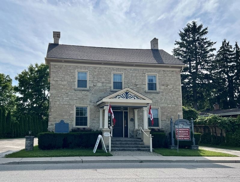
Photographed by Tim Boyd, July 4, 2025
2. The Founding of Walkerton Marker
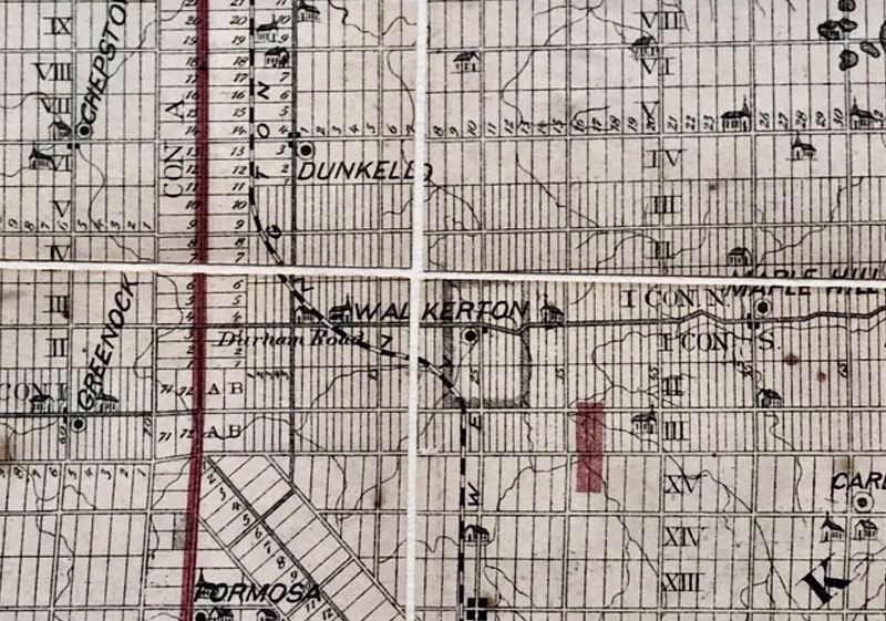
3. Walkerton and the Durham Road, 1881
Credits. This page was last revised on July 10, 2025. It was originally submitted on July 10, 2025, by Tim Boyd of Hamilton, Ontario. This page has been viewed 114 times since then and 16 times this year. Photos: 1, 2, 3. submitted on July 10, 2025, by Tim Boyd of Hamilton, Ontario. • Andrew Ruppenstein was the editor who published this page.
