Trumansburg in Tompkins County, New York — The American Northeast (Mid-Atlantic)
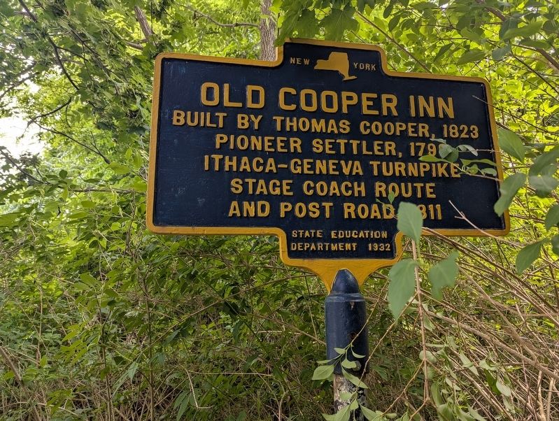
Old Cooper Inn
Photographed by Mira Earls, July 11, 2025
1. Old Cooper Inn Marker
Erected 1932 by State Education Department.
Topics. This historical marker is listed in these topic lists: Roads & Vehicles • Settlements & Settlers. A significant historical year for this entry is 1823.
Location. 42° 30.666′ N, 76° 37.092′ W. Marker is in Trumansburg, New York, in Tompkins County. It is on Trumansburg Road (New York State Route 96), on the right when traveling south. Touch for map. Marker is at or near this postal address: 1882 Trumansburg Road, Trumansburg NY 14886, United States of America. Touch for directions.

Regionally, this marker is in Upstate New York and in the Southern Tier. It is also in the American Northeast and in the Mid-Atlantic. Globally, it is in North America, the Western Hemisphere, the Western World, and the Anglosphere. Historically, it finds itself in what was once the Haudenosaunee (Iroquois) Confederacy, New Netherland, and one of the original Thirteen Colonies.
Other nearby markers. At least 8 other markers are within 3 miles of this marker,
this page online
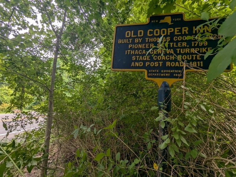
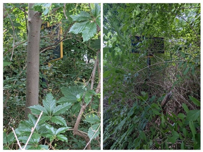
More about this marker. Marker may be obscured by shrubs/trees.
Photographed by Mira Earls, July 11, 2025
2. Old Cooper Inn Marker another view
Photographed by Mira Earls, July 11, 2025
3. View of the marker (collaged) from the side of the road to see just how obscured it is
Photographed by Mira Earls, July 11, 2025
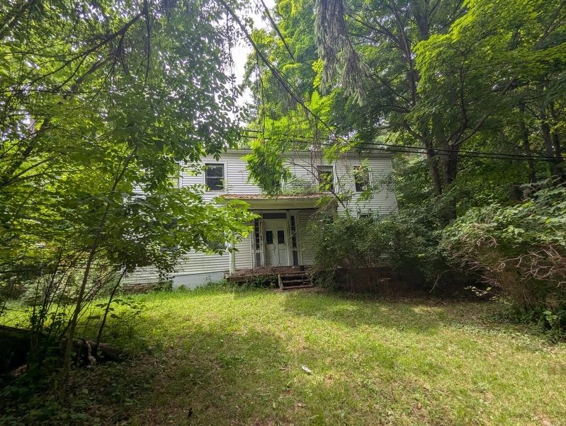
4. Old Cooper Inn Marker area

Photographed by Mira Earls, July 11, 2025
5. Old Cooper Inn Marker area of the structure
Photographed by Mira Earls, July 11, 2025
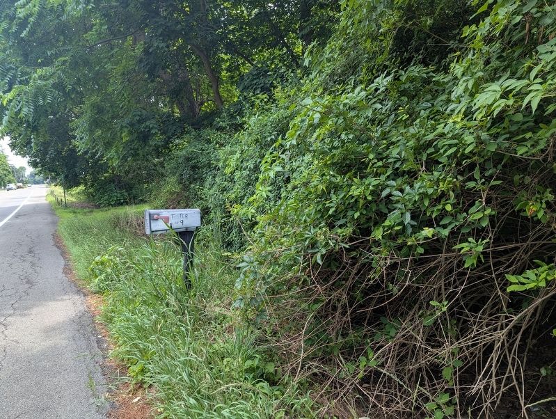
6. Old Cooper Inn Marker area mailbox near the marker
Credits. This page was last revised on July 23, 2025. It was originally submitted on July 11, 2025, by Mira Earls of Cortland, New York. This page has been viewed 95 times since then and 18 times this year. Photos: 1, 2, 3, 4, 5, 6. submitted on July 11, 2025, by Mira Earls of Cortland, New York. • Andrew Ruppenstein was the editor who published this page.
