Fordham Manor in the Bronx in Bronx County, New York — The American Northeast (Mid-Atlantic)
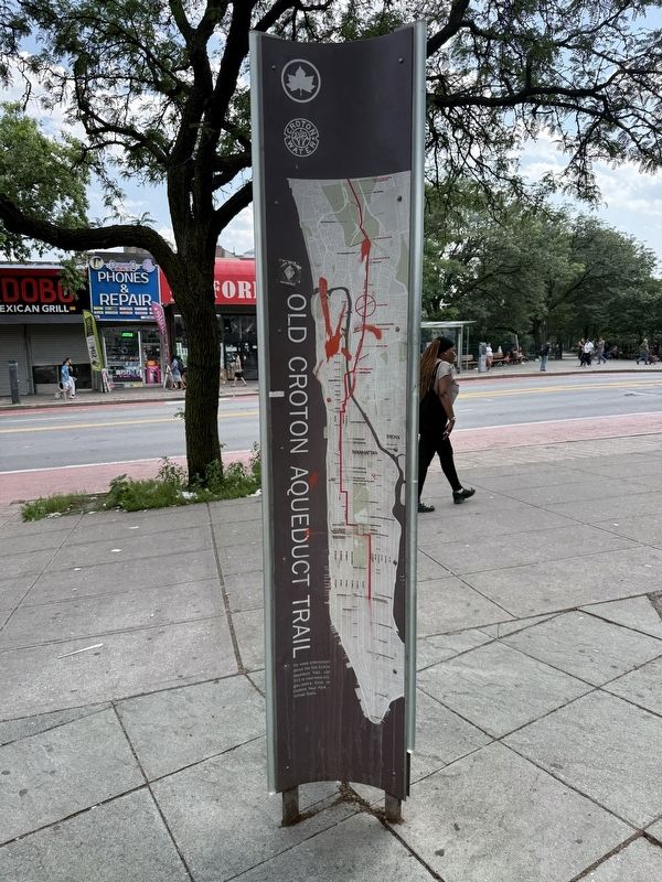
Old Croton Aqueduct Trail
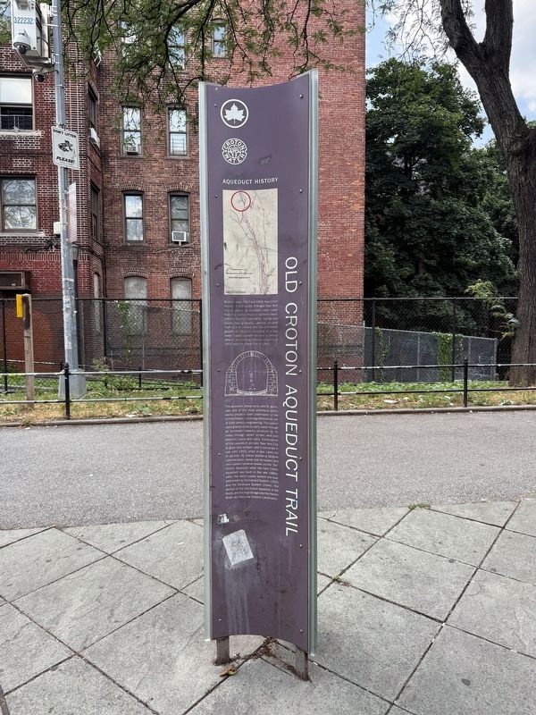
Aqueduct History
Between 1837 and 1842, the Croton Aqueduct profoundly changed New York City by providing abundant clean water from the Croton River in northern Westchester County. Local wells, springs and ponds had gradually become polluted from lack of sewers and the unchecked growth of industry. Investing in a new water supply system became a priority after a devastating cholera epidemic in 1832 and the Great Fire of 1835.
The aqueduct, designed by John B. Jervis, was one of the most ambitious public works projects ever undertaken in the United States and a magnificent example of 19th century engineering. The system used gravity alone to carry water through an enclosed masonry structure for 41 miles through varied terrain, and over streams, roads and rivers. Construction of the aqueduct allowed New York City to grow and prosper, and it remained in use until 1955, when it was taken out of service. As indoor plumbing became commonplace, water use increased, and this system became known as the 'Old' Croton Aqueduct when the New Croton Aqueduct was built in the late 1880s. Later, the water supply system was supplemented
this page online
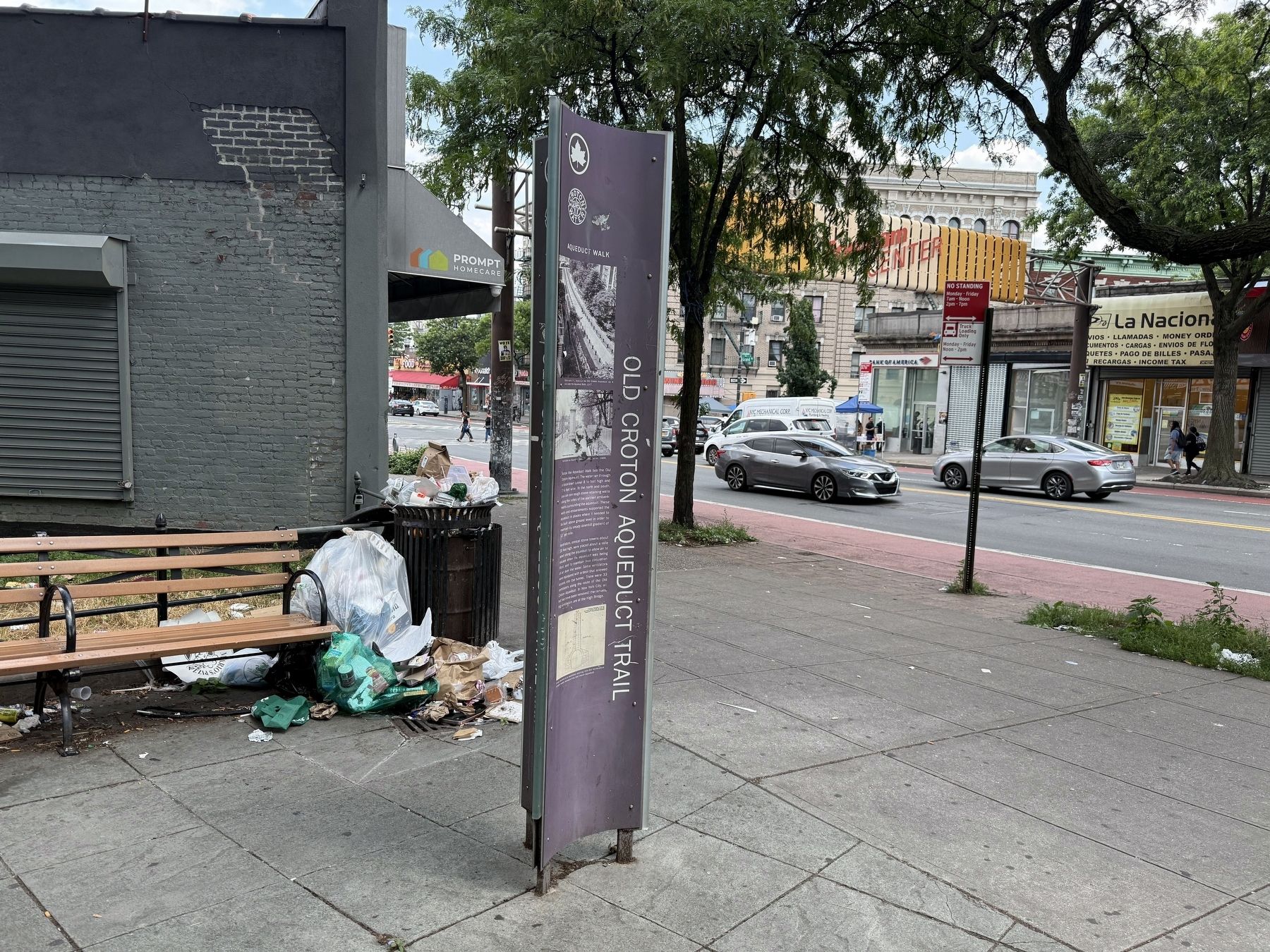
Aqueduct Walk
Below the Aqueduct Walk lies the Old Croton Aqueduct. The water ran through a brick-lined tunnel 8 ½ feet high and 7 ½ feet wide. To the north and south, you can see rough stone retaining walls along the sides of the earthen embankments surrounding the aqueduct. These walls and embankments supported the aqueduct in places where it needed to be built above round level in order to maintain its steady downhill gradient of 13" per mile.
Ventilators, conical stone towers about 20 feet high, were placed about a mile apart along the aqueduct to allow air to escape when the aqueduct was being filled, and to maintain free circulation of air over the water. Some ventilators were equipped with a door that allowed access into the tunnel. There were 33 ventilators along the route of the Old Croton Aqueduct. In New York City, all but two have been removed; the remaining ventilators are at the High Bridge.
Erected by NYC Parks.
Topics and series.

Location. 40° 51.774′ N, 73° 54.232′ W. Marker is in Bronx, New York, in Bronx County. It is in Fordham Manor. It is at the intersection of West Fordham Road and Aqueduct Walk, on the right when traveling west on West Fordham Road. Touch for map. Marker is at or near this postal address: 80 W Fordham Rd, Bronx NY 10468, United States of America. Touch for directions.

Regionally, this marker is in New York City. It is also in the American Northeast, in the Mid-Atlantic, and on the Eastern Seaboard. Globally, it is in the North Atlantic Region, North America, the Western Hemisphere, the Western World, and the Anglosphere. Historically, it finds itself in what was once New Netherland and also one of the original Thirteen Colonies.
Other nearby markers. At least 8 other markers are within walking distance of this marker: Devoe Park

Photographed by Devry Becker Jones (CC0), July 3, 2025
5. Nearby NYC Parks signage for the Aqueduct Walk
Credits. This page was last revised on July 11, 2025. It was originally submitted on July 11, 2025, by Devry Becker Jones of Washington, District of Columbia. This page has been viewed 178 times since then and 55 times this year. Photos: 1, 2, 3, 4, 5. submitted on July 11, 2025, by Devry Becker Jones of Washington, District of Columbia.
