Manistique in Schoolcraft County, Michigan — The American Midwest (Great Lakes)
The Manistique Lighthouse
Photographed by Mark Parker, June 25, 2025
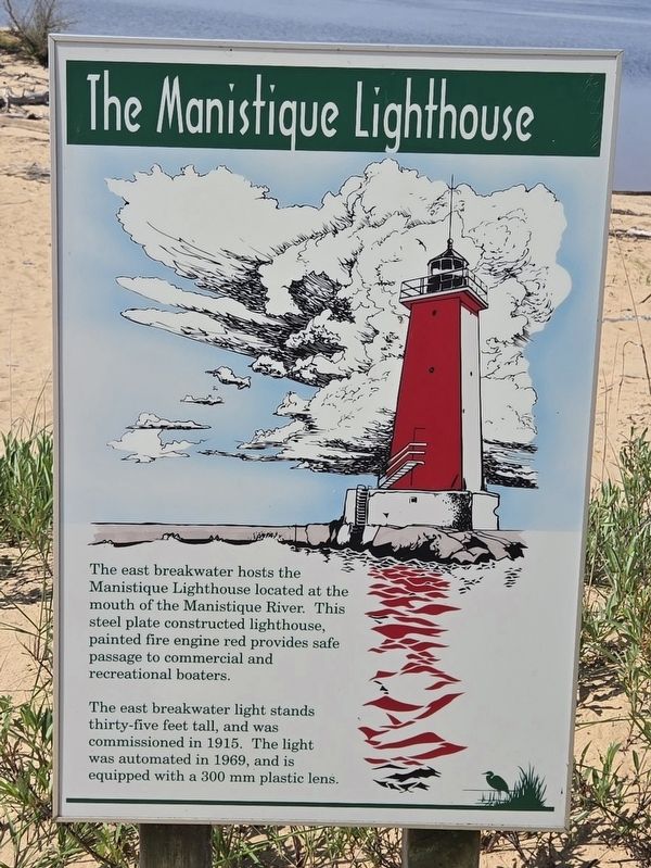
1. The Manistique Lighthouse Marker
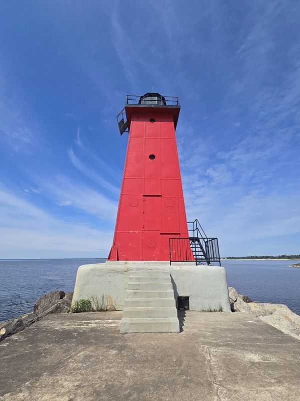
The east breakwater hosts the Manistique Lighthouse located at the mouth of the Manistique River. This steel plate constructed lighthouse, painted fire engine red provides safe passage to commercial and recreational boaters.
The east breakwater light stands thirty-five feet tall, and was commissioned in 1915. The light was automated in 1969, and is equipped with a 300 mm plastic lens.
Topics and series. This historical marker is listed in this topic list: Waterways & Vessels. In addition, it is included in the Lighthouses series list. A significant historical year for this entry is 1915.
Location. 45° 56.924′ N, 86° 14.635′ W. Marker is in Manistique, Michigan, in Schoolcraft County. It can be reached from the intersection of East Lake Shore Drive (U.S. 2) and Range Street, on the right when traveling east. From the Manistique Boardwalk parking lot at Lakeview Park, follow the walking trail West for 2/10 of a mile. Touch for map. Marker is at or near this postal address: 400 E Lake Shore Dr, Manistique MI 49854, United States of America. Touch for directions.

Regionally, this marker is on the Upper Peninsula. It is also
this page online
Other nearby markers. At least 8 other markers are within walking distance of this marker: Near-Shore Sawdust and Wood Chip Deposits (within shouting distance of this marker); Manistique Boardwalk (approx. 0.4 miles away); Carl D. Bradley (approx. 0.4 miles away); Living Memorial to the Soldiers and Sailors (approx. 0.6 miles away); Schoolcraft County World War Honor Roll (approx. 0.6 miles away); Schoolcraft County Veterans Memorial (approx. 0.6 miles away); Manistique Water Tower (approx. ¾ mile away); a different marker also named Manistique Boardwalk (approx. one mile away). Touch for a list and map of all markers in Manistique.
More about this marker. Manistique East Breakwater lighthouse is about 1/2 mile from the marker.
Photographed by Mark Parker, June 25, 2025
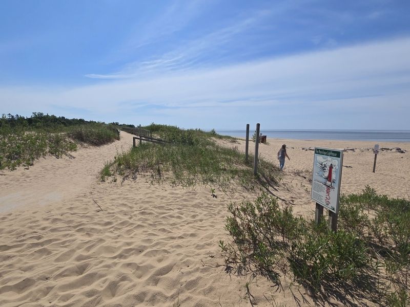
2. The Manistique Lighthouse Marker along the boardwalk trail from the parking lot

Photographed by Mark Parker, June 25, 2025
3. The Manistique Lighthouse Marker. The lighthouse is in the background.
Photographed by Mark Parker, June 25, 2025
4. The Manistique Lighthouse
Credits. This page was last revised on July 13, 2025. It was originally submitted on July 11, 2025, by Mark Parker of Hickory, North Carolina. This page has been viewed 188 times since then and 70 times this year. Photos: 1, 2, 3, 4. submitted on July 11, 2025, by Mark Parker of Hickory, North Carolina. • J. Makali Bruton was the editor who published this page.
