Manistique in Schoolcraft County, Michigan — The American Midwest (Great Lakes)
Believe It or Not

Photographed by Mark Parker, June 25, 2025
1. Believe It or Not Marker, Side One
The road across this siphon bridge is below the level of the river. This design results in the river helping to support the bridge.
Built by the Manístique Pulp & Paper Co., subsidiary of the Minneapolis Tribune, to create water power for turbínes & grinders.
Bridge
Built-1919
Length-300'
Width-66'
Rate of flow-650,000 gal. per hr.
Flume Length-3,000'
Width-200'
Depth-20'
Drainage-1400 sq. mi.
Erected by The Lions Club.
Topics and series. This historical marker is listed in these topic lists: Bridges & Viaducts • Roads & Vehicles. In addition, it is included in the Believe It or Not series list. A significant historical year for this entry is 1919.
Location. 45° 57.763′ N, 86° 15.031′ W. Marker is in Manistique, Michigan, in Schoolcraft County. It is on Deer Street (Michigan Route 94) east of Weston Street, on the left when traveling east. The marker is next to the Old Manistique Water Tower. Touch for map. Marker is at or near this postal address: 103 Deer St, Manistique MI 49854, United States of America. Touch for directions.

Regionally, this marker is on the Upper Peninsula. It is also in
this page online
Other nearby markers. At least 8 other markers are within 2 miles of this marker, measured as the crow flies: Schoolcraft County Veterans Memorial (approx. half a mile away); Living Memorial to the Soldiers and Sailors (approx. half a mile away); Schoolcraft County World War Honor Roll (approx. half a mile away); The Manistique Lighthouse (approx. one mile away); Near-Shore Sawdust and Wood Chip Deposits (approx. one mile away); Manistique Boardwalk (approx. 1.3 miles away); a different marker also named Manistique Boardwalk (approx. 1.3 miles away); Manistique Water Tower (approx. 1.3 miles away). Touch for a list and map of all markers in Manistique.
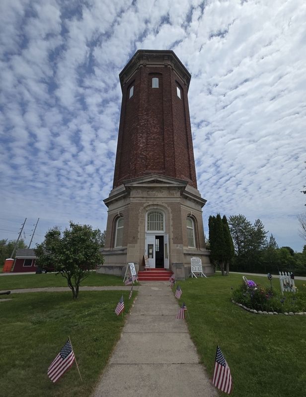
Photographed by Mark Parker, June 25, 2025
2. Believe It or Not Marker to the right of the Old Manistique Water Tower

Photographed by Mark Parker, June 25, 2025
3. Trunk Line Bridge Plaque
No. 202 1918
Built by
State Highway Department
Manistique Pulp & Paper Co.
Schoolcraft County
Under the supervision of
Frank F. Rogers. State Highway Com'r
Manistique Pulp & Paper Co.
Contractor Manistique, Mich.

Photographed by Mark Parker, June 25, 2025
4. Siphon Bridge
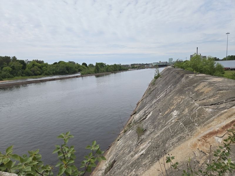
Photographed by Mark Parker, June 25, 2025
5. Flume south of Siphon Bridge
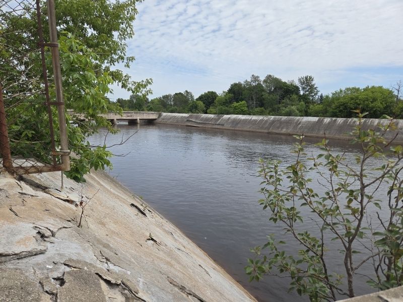
Photographed by Mark Parker, June 25, 2025
6. Flume north of Siphon Bridge
Credits. This page was last revised on July 12, 2025. It was originally submitted on July 12, 2025, by Mark Parker of Hickory, North Carolina. This page has been viewed 263 times since then and 73 times this year. Photos: 1, 2, 3, 4, 5, 6. submitted on July 12, 2025, by Mark Parker of Hickory, North Carolina. • J. Makali Bruton was the editor who published this page.
