
Ball's Falls in Lincoln in Niagara Region, Ontario — Central Canada (North America)
The Grist Mill 1809

Photographed by Kevin Westell, July 11, 2025
1. The Grist Mill 1809 - Marker
The mill operated with the power of the water from the Twenty Mile Creek. A raceway, or culvert, was dug upstream from the Lower waterfall, allowing water to flow into the basement, turning the overshot water wheel, to power all mechanisms in the mill.
Originally, this mill housed two sets of mill stones to grind grains. In 1846, an addition was built onto the mill that included two more stones. This increased production from one thousand to seven thousand barrels of flour per year. A steam engine was also installed to allow operations to continue, despite the decrease of water flow in the Twenty Mile Creek. The flour was sold to local markets and exported to Great Britain.
Production at the mill slowed down after the 1850s due to changes in water flow in the Twenty
this page online
Today, the grist mill operates once a year during the Ball's Falls Thanksgiving Festival, using electricity to grind wheat into whole-wheat flour.
Erected by Niagara Peninsula Conservation Authority.
Topics. This historical marker is listed in these topic lists: Colonial Era • Industry & Commerce • Settlements & Settlers. A significant historical year for this entry is 1809.
Location. 43° 8.058′ N, 79° 22.979′ W. Marker is in Lincoln, Ontario, in Niagara Region. It is in Ball's Falls. It can be reached from Sixth Avenue. The marker and building are 100 metres north of the road, and is the furthest north-west of the buildings. Touch for map. Marker is at or near this postal address: 3192 Sixth Avenue, Lincoln ON L0R 1S0, Canada. Touch for directions.

Regionally, this marker is on Ontario’s Golden Horseshoe and in Niagara Canada. It is also in Central Canada. Globally, it is in North America,
Photographed by Kevin Westell, July 11, 2025
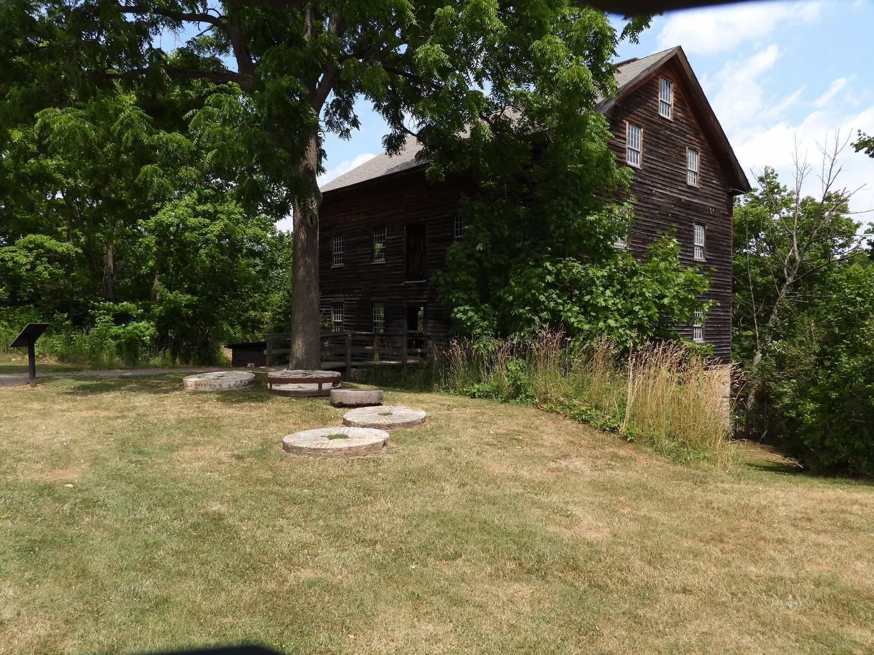
2. The Grist Mill
Photo faces north. The marker is on the far left. Some mill wheels are arrayed in front.
Other nearby markers. At least 8 other markers are within walking distance of this marker: The Saw Mill 1816 (a few steps from this marker); The Ball Home 1846 (about 90 meters away, measured in a direct line); The Blacksmith Shop c. 1850s (about 90 meters away); Glen Elgin Settlement - Ball's Falls (about 90 meters away); Fairchild Cabin c. 1800s (about 90 meters away); Ball's Grist-Mill (about 90 meters away); St. George Anglican Church 1864 (about 90 meters away); The Village of Glen Elgin (about 90 meters away). Touch for a list and map of all markers in Lincoln.

Photographed by Dale K. Benington, June 11, 2012
3. The Grist Mill, from the road, past the old church
Credits. This page was last revised on July 17, 2025. It was originally submitted on July 12, 2025, by Kevin Westell of St. Catharines, Ontario. This page has been viewed 115 times since then and 15 times this year. Photos: 1, 2, 3. submitted on July 12, 2025, by Kevin Westell of St. Catharines, Ontario. • Andrew Ruppenstein was the editor who published this page.
