Camp Verde in Yavapai County, Arizona — The American Mountains (Southwest)
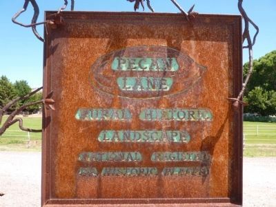
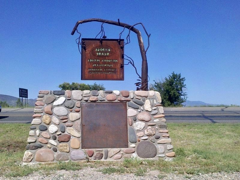
Pecan Lane Rural Historic Landscape
Photographed by Thomas Chris English, August 14, 2010
1. Pecan Lane Rural Historic Landscape Marker
Pecan Lane Rural Historic Landscape was added to the National Register of Historic Places on May 2, 2000.
Pecan Lane played a significant part in the agricultural history of Camp Verde. During the late 19th century and early twentieth centuries the community served as the breadbasket for the major towns in Yavapai and Coconino Counties, including Jerome, Prescott, and Flagstaff.
Once a principle farming area of Camp Verde, Pecan Lane is one of its best preserved, still conveying the sense of a rural country lane in a farming community.
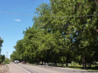
Pecan Lane's period of significance begins with U.S. settlement in 1893 persuant to the Homestead Act. The section of Eureka Ditch within this area was dug in 1896. The Pecan Lane name derives from rows of pecan trees that dominate the District and delineate its edges. In 1926 Noah Haydon purchased the property and moved there with his son Carl and daughter-in-law Eva. In 1927-28, Eva planted pecan seedlings in an attempt to introduce a new cash crop with the help of water from the Eureka Ditch. The seedlings developed into the majestic trees that distinguish Pecan Lane today.
Monument
this page online
Erected 2002 by Pecan Lane Historic District Group.
Topics. This historical marker is listed in these topic lists: Agriculture • Horticulture & Forestry • Natural Resources • Settlements & Settlers. A significant historical month for this entry is May 1865.
Location. 34° 34.498′ N, 111° 51.417′ W. Marker is in Camp Verde, Arizona, in Yavapai County. It is on North Montezuma Castle Highway 2 miles north of West Highway 260 & South Main Street, on the right when traveling north. Touch for map. Marker is in this post office area: Camp Verde AZ 86322, United States of America. Touch for directions.

Regionally, this marker is in Verde Valley and in the Yavapai-Apache Nation. It is also in the American Southwest and in the Mountain West. Globally, it is in North America, the Western Hemisphere, the Western World, and the Anglosphere. Historically, it finds itself in what was once New Spain and also Mexico’s Alta California.
Other nearby markers. At
February 22, 2010
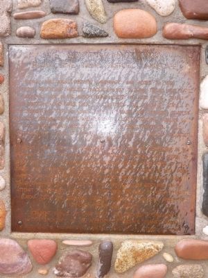
2. Historic Landscape Marker
Regarding Pecan Lane Rural Historic Landscape. Due to the weathered steel of the marker, this sign is hard to read.
February 22, 2010
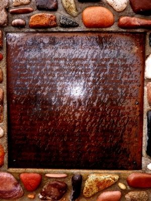
3. Pecan Lane Rural Historic Landscape Marker - Enhanced
The image gamma, contrast and sharpness were adjusted to bring out the text engraved in the steel plate.
February 22, 2010
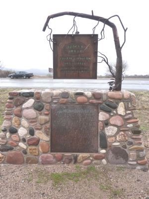
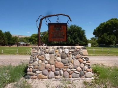
4. Pecan Lane Rural Historic Landscape Markers
courtesy Wikimedia Commons, September 13, 2012
5. Pecan Lane Rural Historic Landscape Markers
Photographed by Thomas Chris English, August 14, 2010
6. Pecan Lane Rural Historic Landscape Marker
Viewed from Montezuma Road.
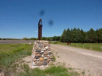
Photographed by Thomas Chris English, August 14, 2010
7. Pecan Lane Rural Historic Landscape Marker
Viewed through a dirty window.
Photographed by Thomas Chris English, August 14, 2010
8. Pecan Lane
Credits. This page was last revised on September 11, 2026. It was originally submitted on February 22, 2010. This page has been viewed 2,724 times since then and 84 times this year. Photos: 1. submitted on August 27, 2010, by Chris English of Phoenix, Arizona. 2, 3, 4. submitted on February 22, 2010. 5. submitted on August 3, 2026, by Craig Baker of Sylmar, California. 6, 7, 8. submitted on August 27, 2010, by Chris English of Phoenix, Arizona. • Syd Whittle was the editor who published this page.
Editor’s want-list for this marker. A recent closeup photo of this marker (and any other marker without a photo less than ten yeas old). • Can you help?
