Leighton in Colbert County, Alabama — The American South (East South Central)
Battle of Town Creek
Photographed by Deborah Spencer, July 12, 2025
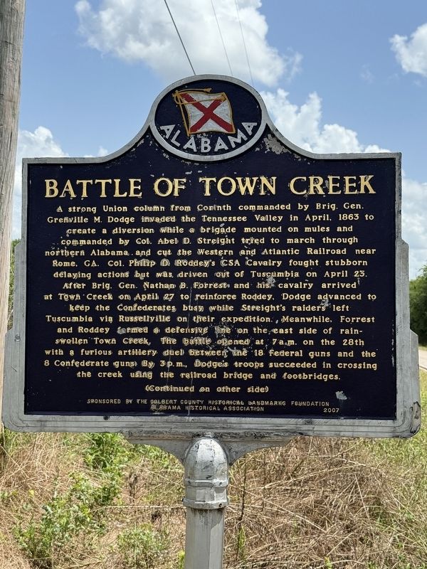
1. Battle of Town Creek Marker
Inscription.
A strong Union column from Corinth commanded by Brig. Gen.
Grenville M. Dodge invaded the Tennessee Valley in April, 1863 to
create a diversion while a brigade mounted on mules and
commanded by Col. Abel D. Streight tried to march through
northern Alabama and cut the Western and Atlantic Railroad near
Rome, GA. Col. Philip D Roddey's CSA Cavalry fought stubborn
delaying actions but was, driven out of Tuscumbia on April 23.
After Brig. Gen. Nathan B. Forrest and his cavalry arrived
at Town Creek on April 27 to reinforce Roddey. Dodge advanced to
keep the Confederates busy while Streight's raiders left
Tuscumbia via Russellville on their expedition. Meanwhile, Forrest
and Roddey formed a defensive line on the east side of rain-swollen Town Creek. The battle opened at 7 a.m. on the 28th
with a furious artillery duel between the 18 Federal guns and the
8 Confederate guns. By 3 p.m., Dodge's troops succeeded in crossing
the creek using the railroad bridge and footbridges.
(Continued on other side)
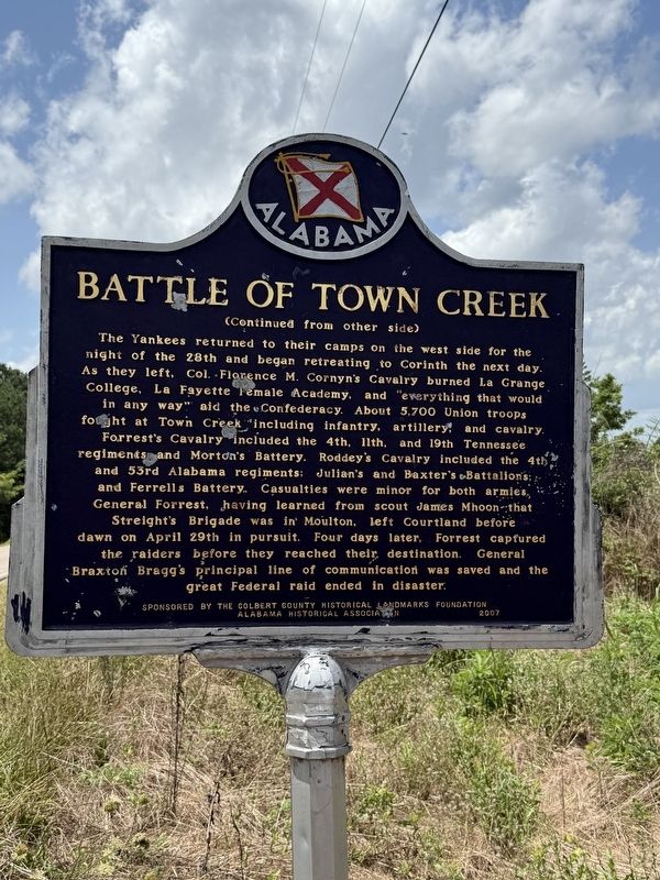
Reverse Side
(Continued from other side)
The Yankees returned to their camps on the west side for the
night
Click or scan to see this page online
of the 28th and began retreating to Corinth the next day.
As they left, Col. Florence M. Cornyn's Cavalry burned La Grange
College, La Fayette Female Academy, and "everything that would
in any way” aid the Confederacy. About 5,700 Union troops
fought at Town Creek "including infantry, artillery, and cavalry.
Forrest's Cavalry included the 4th, 11th, and 19th Tennessee
regiments and Morton's Battery. Roddey's Cavalry included the 4th,
and 53rd Alabama regiments; Julian's and Baxter's Battalions;
and Ferrells Battery. Casualties were minor for both armies,
General Forrest, having learned from scout James Mhoon that
Streight's Brigade was in Moulton, left Courtland before
dawn on April 29th in pursuit. Four days later, Forrest captured
the raiders before they reached their destination. General
Braxton Bragg's principal line of communication was saved and the
great Federal raid ended in disaster.
Erected 2007 by Colbert County Historical Landmarks Foundation and the Alabama Historical Association.
Topics. This historical marker is listed in this topic list: War, US Civil. A significant historical date for this entry is April 28, 1863.
Location. 34° 41.466′ N,
Photographed by Deborah Spencer, July 12, 2025
2. Battle of Town Creek Marker
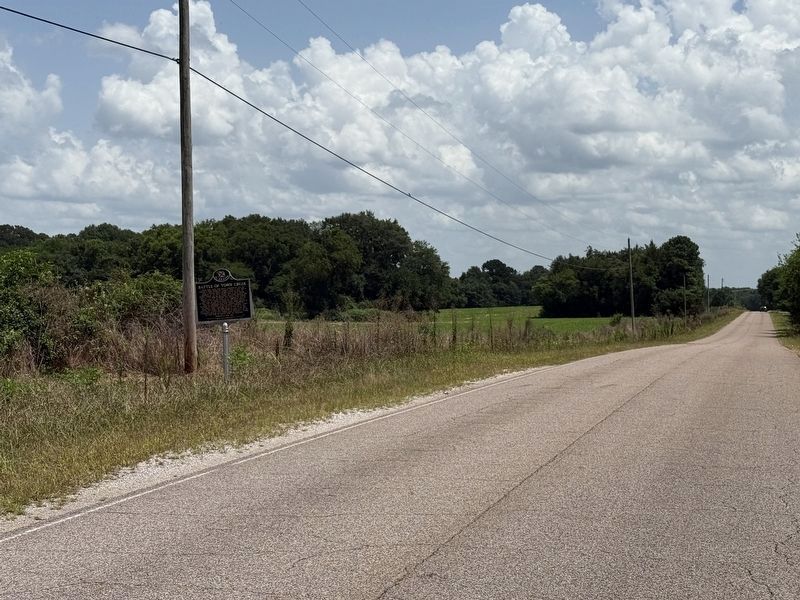
87° 27.699′ W. Marker is in Leighton, Alabama, in Colbert County. It is on Old Highway 20 south of King's Lane, on the right when traveling north. Marker is located on the east side of old Alabama Highway 20 about a mile from the Junction of Alabama Highway 20 west of Town Creek. Touch for map. Marker is in this post office area: Leighton AL 35646, United States of America. Touch for directions.
Regionally, this marker is in North Alabama and in the Shoals. It is also in the American South, specifically in the Deep South, in Appalachia, and specifically in Southern Appalachia. Globally, it is in North America, a Gulf of Mexico state, the Western Hemisphere, the Western World, and the Anglosphere. Historically, it finds itself in what was once the territory of the Mississippian Culture, one of the Confederate States of America, and the Antebellum South.
Credits. This page was last revised on July 15, 2025. It was originally submitted on July 13, 2025, by Deborah Spencer of Huntsville, Alabama. This page has been viewed 640 times since then and 224 times this year. Photos:1, 2, 3. submitted on July 13, 2025, by Deborah Spencer of Huntsville, Alabama. • James Hulse was the editor who published this page.