Mesopotamia in Trumbull County, Ohio — The American Midwest (Great Lakes)
Mesopotamia Village District
Photographed by Craig Doda, July 12, 2025
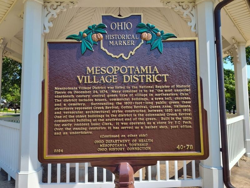
1. Mesopotamia Village Distreict Marker, Side One
Mesopotamia Village District was listed in the National Register of Historic Places on December 24, 1974. Many consider it to be "the most unspoiled nineteenth century central green type of village in northeastern Ohio," The district includes houses, commercial buildings, a town hall, churches. and a cemetery. Surrounding the 1600-foot-long public green these structures represent Greek Revival, Gothic Revival, Queen Anne, Italianate, and vernacular architectural styles constructed between 1820 and 1902. One of the oldest buildings in the district is the colonnaded Greek Revival Built in the 1820s commercial building at the southwest end of the green. for early resident Isaac Clark, it was operated as a store by F.G. Peck. Over the ensuing centuries it has served as a barber shop, post office, and an undertakers.
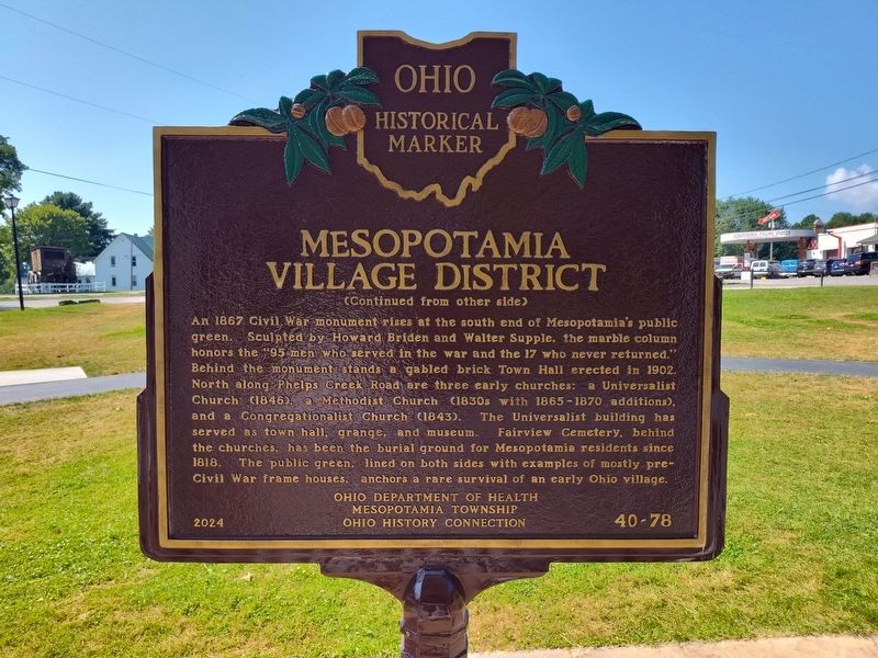
An 1867 Civil War monument rises at the south end of Mesopotamia's public green. Sculpted by Howard Briden and Walter Supple, the marble column honors the 95 men who served in the war and the 17 who never returned." Behind the monument stands a gabled brick Town Hall erected in 1902. North along Phelps Creek
this page online
Erected 2024 by Ohio Department Of Health, Mesopotamia Township, Ohio History Connection. (Marker Number 40-78.)
Topics and series. This historical marker is listed in these topic lists: Architecture • Industry & Commerce • Religion & Religious Structures • War, US Civil. In addition, it is included in the Ohio Historical Society / The Ohio History Connection, and the Unitarian Universalism (UUism) series lists. A significant historical date for this entry is December 24, 1974.
Location. 41° 27.547′ N, 80° 57.277′ W. Marker is in Mesopotamia, Ohio, in Trumbull County. It is at the intersection of Phelps Creek Road (Ohio Route 534) and Kinsman Road ( Route 87), on the
Photographed by Craig Doda, July 12, 2025
2. Mesopotamia Village Distreict Marker, Side Two

Regionally, this marker is in the Western Reserve and in the Mahoning Valley. It is also in the American Midwest. Globally, it is in North America, the Western Hemisphere, the Western World, and the Anglosphere. Historically, it finds itself in what was once the Haudenosaunee (Iroquois) Confederacy, the territory of the Mississippian Culture, and the Northwest Territory.
Other nearby markers. At least 8 other markers are within walking distance of this marker: Mesopotamia World War I & II Veterans Memorial (within shouting distance of this marker); First Amish Settlers to Mesopotamia, Ohio (within shouting distance of this marker); Civil War Memorial (within shouting distance of this marker); Nigerian Dwarf Goat (about 400 feet away, measured in a direct line); Century Outhouse (about 700 feet away); Fairview Cemetery (approx. 0.2 miles away); Congregationalist Church (approx. 0.2 miles away); Old Stone House (approx. 0.4 miles away).
Photographed by Craig Doda, July 12, 2025
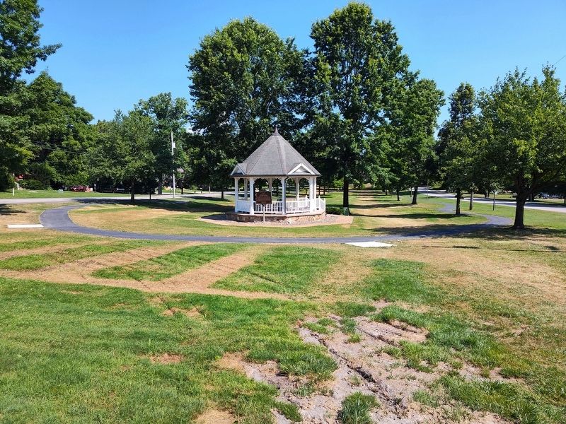
3. Mesopotamia Village District Marker

Photographed by Mike Wintermantel, January 5, 2026
4. Mesopotamia Village District Marker
Side Two
Credits. This page was last revised on January 5, 2026. It was originally submitted on July 14, 2025, by Craig Doda of Napoleon, Ohio. This page has been viewed 284 times since then and 99 times this year. Photos: 1, 2, 3. submitted on July 14, 2025, by Craig Doda of Napoleon, Ohio. 4. submitted on January 5, 2026, by Mike Wintermantel of Pittsburgh, Pennsylvania. • Bernard Fisher was the editor who published this page.
