
Deweyville in Box Elder County, Utah — The American Mountains (Southwest)
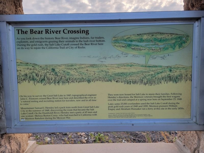
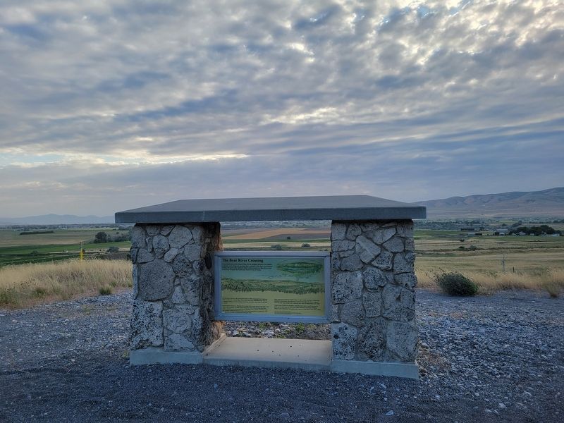
The Bear River Crossing
Photographed by Jeremy Snow, June 21, 2025
1. The Bear River Crossing Marker
On his way to survey the Great Salt Lake in 1843, topographical engineer John C. Fremont crossed Bear River near here and described the river as "a natural resting and recruiting station for travelers, now and in all time to come."
Mountaineer Samuel J. Hensley led a pack train north from Great Salt Lake City in the summer of 1848, discovering the route that became the Salt Lake Cutoff. On the Humboldt River, Hensley met a party of 45 men and one woman -Melissa Burton Coray- who had marched to California with the Mormon Battalion during the Mexican War.
They were now bound for Salt Lake to rejoin their families. Following Hensley's directions, the Mormon veterans brought the first wagons over the trail and camped at a spring near here on September 23, 1848.
Later, some 25,000 overlanders used the Salt Lake Cutoff during the peak gold rush
this page online
Topics. This historical marker is listed in these topic lists: Exploration • Roads & Vehicles. A significant historical year for this entry is 1843.
Location. 41° 44.316′ N, 112° 5.922′ W. Marker is in Deweyville, Utah, in Box Elder County. It is on Cobblecrest Road, on the right when traveling south. Touch for map. Marker is at or near this postal address: 3316 Cobblecrest Road, Deweyville UT 84309, United States of America. Touch for directions.

Regionally, this marker is in Utah’s Cache Valley and in the West Desert. It is also in the American Mountain West and on the Colorado Plateau. Globally, it is in North America, the Rocky Mountains, the Western Hemisphere, the Western World, and the Anglosphere. Historically, it finds itself in what was once New Spain and also Mexico’s Alta California.
Other nearby markers. At least 8 other markers are within 5 miles of this marker, measured as the crow flies: Hansen Dairy (approx. 3.2 miles away); Hampton's Bear River Crossing (approx. 3.3 miles away);
Photographed by Jeremy Snow, June 21, 2025
2. The Bear River Crossing Marker
Credits. This page was last revised on July 15, 2025. It was originally submitted on July 14, 2025, by Jeremy Snow of Cedar City, Utah. This page has been viewed 162 times since then and 51 times this year. Photos: 1, 2. submitted on July 14, 2025, by Jeremy Snow of Cedar City, Utah. • Andrew Ruppenstein was the editor who published this page.
