Norman in Cleveland County, Oklahoma — The American South (West South Central)
Indian Territory, 1866-1889
| — | Norman Legacy Trail | — |
Photographed by Duane and Tracy Marsteller, June 20, 2025
1. Indian Territory, 1866-1889 Marker
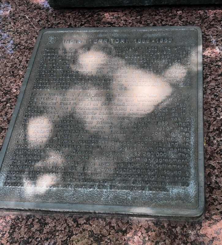
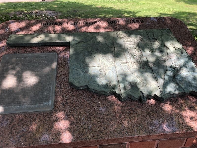
In the treaties of 1866 with the Creeks and the Seminoles, the United States obtained title to the western portion of the Creeks' land and all of the Seminoles' land. From these land areas, the government retained a large block of the ceded Creek and Seminole land that became known as the Unassigned Lands. This land, by treaty agreement, was to be held for other Indian tribes. By January 1889, when it became increasingly clear to the Creek Nation that the federal government was intent upon opening the Unassigned Lands
this page online
Erected by City of Norman, Oklahoma.
Topics. This historical marker is listed in these topic lists: Indigenous Peoples and Communities • Settlements & Settlers. A significant historical month for this entry is January 1889.
Location. 35° 12.915′ N, 97° 26.392′ W. Marker is in Norman, Oklahoma, in Cleveland County. It is on South Jones Avenue north of East Duffy Street, on the left when traveling north. Marker is on the Norman Legacy Trail, which runs parallel and to the west of South Jones Street. Touch for map. Marker is in this post office area: Norman OK 73069, United States of America. Touch for directions.

Regionally,
Photographed by Duane and Tracy Marsteller, June 20, 2025
2. Indian Territory, 1866-1889 Marker
Other nearby markers. At least 8 other markers are within walking distance of this marker: Native Oklahoma (here, next to this marker); The Great Land Run of 1889 (about 400 feet away, measured in a direct line); The City of Norman 1889-1907 (about 400 feet away); Extra! Extra! Read All About It! (about 400 feet away); University on the Prairie (approx. 0.2 miles away); A Tough Decade (approx. 0.2 miles away); The Brooks Years and World War One (approx. 0.2 miles away); Norman the University City (approx. 0.2 miles away). Touch for a list and map of all markers in Norman.
Photographed by Duane and Tracy Marsteller, June 20, 2025
3. Indian Territory, 1866-1889 Marker
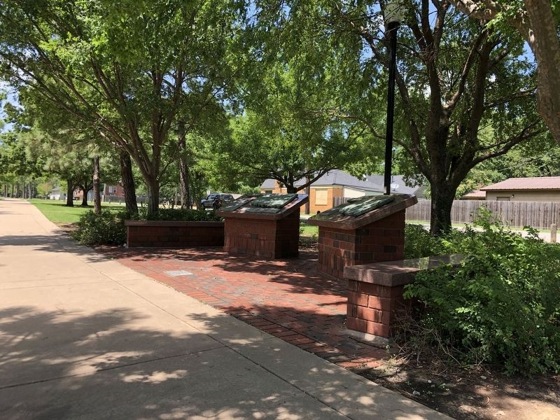
This marker is on the right.
Credits. This page was last revised on July 16, 2025. It was originally submitted on July 16, 2025, by Duane and Tracy Marsteller of Murfreesboro, Tennessee. This page has been viewed 174 times since then and 33 times this year. Photos: 1, 2, 3. submitted on July 16, 2025, by Duane and Tracy Marsteller of Murfreesboro, Tennessee.
