Mapleton Township in West Fargo in Cass County, North Dakota — The American Midwest (Upper Plains)
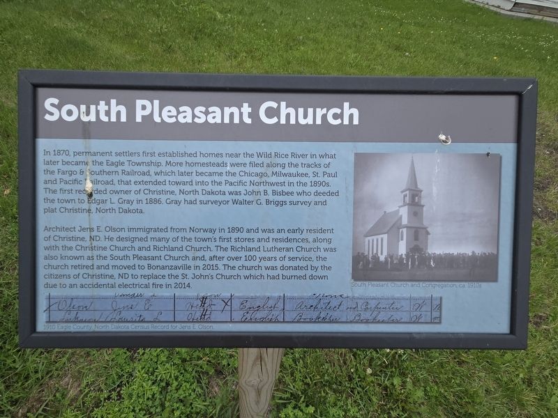
South Pleasant Church
Photographed by Mark Parker, June 27, 2025
1. South Pleasant Church Marker
Architect Jens E. Olson immigrated from Norway in 1890 and was an early resident of Christine, ND. He designed many of the town's first stores and residences, along with the Christine Church and Richland Church. The Richland Lutheran Church was also known as the South Pleasant Church and, after over 100 years of service, the church retired and moved to Bonanzaville in 2015. The church was donated by the citizens of Christine, ND to replace the St. John's Church which had burned down due to an accidental electrical fire in 2014.
(Captions)
South Pleasant Church and Congregation, ca. 1910s
1910 Eagle
this page online
Topics and series. This historical marker is listed in these topic lists: Immigration • Religion & Religious Structures • Settlements & Settlers. In addition, it is included in the Norwegian-Americans series list. A significant historical year for this entry is 1870.
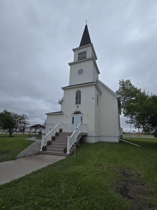
Location. 46° 52.586′ N, 96° 55.614′ W. Marker is in West Fargo, North Dakota, in Cass County. It is in Mapleton Township. It is on Main Avenue West (U.S. 10) east of 21st Street Northwest, on the right when traveling east. The marker is to the right of the front steps of South Pleasant Church, which is part of Bonanzaville USA Historic Museum and Pioneer Village. Touch for map. Marker is at or near this postal address: 1351 Main Avenue W, West Fargo ND 58078, United States of America. Touch for directions.

Regionally, this marker is in the Red River Valley and in Greater Fargo Area. It is also in the American Lewis & Clark Corridor, on the prairies, and on the Northern Plains. Globally, it is in North America, the Western Hemisphere, the Western World, and the Anglosphere. Historically, it finds itself
Photographed by Mark Parker, June 27, 2025
2. Full view of South Pleasant Church. Marker is right of the steps
Other nearby markers. At least 8 other markers are within walking distance of this marker: North Dakota Jewry (a few steps from this marker); Buffalo Bandstand (a few steps from this marker); Pioneer Memorial Fund (a few steps from this marker); Dobrinz School (a few steps from this marker); Habberstad Cabin (a few steps from this marker); Land Office Bank (within shouting distance of this marker); a different marker also named Land Office Bank (within shouting distance of this marker); Cass County District Court (within shouting distance of this marker). Touch for a list and map of all markers in West Fargo.
Photographed by Mark Parker, June 27, 2025
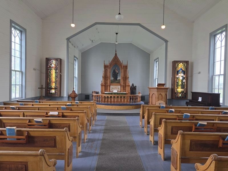
3. South Pleasant Church nave and chancel
Photographed by Mark Parker, June 27, 2025
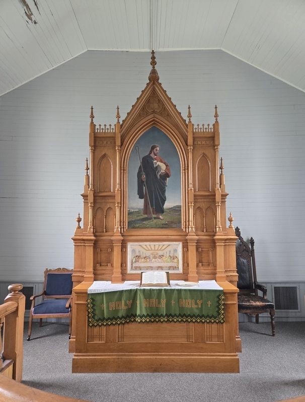
4. South Pleasant Church altar
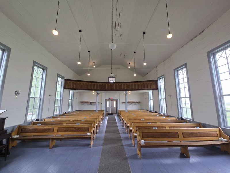
Photographed by Mark Parker, June 27, 2025
5. South Pleasant Church nave and balcony
Credits. This page was last revised on July 19, 2025. It was originally submitted on July 16, 2025, by Mark Parker of Hickory, North Carolina. This page has been viewed 161 times since then and 50 times this year. Photos: 1, 2, 3, 4, 5. submitted on July 16, 2025, by Mark Parker of Hickory, North Carolina. • Andrew Ruppenstein was the editor who published this page.
