Southwest Area in Cedar Rapids in Linn County, Iowa — The American Midwest (Upper Plains)
Wastewater Plant
Photographed by Jason Voigt, June 18, 2025
1. Wastewater Plant Marker
Essential Services
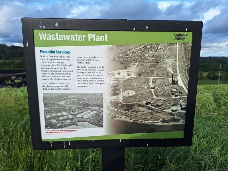
In 1933, the Cedar Rapids City Council approved construction of the City's first sewage treatment plant. The City bought out property owners in the Stumptown area and constructed a state-of-the-art facility. It was the first in Iowa to accept both household and industrial waste.
A $2.2 million expansion to the plant approved in 1952 doubled the facility's capacity. Domes were added over the digesters in 1969 to help control odors.
The facility operated until the new Water Pollution Control Facility on Bertram Road opened in 1980. The tops of some former water treatment tanks are still visible near the Solid Waste Agency compost operations.
Erected by Solid Waste Agency.
Topics. This historical marker is listed in these topic lists: Environment • Industry & Commerce. A significant historical year for this entry is 1933.
Location. 41° 57.796′ N, 91° 38.851′ W. Marker is in Cedar Rapids, Iowa, in Linn County. It is in the Southwest Area. It can be reached from A Street Southwest east of C Street Southwest. Marker is located off a trail on the grounds of Mount Trashmore. Touch for map. Marker
this page online

Regionally, this marker is in Eastern Iowa. It is also in the American Midwest and in the Corn Belt. Globally, it is in North America, the Western Hemisphere, the Western World, and the Anglosphere. Historically, it finds itself in what was once the territory of the Mississippian Culture and also the Louisiana Purchase.
Other nearby markers. At least 8 other markers are within walking distance of this marker: Landfill History (about 600 feet away, measured in a direct line); The Quarry (about 700 feet away); Stumptown (approx. 0.2 miles away); The Floods of 2008 (approx. 0.2 miles away); World War II Memorial (approx. 0.4 miles away); Bohemian Commercial Historic District (approx. 0.7 miles away); Welcome to Novak Plaza (approx. 0.7 miles away); Kosek Bandstand (approx. 0.7 miles away). Touch for a list and map of all markers in Cedar Rapids.
Regarding Wastewater Plant. Access to view all markers on the grounds of Mount Trashmore requires a check-in on site.
Also see . . . Mount Trashmore.

Photographed by Jason Voigt, June 18, 2025
2. Wastewater Plant Marker
Credits. This page was last revised on July 17, 2025. It was originally submitted on July 17, 2025, by Jason Voigt of Glen Carbon, Illinois. This page has been viewed 119 times since then and 23 times this year. Photos: 1, 2. submitted on July 17, 2025, by Jason Voigt of Glen Carbon, Illinois.
