
Crow Wing State Park in Crow Wing County, Minnesota — The American Midwest (Upper Plains)
Red River Oxcart Trail
Old Crow Wing Historic Site
Photographed by McGhiever, June 28, 2025
1. Red River Oxcart Trail Marker
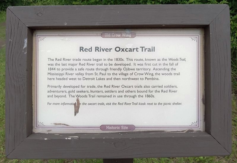
The Red River trade route began in the 1830s. This route, known as the Woods Trail, was the last major Red River trail to be developed. It was first cut in the fall of 1844 to provide a safe route through friendly Ojibwe territory. Ascending the Mississippi River valley from St. Paul to the village of Crow Wing, the woods trail here headed west to Detroit Lakes and then northwest to Pembina.
Primarily developed for trade, the Red River Oxcart trails also carried soldiers, adventurers, gold seekers, hunters, settlers and others bound for the Red River and beyond. The Woods Trail remained in use through the 1860s.
For more information on the oxcart trails, visit the Red River Trail kiosk next to the picnic shelter.
Erected by Minnesota Department of Natural Resources.
Topics. This historical marker is listed in this topic list: Roads & Vehicles. A significant historical year for this entry is 1844.
Location. 46° 16.651′ N, 94° 20.337′ W. Marker is near Crow Wing, Minnesota, in Crow Wing County. It is in Crow Wing State Park. It can be reached from Crow Wing State Park Road. The marker is at the northwest end of
this page online

Regionally, this marker is in Minnesota’s Northland. It is also in the American Midwest, in the Corn Belt, and in the Great River Road Region. Globally, it is in North America, the Great North Woods, the Western Hemisphere, the Western World, and the Anglosphere. Historically, it finds itself in what was once Rupert’s Land, the territory of the Mississippian Culture, and the Northwest Territory.
Other nearby markers. At least 8 other markers are within walking distance of this marker: Crow Wing, A Cultural Landscape (within shouting distance of this marker); The Clement H. Beaulieu Mansion (within shouting distance of this marker); Commercial District (within shouting distance of this marker); The Clement Beaulieu House (about 300 feet away, measured in a direct line); The Beaulieu House: Removal, Return, Research, Restoration (about 300 feet away); Warehouse (about 300 feet away); Bailey House (about 300 feet
Photographed by McGhiever, September 26, 2013
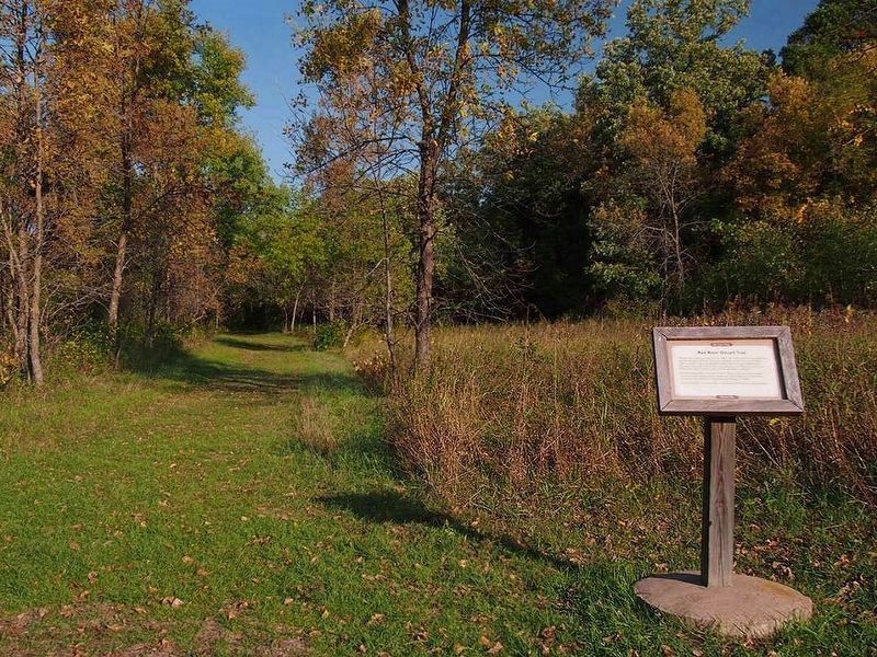
2. Red River Oxcart Trail Marker
Also see . . . The Historic Red River Oxcart Trail: MN’s Fur Trade Highway. (Submitted on July 6, 2026.)
Credits. This page was last revised on July 9, 2026. It was originally submitted on July 19, 2025, by McGhiever of Minneapolis, Minnesota. This page has been viewed 157 times since then and 52 times this year. Photos: 1, 2. submitted on July 19, 2025, by McGhiever of Minneapolis, Minnesota.
