Wawatam Township in Mackinaw City in Cheboygan County, Michigan — The American Midwest (Great Lakes)
Using the Land
Photographed by Bill Coughlin, July 13, 2025
1. Using the Land Marker
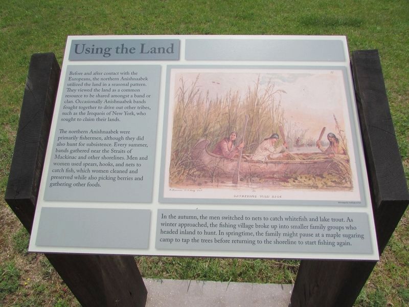
Before and after contact with the Europeans, the northern Anishnaabek utilized the land in a seasonal pattern. They viewed the land as a common resource to be shared amongst a band or clan. Occasionally Anishnaabek bands fought together to drive out other tribes, such as the Iroquois of New York, who sought to claim their lands.
The northern Anishnaabek were primarily fishermen, although they did also hunt for subsistence. Every summer, bands gathered near the Straits of Mackinac and other shorelines. Men and women used spears, hooks, and nets to catch fish, which women cleaned and preserved while also picking berries and gathering other foods.
In the autumn, the men switched to nets to catch whitefish and lake trout. As winter approached, the fishing village broke up into smaller family groups who headed inland to hunt. In springtime, the family might pause at a maple sugaring camp to tap the trees before returning to the shoreline to start fishing again.
Topics. This historical marker is listed in this topic list: Indigenous Peoples and Communities.
Location. 45° 47.167′ N, 84° 44.116′ W.
this page online

Regionally, this marker is in Northern Michigan Lower Peninsula, on the Straits of Mackinac, and in one of the Lake Huron Shore counties. It is also in the American Midwest. Globally, it is in North America, in the Great North Woods, on the Great Lakes, in the Western Hemisphere, in the Western World, and in the Anglosphere. Historically, it finds itself in what was once the Northwest Territory.
Other nearby markers. At least 8 other markers are within walking distance of this marker: Encampment at Pequodenonge (here, next to this marker); The Anishnaabek (here, next to this marker); Anishnaabek Home (a few steps from this marker); The Powder Magazine (within shouting distance of this marker); Fort Michilimackinac (within shouting distance of this marker); Specialist Soldiers: The Royal Regiment of Artillery
Photographed by Bill Coughlin, July 13, 2025
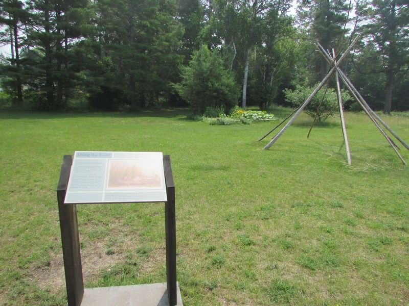
2. Using the Land Marker
More about this marker. The right of the marker contains a picture of three Anishnaabek in a canoe gathering wild rice.
Photographed by Bill Coughlin, July 13, 2025
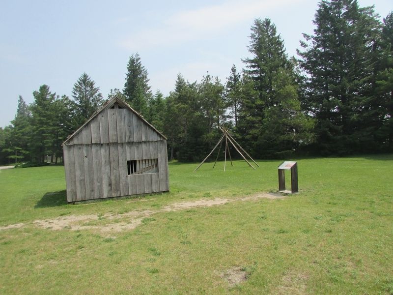
3. Marker at Colonial Michilimackinac
Credits. This page was last revised on July 19, 2025. It was originally submitted on July 19, 2025, by Bill Coughlin of Woodland Park, New Jersey. This page has been viewed 70 times since then and 14 times this year. Photos: 1, 2, 3. submitted on July 19, 2025, by Bill Coughlin of Woodland Park, New Jersey.
