
Fort Erie in Niagara Region, Ontario — Central Canada (North America)
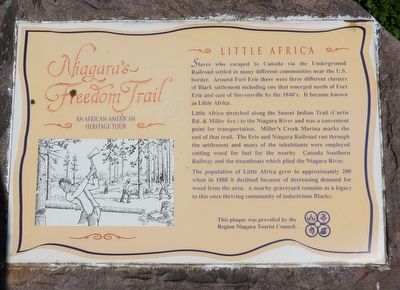
Niagara's Freedom Trail - Little Africa
An African-American heritage tour
Photographed by Kevin Westell, July 18, 2025
1. Niagara's Freedom Trail - Little Africa - Marker
Little Africa stretched along the Sunset Indian Trail (Curtis Rd. & Miller Ave.) to the Niagara River and was a convenient point for transportation. Miller's Creek Marina marks the end of that trail. The Erie and Niagara Railroad ran through the settlement and many of the inhabitants were employed cutting wood for fuel for the nearby Canada Southern Railway and the steamboats which plied the Niagara River.
The population of Little Africa grew to approximately 200 when in 1880 it declined because of decreasing demand for wood from the area. A nearby graveyard remains as a legacy to this once thriving community of industrious Blacks.
Erected by The Region Niagara Tourist Council.
Topics. This historical marker is listed in these topic lists: Abolition & Underground RR • Settlements & Settlers. A significant historical year for this entry is 1840.
Location. 42° 57.121′ N,
this page online

Regionally, this marker is on Ontario’s Golden Horseshoe and in Niagara Canada. It is also in Central Canada. Globally, it is in North America, on the Great Lakes, in the Western Hemisphere, in the Western World, and in the Anglosphere. Historically, it finds itself in what was once a British colony, the Viceroyalty of New France, the Haudenosaunee (Iroquois) Confederacy, and Rupert’s Land.
Other nearby markers. At least 8 other markers are within 3 kilometers of this marker, measured as the crow flies: Marina (within shouting distance of this marker); The Welland Canal at the Niagara Frontier (within shouting distance of this marker); Bert Miller (approx. 0.4 kilometers away); Crossing of the River Brethren
Photographed by Kevin Westell, July 18, 2025
2. Niagara's Freedom Trail - Little Africa - Marker in context
Photographed by Kevin Westell, July 18, 2025
3. Niagara's Freedom Trail - Little Africa - Marker in context
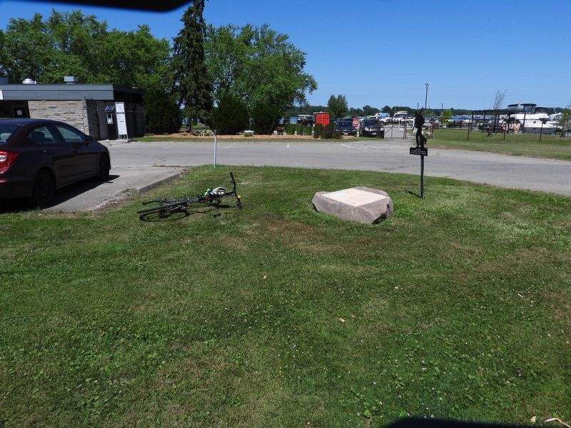
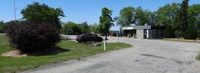
The rock with this marker (just left of centre) is close to the driveway and parking lot for the marina, beside a black silhouette marker.
Credits. This page was last revised on August 19, 2025. It was originally submitted on July 19, 2025, by Kevin Westell of St. Catharines, Ontario. This page has been viewed 240 times since then and 142 times this year. Photos: 1, 2, 3. submitted on July 19, 2025, by Kevin Westell of St. Catharines, Ontario. • Bill Pfingsten was the editor who published this page.
