Brimley in Chippewa County, Michigan — The American Midwest (Great Lakes)
Tower View
Photographed by Bill Coughlin, July 12, 2025
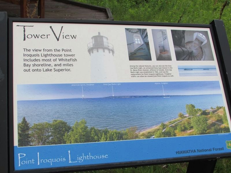
1. Tower View Marker
The view from the Point Iroquois Lighthouse tower includes most of Whitefish Bay shoreline, and miles out onto Lake Superior.
Among the natural features, you can also see the Gros Cap Reefs Light, an unmanned buoy-type beacon in the St. Marys River channel, offshore in Canada. Gros Cap Reefs Light was established in 1962, and was the replacement for Point Iroquois Lighthouse. Freighter traffic can often be viewed from Point Iroquois as well.
Topics and series. This historical marker is listed in this topic list: Waterways & Vessels. In addition, it is included in the Lighthouses series list. A significant historical year for this entry is 1962.
Location. 46° 29.065′ N, 84° 37.935′ W. Marker is in Brimley, Michigan, in Chippewa County. It can be reached from W Lakeshore Drive, on the right when traveling west. Marker is located behind the lighthouse. Touch for map. Marker is at or near this postal address: 13042-13260 W Lakeshore Drive, Brimley MI 49715, United States of America. Touch for directions.

Regionally, this marker is on Michigan’s Upper Peninsula. It is also in the American Midwest and on Lake Superior’s
this page online
Other nearby markers. At least 5 other markers are within walking distance of this marker: Place of the Iroquois Bones (within shouting distance of this marker); Glacial Gifts (within shouting distance of this marker); Point Iroquois Light Station (within shouting distance of this marker); Anishinabeg (within shouting distance of this marker); Point Iroquois (about 300 feet away, measured in a direct line).
More about this marker. A photograph of the view from the tower, identifying American Spirit, freighter; Gros Cap Reefs Light; and Alpena, freighter appears at the bottom of the marker.
Photos of the stairs inside the lighthouse are also on the marker.
Photographed by Bill Coughlin, July 12, 2025
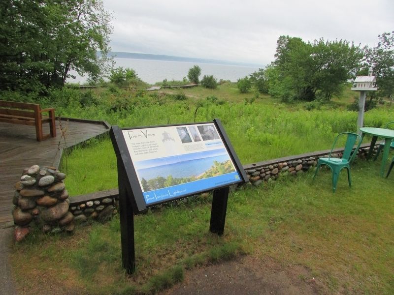
2. Tower View Marker
Photographed by Bill Coughlin, July 12, 2025
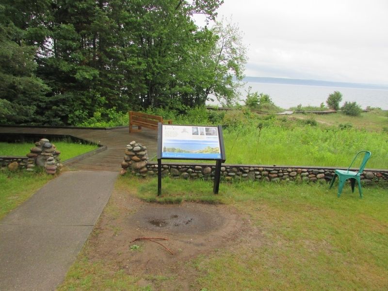
3. Tower View Marker
Photographed by Bill Coughlin, July 12, 2025
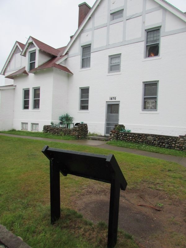
4. Tower View Marker
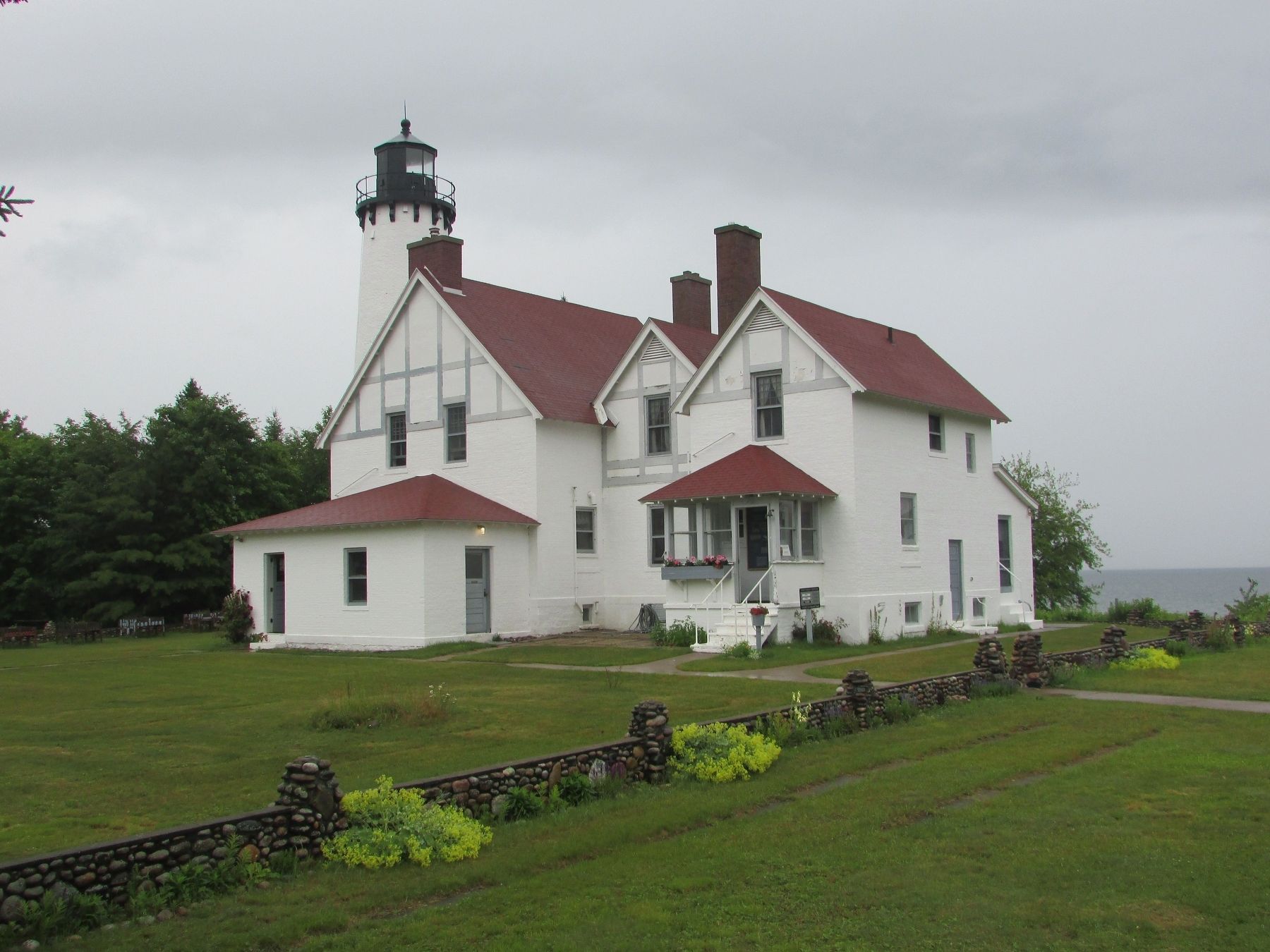
The Point Iroquois Lighthouse can be seen in front of the marker.
Photographed by Bill Coughlin, July 12, 2025
5. The Point Iroquois Lighthouse
Credits. This page was last revised on July 19, 2025. It was originally submitted on July 19, 2025, by Bill Coughlin of Woodland Park, New Jersey. This page has been viewed 108 times since then and 20 times this year. Photos: 1, 2, 3, 4, 5. submitted on July 19, 2025, by Bill Coughlin of Woodland Park, New Jersey.
