Richmond Hill in Bryan County, Georgia — The American South (South Atlantic)
Fort McAllister
Photographed by Jeff Leichsenring, July 6, 2025
1. Fort McAllister Marker (Re-erected)
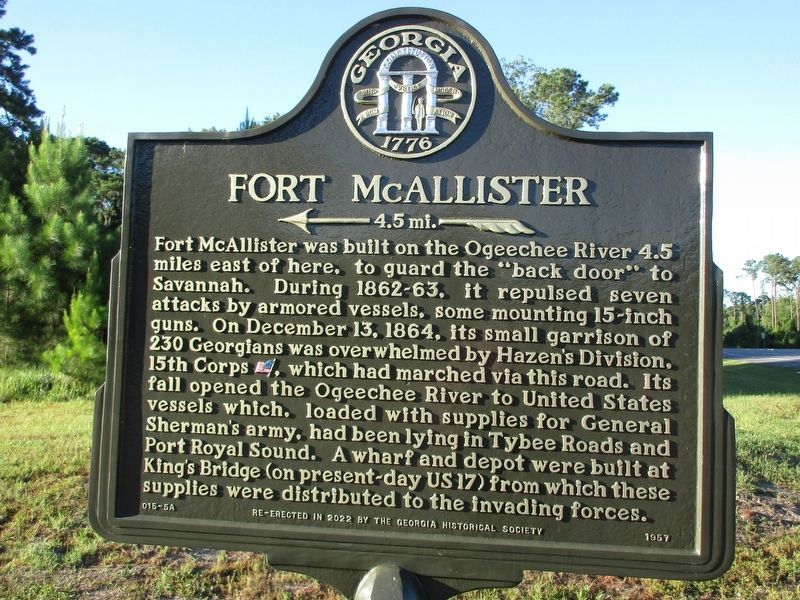
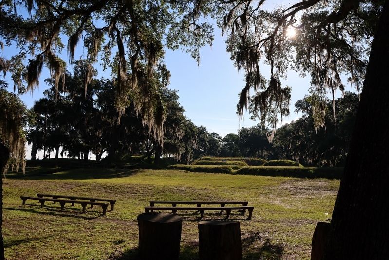
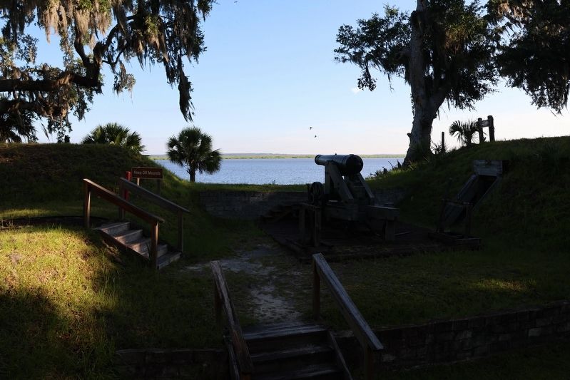
Fort McAllister was built on the Ogeechee River 4.5 miles east of here, to guard the "back door" to Savannah. During 1862-63, it repulsed seven attacks by armored vessels, some mounting 15-inch guns. On December 13, 1864, its small garrison of 230 Georgians was overwhelmed by Hazen's Division. 15th Corps (US), which had marched via this road. Its fall opened the Ogeechee River to United States vessels which, loaded with supplies for General Sherman's army, had been lying in Tybee Roads and Port Royal Sound. A wharf and depot were built at King's Bridge (on present-day US 17) from which these supplies were distributed to the invading forces.
Erected 2022 by Georgia Historical Society. (Marker Number 015-5A.)
Topics. This historical marker is listed in these topic lists: Forts and Castles • War, US Civil. A significant historical date for this entry is December 13, 1864.
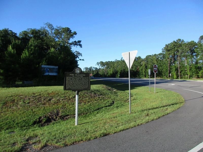
Location. 31° 53.393′ N, 81° 15.693′ W. Marker is in Richmond Hill, Georgia, in Bryan County. It is at the intersection of Fort McAllister Road (State Highway 144 Spur) and Bryan Neck Road (State Highway 144) when traveling east on Fort McAllister Road. Touch for map.
this page online

Regionally, this marker is on Georgia’s Coastal Plain, on the Georgia Coast and the Golden Isles, and in Greater Savannah. It is also in the American South, specifically in the Deep South, and on the Eastern Seaboard. Globally, it is in the North Atlantic Region, North America, the Western Hemisphere, the Western World, and the Anglosphere. Historically, it finds itself in what was once New Spain, the territory of the Mississippian Culture, one of the original Thirteen Colonies, one of the Confederate States of America, and the Antebellum South.
Other nearby markers. At least 8 other markers are within 2 miles of this marker, measured as the crow flies: Kilpatrick on Bryan Neck (within shouting distance of this marker); Richard James Arnold (approx. 0.6 miles away); Burnt Church Cemetery (approx. ¾ mile away); George W. McAllister (approx. 0.8 miles away); The Clay Family of Bryan Neck (approx. 0.8 miles away); George Washington Carver School (approx. 1.3 miles away); Bryan Neck Missionary Baptist Church
Photographed by Jeff Leichsenring, July 6, 2025
2. Fort McAllister Marker (Re-erected)
Other markers no longer nearby. Kilpatrick On Bryan Neck (was a few steps from this marker but has been replaced with another marker now near it); a different marker also named Fort McAllister (was a few steps from this marker but has been replaced with another marker now near it).
Related marker. Click here for another marker that is related to this marker. Old 1959 marker located nearby.
Photographed by Jeff Leichsenring, July 6, 2025
3. Fort McAllister
Photographed by Jeff Leichsenring, July 6, 2025
4. Fort McAllister
Credits. This page was last revised on July 25, 2025. It was originally submitted on July 19, 2025, by Jeff Leichsenring of Garland, Texas. This page has been viewed 184 times since then and 57 times this year. Photos: 1, 2, 3, 4. submitted on July 19, 2025, by Jeff Leichsenring of Garland, Texas. • Bernard Fisher was the editor who published this page.
