
Crow Wing State Park in Crow Wing County, Minnesota — The American Midwest (Upper Plains)
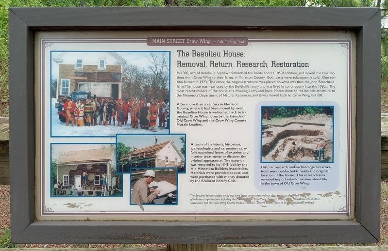
The Beaulieu House: Removal, Return, Research, Restoration
Main Street, Crow Wing — Self-Guiding Trail
Photographed by McGhiever, June 28, 2025
1. The Beaulieu House: Removal, Return, Research, Restoration Marker
In 1880, two of Beaulieu's nephews dismantled the house and its 1850s addition, and moved the two sections from Crow Wing to their farms, in Morrison County. Both parts were subsequently sold. One section burned in 1923. The other, the original structure, was placed on what was then the John Branchaud farm. The house was next used by the Bellefuille family and was lived in continuously into the 1980s. The most recent owners of the house as a dwelling, donated the historic structure to the Minnesota Department of Natural Resources, and it was moved back to Crow Wing in 1988.
After more than a century in Morrison County, where it had been moved by oxen, the Beaulieu House is welcomed back to its original Crow Wing home by the Friends of Old Crow Wing and the Crow Wing County Muzzle Loaders.
A team of architects, historians, archaeologists and carpenters carefully examined layers of exterior and interior treatments to discover the original appearance. The exterior was restored to its 1849 look by the Mid-Minnesota Builders Association. Materials were provided at costs, and were purchased with money donated by the Brainerd
this page online
Historic research and archaeological excavations were conducted to verify the original location of the house. This research also revealed important information about life in the town of Old Crow Wing.
The Beaulieu House project could not have been undertaken without the support and sponsorship of volunteer organizations including the Friends of Old Crow Wing, Brainerd Rotary Club, Mid-Minnesota Builders Association and the Crow Wing County Muzzle Loaders. Sincere thanks goes to all the individuals involved.
Erected by Minnesota Department of Natural Resources.
Topics. This historical marker is listed in these topic lists: Anthropology & Archaeology • Architecture • Charity & Public Work. A significant historical year for this entry is 1988.
Location. 46° 16.645′ N, 94° 20.273′ W. Marker is near Crow Wing, Minnesota, in Crow Wing County. It is in Crow Wing State Park. It can be reached from Crow Wing State Park Road. The marker is on the Main Street Trail northwest of the Beaulieu House. Touch for map. Marker is in this post office area: Brainerd MN 56401, United States of America. Touch for directions.

Regionally,
Photographed by McGhiever, June 28, 2025
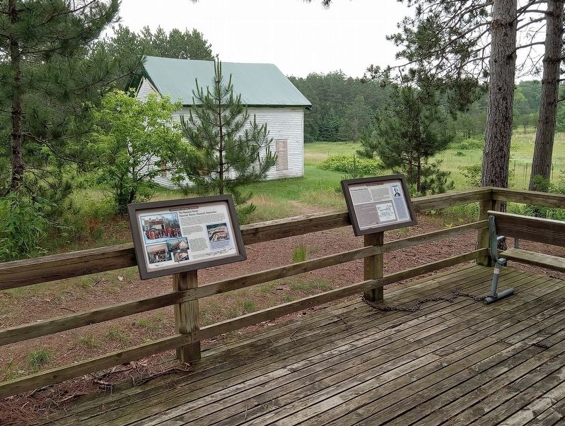
2. The Beaulieu House Marker (left) at the Beaulieu House overlook
Other nearby markers. At least 8 other markers are within walking distance of this marker: The Clement Beaulieu House (here, next to this marker); The Clement H. Beaulieu Mansion (here, next to this marker); Crow Wing, A Cultural Landscape (within shouting distance of this marker); Commercial District (within shouting distance of this marker); Bailey House (within shouting distance of this marker); Sioux Camp Prior to 1768 Ambush (within shouting distance of this marker); Warehouse (within shouting distance of this marker); Town Well (within shouting distance of this marker). Touch for a list and map of all markers in Crow Wing.
Photographed by McGhiever, September 26, 2013
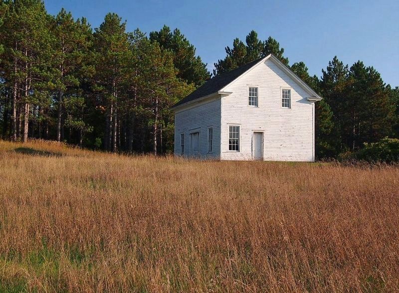
3. The Beaulieu House in Crow Wing State Park
Credits. This page was last revised on March 11, 2026. It was originally submitted on July 22, 2025, by McGhiever of Minneapolis, Minnesota. This page has been viewed 152 times since then and 28 times this year. Photos: 1, 2. submitted on July 22, 2025, by McGhiever of Minneapolis, Minnesota. 3. submitted on July 21, 2025, by McGhiever of Minneapolis, Minnesota.
