Welland in Niagara Region, Ontario — Central Canada (North America)
The Raceway
Welland Feeder Canal
Photographed by Kevin Westell, July 21, 2025
1. The Raceway - Marker
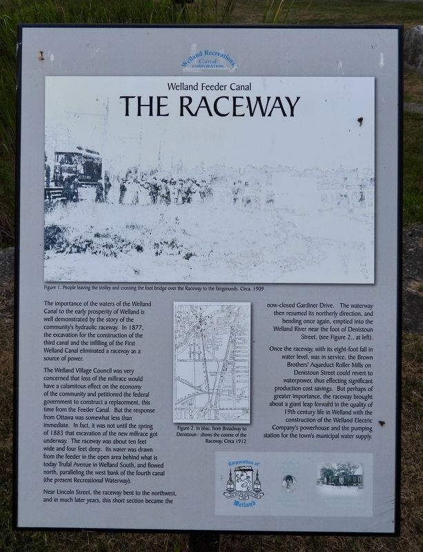
The Welland Village Council was very concerned that loss of the millrace would have a calamitous effect on the economy of the community and petitioned the federal government to construct a replacement, this time from the Feeder Canal. But the response from Ottawa was somewhat less than immediate. In fact, it was not until the spring of 1883 that excavation of the new millrace got underway. The raceway was about ten feet wide and four feet deep. Its water was drawn from the feeder in the open area behind what is today Trufal Avenue in Welland South, and flowed north, paralleling the west bank of the fourth canal (the present Recreational Waterway).
Near Lincoln Street, the raceway bent to the northwest, and in much later years, this short section became the now-closed Gardiner Drive.
this page online
Once the raceway, with its eight-foot fall in water level, was in service, the Brown Brothers Aqueduct Roller Mills an Denistoun Street could revert to waterpower, thus effecting significant production cost savings. But perhaps of greater importance, the raceway brought about a giant leap forward in the quality of 19th century life in Welland with the construction of the Welland Electric Company's powerhouse and the pumping station for the town's municipal water supply.
Erected by Welland Canal Recreational Canal Corporation.
Topics. This historical marker is listed in these topic lists: Industry & Commerce • Waterways & Vessels. A significant historical year for this entry is 1845.
Location. 42° 58.448′ N, 79° 15.468′ W. Marker is in Welland, Ontario, in Niagara Region. It is at the intersection of Prince Charles Drive S and Ontario Road, on the right when traveling north on Prince Charles Drive S. The marker is one of six in a semi-circle around a small marsh-pond
Photographed by Kevin Westell, July 21, 2025
2. The Raceway - Marker in context
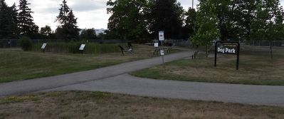
The photo faces east and south-east from Prince Charles Drive. The marker is one of the six around the marsh-pond within the feeder canal lock.

Regionally, this marker is on Ontario’s Golden Horseshoe and in Niagara Canada. It is also in Central Canada. Globally, it is in North America, on the Great Lakes, in the Western Hemisphere, in the Western World, and in the Anglosphere. Historically, it finds itself in what was once a British colony, the Viceroyalty of New France, the Haudenosaunee (Iroquois) Confederacy, and Rupert’s Land.
Other nearby markers. At least 8 other markers are within walking distance of this marker: The Origins (here, next to this marker); The Eight Bridges (here, next to this marker); Junction Village (here, next to this marker); The Decline (here, next to this marker); The Feeder Canal - Junction Lock - 1845 (a few steps from this marker); Economic Impact (a few steps from this marker); Artist - Catharine Mills "Hockey" (approx. 0.9 kilometers away); Ukrainian Labour Temple 2005 (approx. one kilometer away). Touch for a list and map of all markers in Welland.
Credits. This page was last revised on July 23, 2025. It was originally submitted on July 23, 2025, by Kevin Westell of St. Catharines, Ontario. This page has been viewed 105 times since then and 46 times this year. Photos: 1, 2. submitted on July 23, 2025, by Kevin Westell of St. Catharines, Ontario. • Andrew Ruppenstein was the editor who published this page.
