Stratford in Perth County, Ontario — Central Canada (North America)
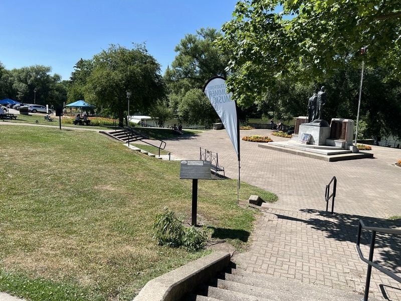
The Saving of the Stratford Parks
Photographed by Tim Boyd, July 18, 2025
1. The Saving of the Stratford Parks Marker
Inscription.
In 1904 the Canadian Pacific Railroad (C.P.R.) presented a proposal to the City of Stratford and the Parks Board to place a new track through part of the Stratford park
system in order to compete with the already established Grand Trunk Railway (G.T.R.).
The planned C.P.R. was to go along the south shore of the Avon River and Lake Victoria from what is today the "Old Grove" to the eastern border of the City at
Romeo Street. This proposal, would have destroyed all existing and future use of the park system that the citizens had been enjoying for many years.
There were people in the city who were both for and against the C.P.R. plan. There were groups like "the Board of Park Management" and "the Citizens Committee" that wanted the
park system saved, while there were groups of mostly business people lead by “the Boosters Committee” that wanted the increased commerce the C.P.R. proposal would bring to Stratford.
Finally after several years of delays, debates and indecision by the city, Stratford
City Council called for a public vote to be held on march 10, 1913 of all rate payers to
accept the C.P.R. proposal, which
Click or scan to see this page online
was defeated by a majority of 127.
The parks were saved for all generations to come.
In April 1913, the C.P.R. withdrew all requests to route through the parks.
Location. 43° 22.325′ N, 80° 58.944′ W. Marker is in Stratford, Ontario, in Perth County. It is at the intersection of Erie Street and York Street, on the right when traveling west on Erie Street. Touch for map. Marker is at or near this postal address: 31 York Street, Stratford ON N5A 1A1, Canada. Touch for directions.
Regionally, this marker is in the Huron-Perth-Waterloo-Wellington Area and in Southwestern Ontario. It is also in Central Canada. Globally, it is in North America, the Western Hemisphere, the Western World, and the Anglosphere. Historically, it finds itself in what was once a British colony, the Viceroyalty of New France, the Haudenosaunee (Iroquois) Confederacy, and Rupert’s Land.
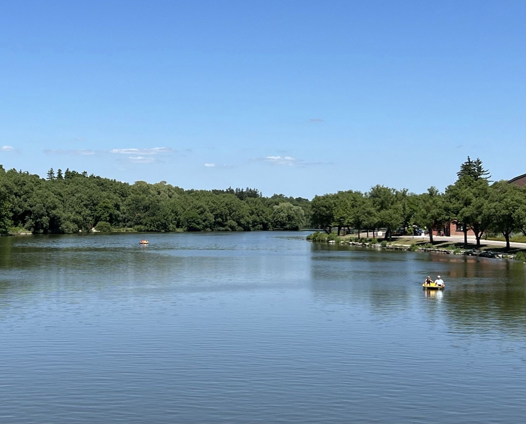
The proposed CPR route would have ran on the right side of the lake in the photo
Credits. This page was last revised on July 23, 2025. It was originally submitted on July 23, 2025, by Tim Boyd of Hamilton, Ontario. This page has been viewed 77 times since then and 16 times this year. Photos:1, 2, 3. submitted on July 23, 2025, by Tim Boyd of Hamilton, Ontario. • Andrew Ruppenstein was the editor who published this page.