Oakhill Jackson in Cedar Rapids in Linn County, Iowa — The American Midwest (Upper Plains)
Sustainable Surfacing
Photographed by Jason Voigt, June 19, 2025
1. Sustainable Surfacing Marker
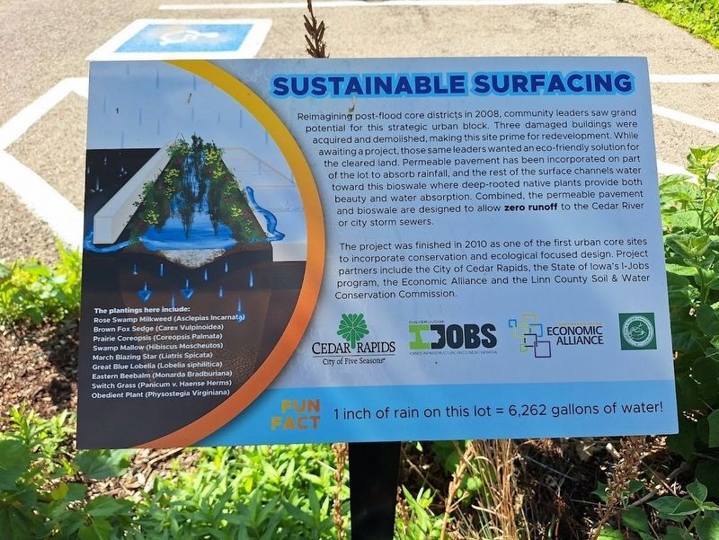
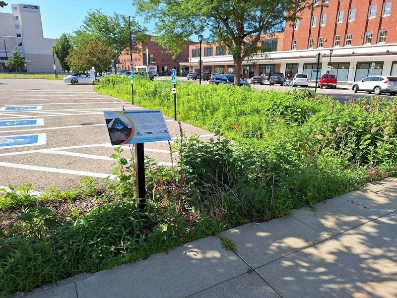
Reimagining post-flood core districts in 2008, community leaders saw grand potential for this strategic urban block. Three damaged buildings were acquired and demolished, making this site prime for redevelopment. While awaiting a project, those same leaders wanted an eco-friendly solution for the cleared land. Permeable pavement has been incorporated on part of the lot to absorb rainfall, and the rest of the surface channels water toward this bioswale where deep-rooted native plants provide both beauty and water absorption. Combined, the permeable pavement and bioswale are designed to allow zero runoff to the Cedar River or city storm sewers.
The project was finished in 2010 as one of the first urban core sites to incorporate conservation and ecological focused design. Project partners include the City of Cedar Rapids, the State of Iowa's I-Jobs program, the Economic Alliance and the Linn County Soil & Water Conservation Commission.
(aside:)
Fun Fact: 1 inch of rain on this lot = 6,262 gallons of water!
Topics. This historical marker is listed in this topic list: Environment. A significant historical year for this entry is 2008.
Location. 41° 58.582′ N,
this page online

Regionally, this marker is in Eastern Iowa. It is also in the American Midwest and in the Corn Belt. Globally, it is in North America, the Western Hemisphere, the Western World, and the Anglosphere. Historically, it finds itself in what was once the territory of the Mississippian Culture and also the Louisiana Purchase.
Other nearby markers. At least 8 other markers are within walking distance of this marker: Paramount Theater Building (within shouting distance of this marker); Vietnam Conflict (about 800 feet away, measured in a direct line); Iowa Building (approx. 0.2 miles away); War Memorial (approx. 0.2 miles away); Historical Tablet (approx. 0.2 miles away); Strand Theater (approx. 0.2 miles away); Roosevelt Hotel (approx. 0.2 miles away);
Photographed by Jason Voigt, June 19, 2025
2. Sustainable Surfacing Marker
Credits. This page was last revised on July 24, 2025. It was originally submitted on July 24, 2025, by Jason Voigt of Glen Carbon, Illinois. This page has been viewed 77 times since then and 13 times this year. Photos: 1, 2. submitted on July 24, 2025, by Jason Voigt of Glen Carbon, Illinois.
