Town Center in Columbia in Howard County, Maryland — The American Northeast (Mid-Atlantic)
The Bell Tree
2017

Photographed by Pete Skillman, July 25, 2025
1. The Bell Tree Marker
Erected 2017 by Columbia Association.
Topics and series. This historical marker is listed in these topic lists: Parks & Recreational Areas • Settlements & Settlers. In addition, it is included in the Historic Bells series list. A significant historical year for this entry is 1977.
Location. 39° 12.876′ N, 76° 51.287′ W. Marker is in Columbia, Maryland, in Howard County. It is in Town Center. It can be reached from Wincopin Circle. Touch for map. Marker is at or near this postal address: 10275 Wincopin Cir, Columbia MD 21044, United States of America. Touch for directions.

Regionally, this marker is in the Baltimore Metro Region and in Central Maryland. It is also in the American Mid-Atlantic and on the Eastern Seaboard. Globally, it is in the North Atlantic Region, North America, the Western Hemisphere, the Western World, and the Anglosphere. Historically, it finds itself in what was once one of the original Thirteen Colonies and also the Antebellum South.
Other nearby markers. At
this page online
Another marker is no longer nearby. Oakland Manor (was approx. 0.6 miles away but has been permanently removed).
Photographed by Pete Skillman, July 25, 2025
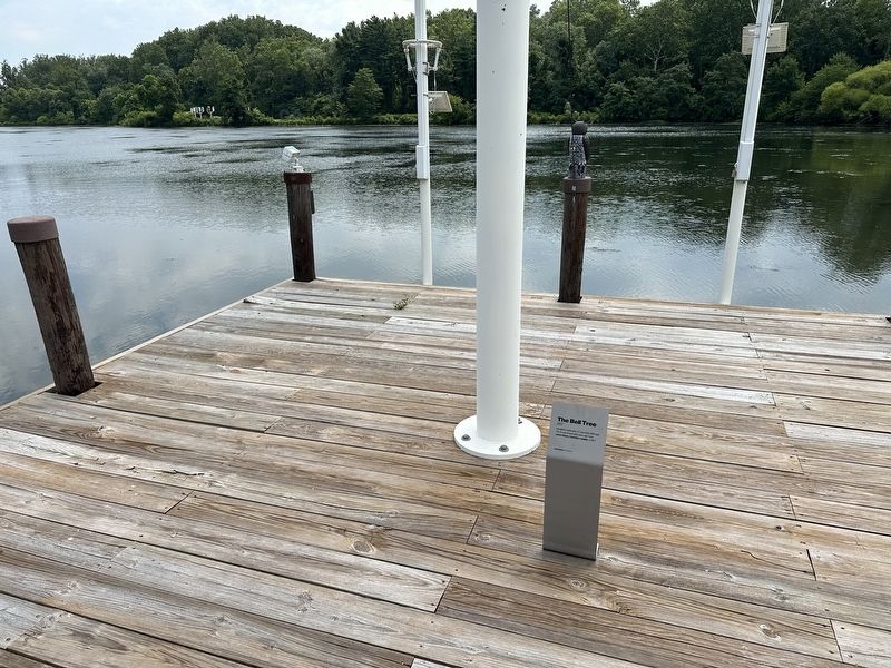
2. The Bell Tree Marker - wide view

Photographed by Pete Skillman, July 25, 2025
3. The Bell Tree Marker
Credits. This page was last revised on July 25, 2025. It was originally submitted on July 25, 2025, by Pete Skillman of Wilmington, Delaware. This page has been viewed 124 times since then and 23 times this year. Photos: 1, 2, 3. submitted on July 25, 2025, by Pete Skillman of Wilmington, Delaware.
