Town Center in Columbia in Howard County, Maryland — The American Northeast (Mid-Atlantic)
Kittamaqundi Community Church 50th Anniversary
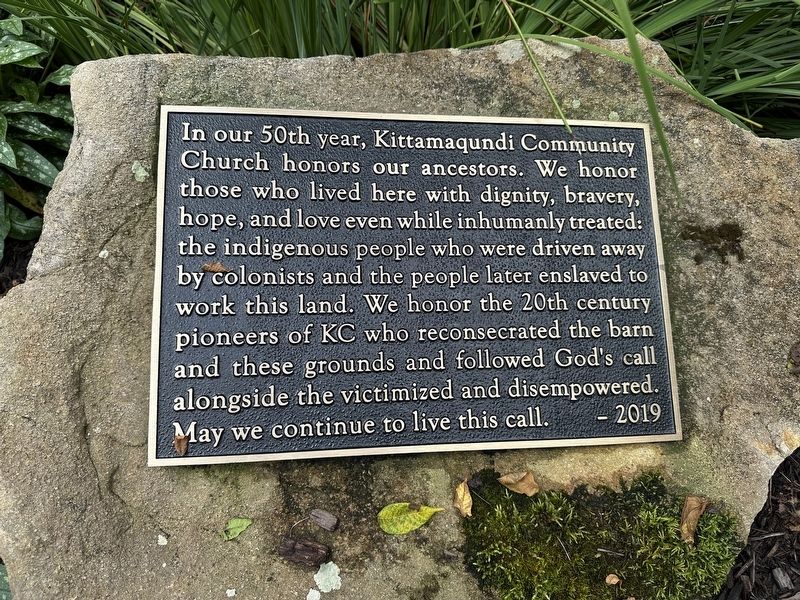
Photographed by Pete Skillman, July 25, 2025
1. Kittamaqundi Community Church 50th Anniversary Marker
Erected 2019 by Kittamaqundi Community Church.
Topics. This historical marker is listed in these topic lists: Indigenous Peoples and Communities • Religion & Religious Structures • Settlements & Settlers. A significant historical year for this entry is 1969.
Location. 39° 13.394′ N, 76° 51.222′ W. Marker is in Columbia, Maryland, in Howard County. It is in Town Center. It can be reached from Leaf Treader Way east of Vantage Point Road, on the right when traveling east. Touch for map. Marker is at or near this postal address: 5410 Leaf Treader Way, Columbia MD 21044, United States of America. Touch for directions.

Regionally, this marker is in the
this page online
Other nearby markers. At least 8 other markers are within 3 miles of this marker, measured as the crow flies: A different marker also named Oakland Manor (about 600 feet away, measured in a direct line); James W. Rouse (approx. 0.3 miles away); Wilde Lake (approx. 0.3 miles away); The First Kindergarten Class in Columbia to Graduate from High School (approx. 0.6 miles away); The Dealings (approx. 0.6 miles away); The Bell Tree (approx. 0.6 miles away); Adam the First (approx. 2.8 miles away); Christ Episcopal Church (approx. 3 miles away). Touch for a list and map of all markers in Columbia.
Another marker is no longer nearby. Oakland Manor (was within shouting distance of this marker but has been permanently removed).
Also see . . . Kittamaqundi Community Church History.
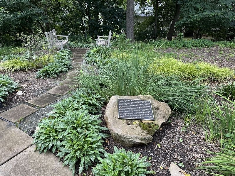
Photographed by Pete Skillman, July 25, 2025
2. Kittamaqundi Community Church 50th Anniversary Marker - wide view
After much discussion and prayer, they answered the call of God in their lives and formed a "coffee house" church in the new town of Columbia, Maryland.(Submitted on July 26, 2025, by Pete Skillman of Wilmington, Delaware.)
At first, the group met in private homes. But as word spread, more people wanted to be part of this unique worship experience. So they moved to King's Contrivance Restaurant, where on January 5, 1969, the new Kittamaqundi Community Church held its first public worship service.
Additional keywords. land acknowledgement
Credits. This page was last revised on July 27, 2025. It was originally submitted on July 26, 2025, by Pete Skillman of Wilmington, Delaware. This page has been viewed 108 times since then and 18 times this year. Photos: 1, 2. submitted on July 26, 2025, by Pete Skillman of Wilmington, Delaware. • Devry Becker Jones was the editor who published this page.
