
Burnet in Burnet County, Texas — The American South (West South Central)
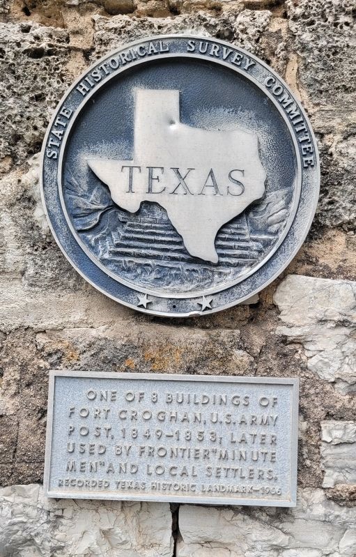
Fort Croghan Stone Building
Photographed by James Hulse, July 25, 2025
1. Fort Croghan Stone Building Marker
Erected 1966 by State Historical Survey Committee. (Marker Number 9712.)
Topics. This historical marker is listed in these topic lists: Forts and Castles • Wars, US Indian. A significant day of the year for for this entry is May 31.
Location. 30° 45.407′ N, 98° 14.271′ W. Marker is in Burnet, Texas, in Burnet County. It is at the intersection of Buchanan Drive (State Highway 29) and Fort Croghan Drive on Buchanan Drive. The marker is located on the grounds of the Fort Croghan Historical Museum complex. Touch for map. Marker is at or near this postal address: 703 W SH 29, Burnet TX 78611, United States of America. Touch for directions.

Regionally, this marker is in the Hill Country. It is also in the American South. Globally, it is in North America, a Gulf of Mexico state, the Western Hemisphere, the Western World, and the Anglosphere. Historically, it finds itself in what was once New Spain, the Republic of Texas, and one of the Confederate States of America.
Other nearby markers. At least 8 other markers are within walking distance of this marker: Stage Stop Building (here, next to this marker); Peter Kerr, 1795-1861 (here, next to this marker); Kincheloe Cabin (a few steps from this marker); Fort Croghan Memorial (within shouting distance of this marker); Logan Vandeveer (within shouting distance of this marker); The Lookout Building (about 300 feet away, measured in a direct line); Site of Fort Croghan (about 500 feet away); Rocky Rest (approx. half a mile away). Touch for a list and map of all markers in Burnet.
Regarding Fort Croghan Stone Building. Adjutant'S Office/Powder House - This stone building is one of the only
this page online
Today it represents a Post Exchange. This was a store on the post which sold items that the soldiers could use. It was run by a civilian who contracted with the Army. Married troops could buy provisions here. Some fort commanders restricted the sale of whiskey so the men would be sober while on duty.
Also see . . . History of Fort Croghan: A Military Post in Burnet County. Texas State Historical Association (TSHA)
Fort Croghan, a United States military post, was established at the site of a frontier post known(Submitted on July 27, 2025, by James Hulse of Medina, Texas.)as McCulloch's Station, on Hamilton Creek three miles south of the site of present Burnet in Burnet County. Henry E. McCulloch and his rangers were stationed there when the place was chosen for the fort on March 13, 1849, by Lt. C. H. Tyler, commander of Company A of the Second Dragoons. McCulloch was not relieved of his duty until March 18, when the site became officially a federal post. On October 12 a new location was chosen, and the fort was built across Hamilton Creek three miles above the first site. The post was known as Camp Croghan, then Camp Hamilton, and finally as Fort Croghan, in honor of Col. George Croghan. The buildings were of oak covered with shingles; officers' quarters were four log houses, each with two rooms separated by a hall. The hospital was a large four-room log house. The fort became headquarters of the Second Dragoons in 1852, but the government started removing its troops in 1853, and only a small guard remained when orders were issued to abandon the fort in 1855. The buildings were used as residences; the old hospital, long the home of W. P. Fry, was torn down in 1922. In 1940 only the foundations remainedPhotographed by James Hulse, July 25, 20252. Fort Croghan Stone Building and Markeras evidence of the military occupation.Photographed by James Hulse, July 25, 20253. The view of the Fort Croghan Stone Building and Marker (on the building)
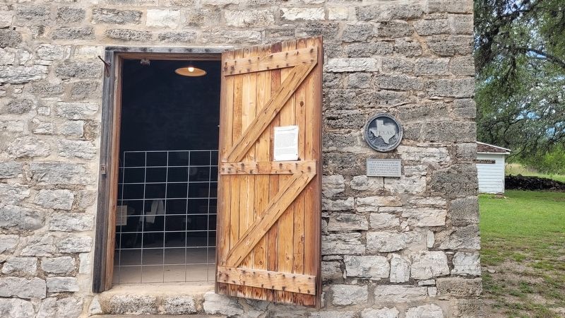
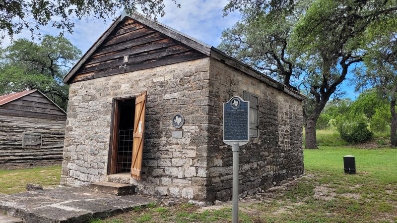

Photographed by James Hulse, July 25, 2025
4. The inside view of the Fort Croghan Stone Building

Photographed by James Hulse, July 25, 2025
5. The view of the Fort Croghan Stone Building and Marker from the museum grounds
Credits. This page was last revised on July 27, 2025. It was originally submitted on July 27, 2025, by James Hulse of Medina, Texas. This page has been viewed 161 times since then and 55 times this year. Photos: 1, 2, 3, 4, 5. submitted on July 27, 2025, by James Hulse of Medina, Texas.
