Ducktown in Polk County, Tennessee — The American South (East South Central)
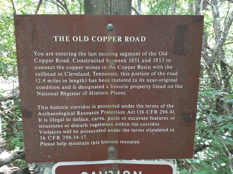
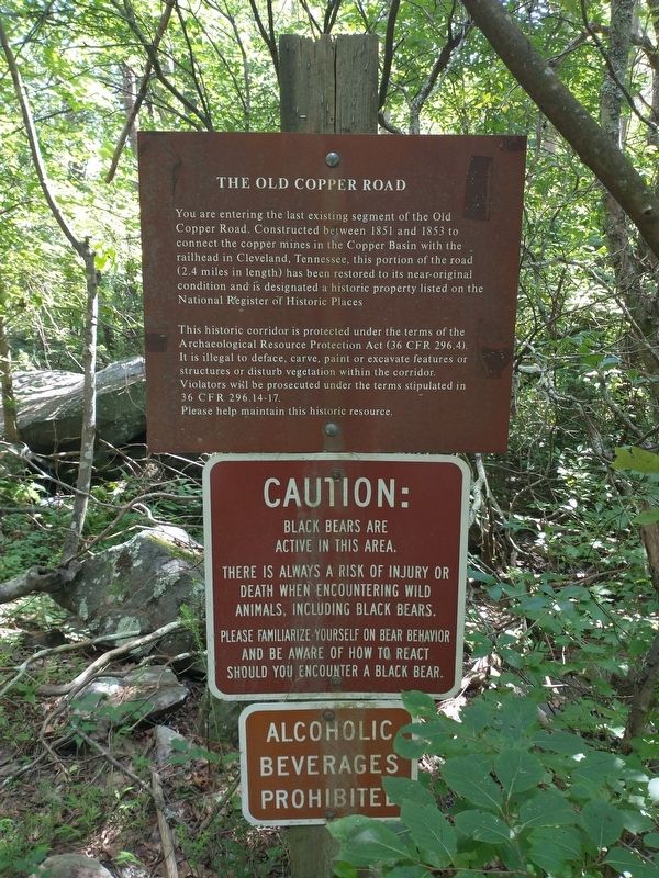
The Old Copper Road
Photographed by Tom Bosse, July 26, 2025
1. The Old Copper Road Marker
Topics. This historical marker is listed in this topic list: Roads & Vehicles. A significant historical year for this entry is 1851.
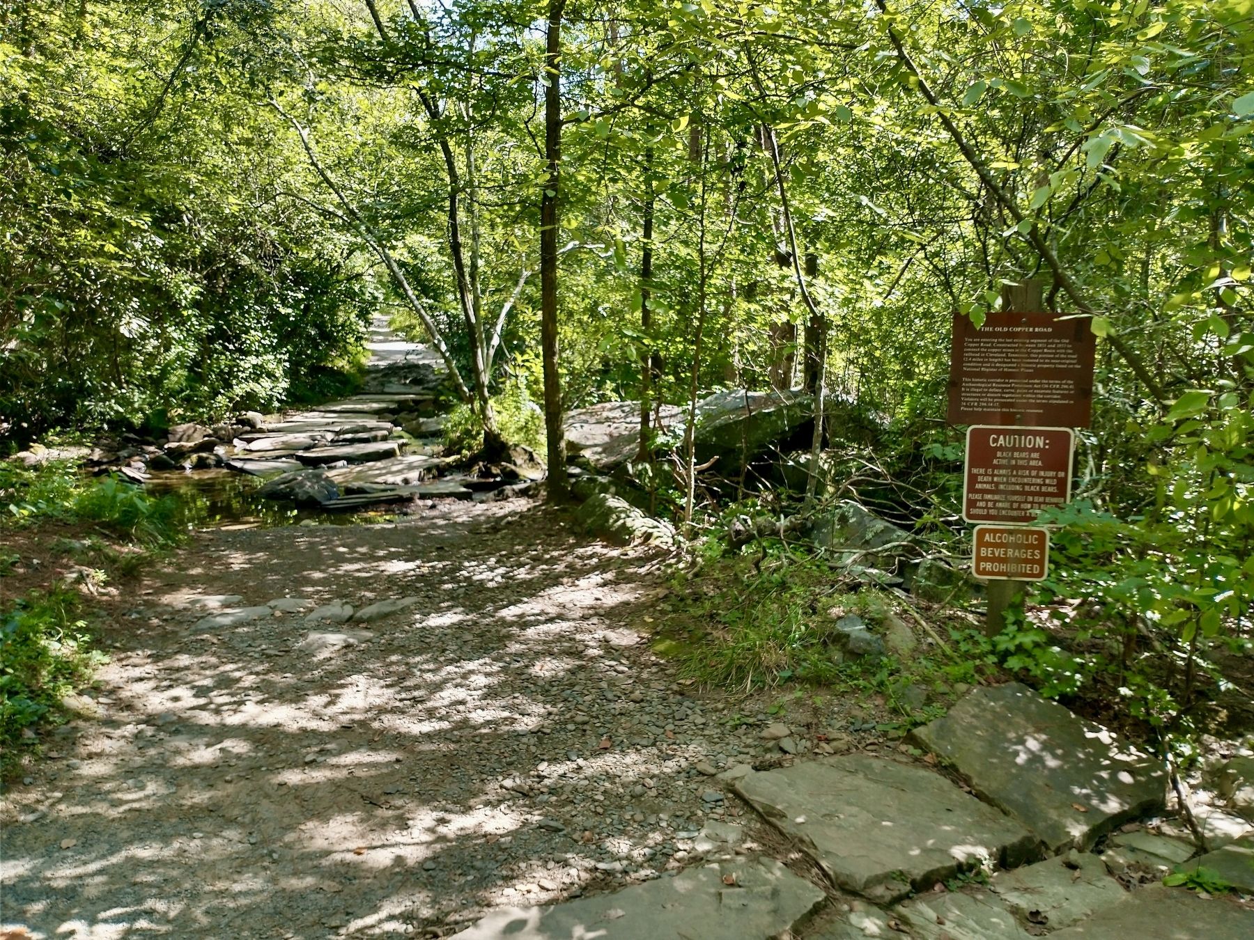
Location. 35° 3.973′ N, 84° 27.694′ W. Marker is in Ducktown, Tennessee, in Polk County. It is on U.S. 64, on the left when traveling west. Marker is located at the trailhead of the Old Copper Road Trail near the remains of the Ocoee Whitewater Center. Touch for map. Marker is in this post office area: Ducktown TN 37326,
this page online

Regionally, this marker is in East Tennessee. It is also in the American South, specifically in the Upper South, in Appalachia, and specifically in Southern Appalachia. Globally, it is in North America, the Western Hemisphere, the Western World, and the Anglosphere. Historically, it finds itself in what was once the original Cherokee Nation, the territory of the Mississippian Culture, one of the Confederate States of America, and the Antebellum South.
Other nearby markers. At least 8 other markers are within 5 miles of this marker, measured as the crow flies: Traveling the Old Copper Road (a few steps from this marker); Cherokee Heritage Trails (within shouting distance of this marker); The Heyday for Fire Towers (about 600 feet away, measured in a direct line); Tennessee Society DAR Memorial Forest (approx. 3.4 miles away); Ball Field (approx. 5.1 miles away); Clinic (approx. 5.1 miles away); Company Houses (approx. 5.1 miles away); Walkway Tunnel (approx. 5.1 miles away). Touch for a list and map of all markers in Ducktown.
Related markers. Click here for a list
Photographed by Tom Bosse, July 26, 2025
2. The Old Copper Road Marker
Photographed by Tom Bosse, July 26, 2025
3. The Old Copper Road and Marker
Credits. This page was last revised on July 29, 2025. It was originally submitted on July 27, 2025, by Tom Bosse of Jefferson City, Tennessee. This page has been viewed 114 times since then and 21 times this year. Photos: 1, 2, 3. submitted on July 27, 2025, by Tom Bosse of Jefferson City, Tennessee. • Andrew Ruppenstein was the editor who published this page.
