Near Cumby in Hopkins County, Texas — The American South (West South Central)
Sunny Point Cemetery
Photographed by James Hulse, July 28, 2025
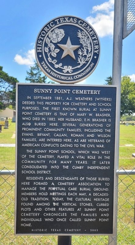
1. Sunny Point Cemetery Marker
In September 1881, A.J. Weathers (Withers) deeded this property for cemetery and school purposes. The first known burial at Sunny Point Cemetery is that of Mary W. Brasher, who died in 1882. Her husband, E.H. Brasher is also buried here. Several generations of prominent community families, including the Evans, Bryant, Callan, Roman and Wilson families, are interred here, as are veterans of American conflicts dating to the Civil War.
The Sunny Point School, which was west of the cemetery, played a vital role in the community for many years. It later consolidated into the Cumby Independent School District.
Residents and descendants of those buried here formed a cemetery association to manage the perpetual care burial ground. Members hold meetings each May, a decades-old tradition. Today, the cultural heritage found among the vertical stones, curbed plots and other features at Sunny Point Cemetery chronicles the families and individuals who once called Sunny Point home.
Erected 2003 by Texas Historical Commission. (Marker Number 13046.)
Topics. This historical marker is listed in this topic list: Cemeteries & Burial Sites. A significant historical month for this entry is September 1881.
Location. 33° 5.951′ N, 95° 51.588′ W. Marker is near Cumby, Texas, in Hopkins County. It is at the intersection of County Road 4133 and County Road 4128, on the left when traveling south on County Road 4133. The marker stands at the entrance to the cemetery. Touch for map. Marker is at or near this postal address: 825 County Road 4133, Cumby TX 75433, United States of America. Touch for directions.

Regionally, this marker is in the American South and in the Piney Woods. Globally, it is in North America, a Gulf of Mexico state, the Western Hemisphere, the Western World, and the Anglosphere.
this page online
Other nearby markers. At least 8 other markers are within 7 miles of this marker, measured as the crow flies: Long Cemetery (approx. 1.6 miles away); Cumby (approx. 2.9 miles away); Site of Plunkett School (approx. 4.7 miles away); Caney Cemetery (approx. 5.2 miles away); Miller Grove Methodist Church (approx. 6.1 miles away); Site of Henry and Emerson Colleges (approx. 6.2 miles away); Miller Grove Cemetery (approx. 6.2 miles away); Miller Grove Memorial (approx. 6.3 miles away). Touch for a list and map of all markers in Cumby.

Photographed by James Hulse, July 28, 2025
2. Sunny Point Cemetery and Marker

Photographed by James Hulse, July 28, 2025
3. The view of the Sunny Point Cemetery and Marker from the street
Credits. This page was last revised on August 10, 2026. It was originally submitted on July 29, 2025, by James Hulse of Medina, Texas. This page has been viewed 118 times since then and 30 times this year. Last updated on August 8, 2026, by Joe Lotz of Flower Mound, Texas. Photos: 1, 2, 3. submitted on July 29, 2025, by James Hulse of Medina, Texas. • Devry Becker Jones was the editor who published this page.
