Near Cumby in Hopkins County, Texas — The American South (West South Central)
Long Cemetery

Photographed by James Hulse, July 28, 2025
1. Long Cemetery Marker
In the 1850s, James M. and Mary Long settled along Turkey Creek in a small community known as Crossroads, south of Black Jack Grove. Tradition holds they set aside land c. 1860 for the burial of a girl who died when her family passed through the area. By 1865, James had rewed, to Susan Luttrell, and the grave of Mary Long may be among those that are today unmarked.
The first marked grave at Long Cemetery is that of John M. Webb (d. 1869). Other early marked graves include those of Civil War veterans and Woodmen of the World members, while several burials are indicated by small concrete markers that replaced original bois d'arc posts.
An association meets annually at the burial ground, which was enlarged in the 1970s. The site now serves as a reminder of generations of area settlers.
Erected 2005 by Texas Historical Commission. (Marker Number 13432.)
Topics. This historical marker is listed in this topic list: Cemeteries & Burial Sites. A significant historical year for this entry is 1860.
Location. 33° 5.221′ N, 95° 50.226′ W. Marker is near Cumby, Texas, in Hopkins County. It is on Highway 1126 east of County Road 4120, on the left when traveling east. The marker is located at the front of the cemetery. Touch for map. Marker is at or near this postal address: 245 Co Rd 1126, Cumby TX 75433, United States of America. Touch for directions.

Regionally, this marker is in the American South and in the Piney Woods. Globally, it is in North America, a Gulf of Mexico state, the Western
this page online
Other nearby markers. At least 8 other markers are within 7 miles of this marker, measured as the crow flies: Sunny Point Cemetery (approx. 1.6 miles away); Cumby (approx. 3½ miles away); Site of Plunkett School (approx. 4.3 miles away); Miller Grove Methodist Church (approx. 4.8 miles away); Miller Grove Cemetery (approx. 4.9 miles away); Miller Grove Memorial (approx. 4.9 miles away); Miller Grove School (approx. 4.9 miles away); Caney Cemetery (approx. 6.6 miles away). Touch for a list and map of all markers in Cumby.
Photographed by James Hulse, July 28, 2025
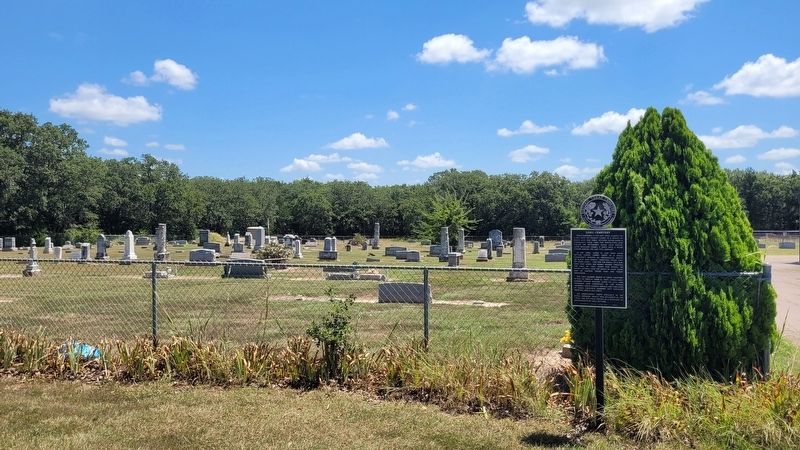
2. Long Cemetery and Marker

Photographed by James Hulse, July 28, 2025
3. The view of the Long Cemetery and Marker from the road
Credits. This page was last revised on July 29, 2025. It was originally submitted on July 29, 2025, by James Hulse of Medina, Texas. This page has been viewed 128 times since then and 30 times this year. Photos: 1, 2, 3. submitted on July 29, 2025, by James Hulse of Medina, Texas.
