Near Hayes in Stanley County, South Dakota — The American Midwest (Upper Plains)
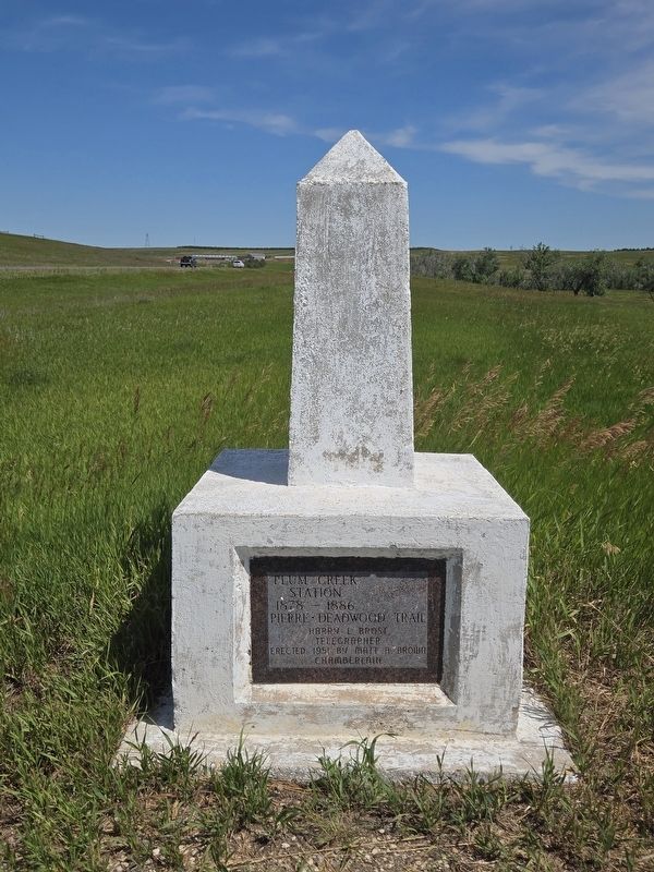
Plum Creek Station

Photographed by Mark Parker, June 29, 2025
1. Plum Creek Station Marker
Station
1878 — 1886
Pierre • Deadwood Trail
Harry L. Brost
Telegrapher
Erected 1951 by Matt A. Brown
Chamberlain
Erected 1951 by Matt A. Brown, Chamberlain.
Topics. This historical marker is listed in these topic lists: Communications • Roads & Vehicles. A significant historical year for this entry is 1878.
Location. 44° 20.454′ N, 101° 7.655′ W. Marker is near Hayes, South Dakota, in Stanley County. It is on U.S. 14 one mile south of 1.8, on the left when traveling south. The marker is at the base of an obelisk at at turnoff east of US 14. Touch for map. Marker is at or near this postal address: 24898 US Hwy 14, Hayes SD 57537, United States of America. Touch for directions.

Regionally, this marker is in East River. It is also in the American Lewis & Clark Corridor, on the prairies, and on the Northern Plains. Globally, it is in North America, the Western Hemisphere, the Western World, and the Anglosphere. Historically, it finds itself in what was once Rupert’s Land and also the Louisiana Purchase.
Other nearby markers. At least 6 other markers are within 8 miles of this marker,
this page online
Photographed by Mark Parker, June 29, 2025
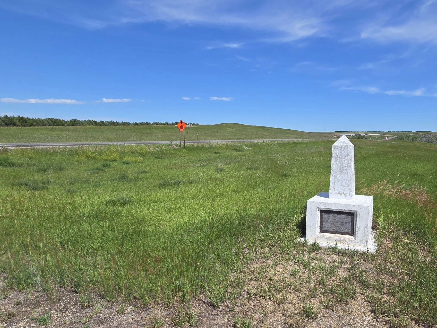
2. Full view of Plum Creek Station Marker
Photographed by Mark Parker, June 29, 2025
3. Plum Creek Station Marker looking north on US Hwy 14
Credits. This page was last revised on July 30, 2025. It was originally submitted on July 29, 2025, by Mark Parker of Hickory, North Carolina. This page has been viewed 199 times since then and 38 times this year. Photos: 1, 2, 3. submitted on July 29, 2025, by Mark Parker of Hickory, North Carolina. • Andrew Ruppenstein was the editor who published this page.
