Marker Logo
THE HISTORICAL
MARKER DATABASE
“Bite-Size Bits of Local, National, and Global History”
Miller Grove in Hopkins County, Texas — The American South (West South Central)
 

Miller Grove Cemetery
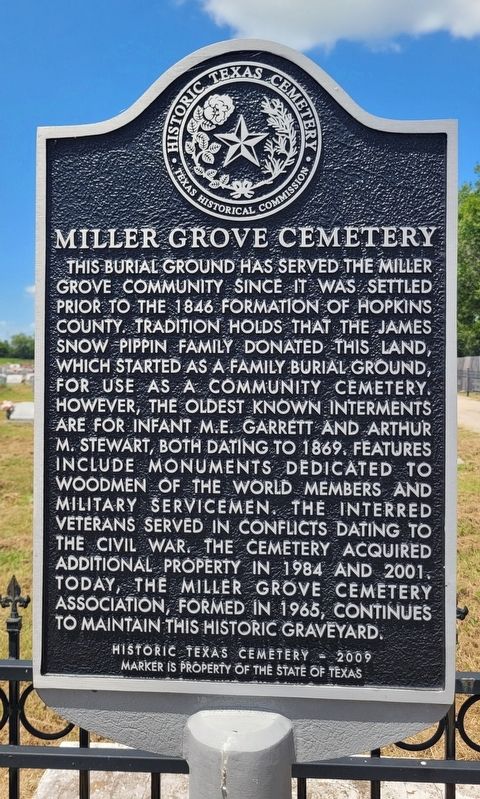
 
 
Miller Grove Cemetery Marker image. Click for full size.
Photographed by James Hulse, July 28, 2025
1. Miller Grove Cemetery Marker
Inscription. This burial ground has served the Miller Grove community since it was settled prior to the 1846 formation of Hopkins County. Tradition holds that the James Snow Pippin family donated this land, which started as a family burial ground, for use as a community cemetery. However, the oldest known interments are for infant M.E. Garrett and Arthur M. Stewart, both dating to 1869. Features include monuments dedicated to Woodmen of the World members and military servicemen. The interred veterans served in conflicts dating to the Civil War. The cemetery acquired additional property in 1984 and 2001. Today, the Miller Grove Cemetery Association, formed in 1965, continues to maintain this historic graveyard.
Historic Texas Cemetery - 2009

 
Erected 2010 by Texas Historical Commission. (Marker Number 16487.)
 
Topics. This historical marker is listed in this topic list: Cemeteries & Burial Sites. A significant historical year for this entry is 1846.
 
Location. 33° 1.383′ N, 95° 48.164′ W. Marker is in Miller Grove, Texas, in Hopkins County. It is on Farm to Market Road 275 south of County Road 1142, on the right when traveling south. The marker is located at the entrance to the cemetery. Touch for map. Marker is at or near this postal address: 7650 Farm Rd 275 S, Cumby TX 75433, United States of America. Touch for directions.

Regionally, this marker is in the American South and in the Piney Woods. Globally, it is in North America, a Gulf of Mexico state, the Western Hemisphere, the Western World, and the Anglosphere. Historically, it finds itself in what was once New Spain, the Republic of Texas, one of the Confederate States of America, and the Antebellum South.

Other nearby markers. At least 8 other markers are within 7 miles of this marker, measured as the crow flies: Miller Grove School (about 300
Paid Advertisement
Click or scan to see
this page online
feet away, measured in a direct line); Miller Grove Memorial (about 400 feet away); Miller Grove Methodist Church (about 400 feet away); County Line School (approx. 3½ miles away); Long Cemetery (approx. 4.9 miles away); Dougherty Community Homeplace (approx. 6 miles away); Dougherty Community Cemetery (approx. 6.1 miles away); Sunny Point Cemetery (approx. 6.2 miles away). Touch for a list and map of all markers in Miller Grove.
 
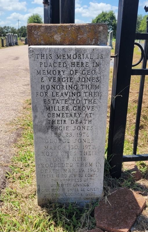
Memorial at the entrance to the cemetery image. Click for full size.
Photographed by James Hulse, July 28, 2025
2. Memorial at the entrance to the cemetery
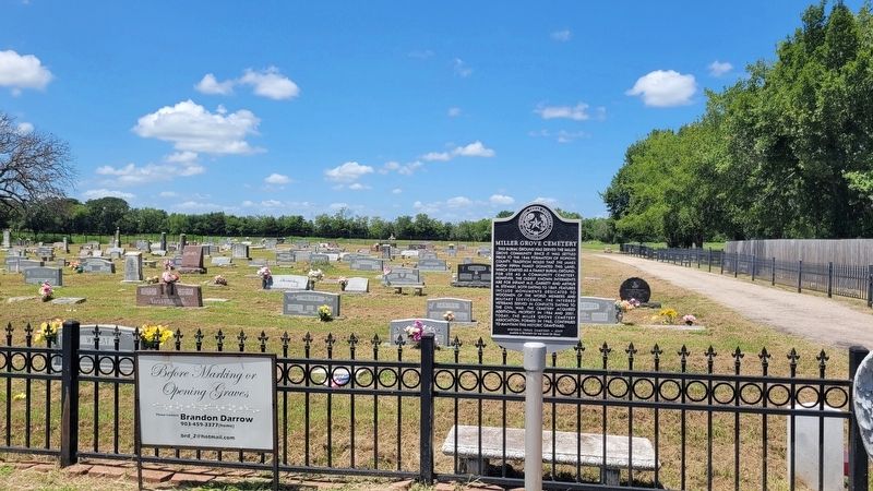
Miller Grove Cemetery and Marker image. Click for full size.
Photographed by James Hulse, July 28, 2025
3. Miller Grove Cemetery and Marker
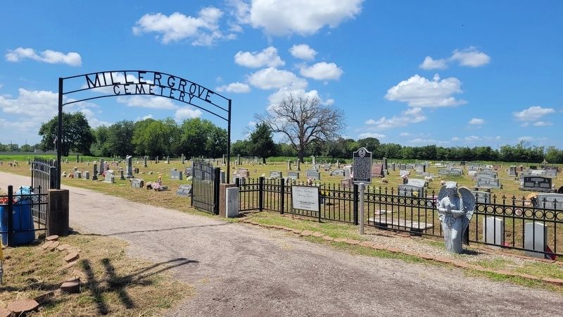
The view of the entrance to the Miller Grove Cemetery and Marker image. Click for full size.
Photographed by James Hulse, July 28, 2025
4. The view of the entrance to the Miller Grove Cemetery and Marker
 
 
Credits. This page was last revised on July 30, 2025. It was originally submitted on July 30, 2025, by James Hulse of Medina, Texas. This page has been viewed 195 times since then and 93 times this year. Photos:   1, 2, 3, 4. submitted on July 30, 2025, by James Hulse of Medina, Texas.

m=280064

CeraNet Cloud Computing sponsors the Historical Marker Database.
This website earns income from purchases you make after using our links to Amazon.com. We appreciate your support.
Paid Advertisement
Jul. 28, 2026