Near Glenwood in Catron County, New Mexico — The American Mountains (Southwest)
The Catwalk
Photographed by Bill Kirchner, September 19, 2010
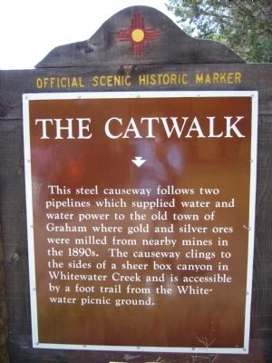
1. The Catwalk Marker
This steel causeway follows two pipelines which supplied water and water power to the old town of Graham where gold and silver ores were milled from nearby mines in the 1890's. The causeway clings to the sides of a sheer box canyon in Saltwater Creek and is accessible by a foot trail from the Whitewater picnic ground.
Erected by New Mexico Historic Preservation Division.
Topics. This historical marker is listed in this topic list: Man-Made Features.
Location. 33° 19.248′ N, 108° 52.989′ W. Marker is near Glenwood, New Mexico, in Catron County. It is at the intersection of U.S. 180 at milepost 51 and State Road 174, on the left when traveling north on U.S. 180. Touch for map. Marker is in this post office area: Glenwood NM 88039, United States of America. Touch for directions.

Regionally, this marker is in Southwest New Mexico. It is also in the American Southwest. Globally, it is in North America, the Western Hemisphere, the Western World, and the Anglosphere. Historically, it finds itself in what was once New Spain.
Other nearby markers. At least 2 other
this page online
Photographed by Bill Kirchner, September 19, 2010
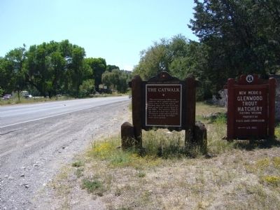
2. The Catwalk Marker
Photographed by Bill Kirchner, September 19, 2010
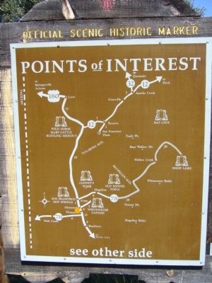
3. Rear of The Catwalk Marker
Credits. This page was last revised on August 25, 2025. It was originally submitted on September 28, 2010, by Bill Kirchner of Tucson, Arizona. This page has been viewed 1,245 times since then and 29 times this year. Last updated on July 30, 2025, by Bill Wingate of Albuquerque, New Mexico. Photos: 1, 2, 3. submitted on September 28, 2010, by Bill Kirchner of Tucson, Arizona. • J. Makali Bruton was the editor who published this page.
