Near Carlsbad in Eddy County, New Mexico — The American Mountains (Southwest)
Guadalupe Mountains
Photographed by Bill Kirchner, October 26, 2012
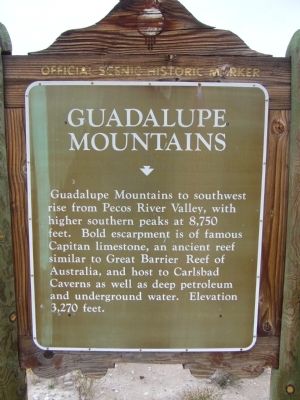
1. Guadalupe Mountains Marker
Guadalupe Mountains to southwest rise from Pecos River Valley, with higher southern peaks at 8,750 feet. Bold escarpment is of famous Capitan limestone, an ancient reef similar to Great Barrier Reef of Australia, and host to Carlsbad Caverns as well as deep petroleum and underground water. Elevation 3,270 feet.
Erected by New Mexico Historic Preservation Division.
Topics. This historical marker is listed in this topic list: Environment.
Location. 32° 4.578′ N, 104° 26.828′ W. Marker is near Carlsbad, New Mexico, in Eddy County. It is on U.S. 62 at milepost 7.5, on the right when traveling west. Touch for map. Marker is in this post office area: Carlsbad NM 88220, United States of America. Touch for directions.

Regionally, this marker is in the Pecos Valley. It is also in the American Southwest, on the Great Plains, on the Southern Plains, and specifically on the High Plains. Globally, it is in North America, the Western Hemisphere, the Western World, and the Anglosphere. Historically, it finds itself in what was once New Spain, the Comanchería, and the
this page online
Other nearby markers. At least 4 other markers are within 9 miles of this marker, measured as the crow flies: Guadalupe Escarpment Scenic Area (a few steps from this marker); Carlsbad Caverns National Park (approx. 2.6 miles away); Stephen Tyng Mather (approx. 7 miles away); a different marker also named Carlsbad Caverns National Park (approx. 8.2 miles away).
Photographed by Bill Kirchner, October 26, 2012
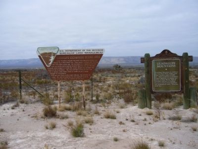
2. Guadalupe Mountains Marker (on the right)
Photographed by Bill Kirchner, October 26, 2012
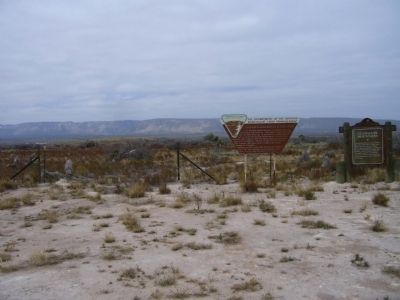
3. Guadalupe Mountains
Credits. This page was last revised on September 25, 2025. It was originally submitted on November 29, 2012, by Bill Kirchner of Tucson, Arizona. This page has been viewed 772 times since then and 32 times this year. Last updated on July 30, 2025, by Bill Wingate of Albuquerque, New Mexico. Photos: 1, 2, 3. submitted on November 29, 2012, by Bill Kirchner of Tucson, Arizona. • J. Makali Bruton was the editor who published this page.
