
Near Deming in Luna County, New Mexico — The American Mountains (Southwest)
Cooke’s Wagon Road
⎯⎯⎯
Basin and Range Country
Photographed by Bill Kirchner, November 6, 2010
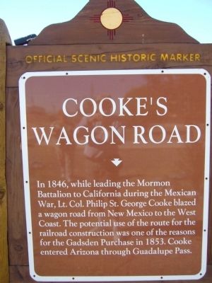
1. Cooke’s Wagon Road Marker
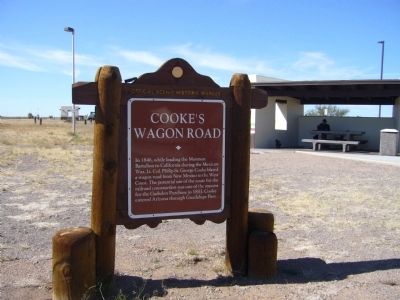
Cooke’s Wagon Road. In 1846, while leading the Mormon Battalion to California during the Mexican War, Lt. Col. Philip St. George Cooke blazed a wagon road from New Mexico to the West Coast. The potential use of the route for the railroad construction was one of the reasons for the Gadsden Purchase in 1853. Cooke entered Arizona through Guadalupe Pass.
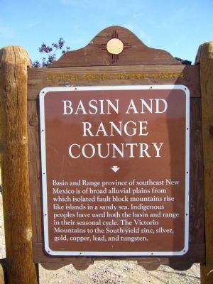
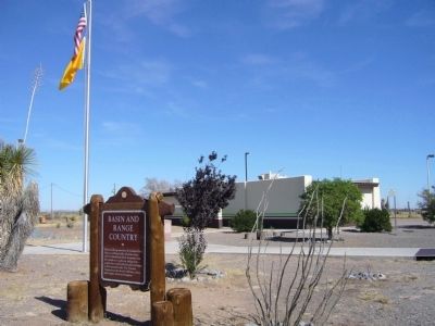
Basin and Range Country. Basin and Range province of southeast New Mexico is of broad alluvial plains from which isolated fault block mountains rise like islands in a sandy sea. Indigenous peoples have used both the basin and range in their seasonal cycle. The Victorio Mountains to the South yield zinc, silver, gold, copper, lead, and tungsten.
Erected by New Mexico Historic Preservation Division.
Topics and series. This historical marker is listed in these topic lists: Exploration • Natural Resources • Roads & Vehicles. In addition, it is included in the Mormon Battalion series list. A significant historical year for this entry is 1846.
Location. 32° 13.483′ N, 108° 7.383′ W. Marker is near Deming, New Mexico, in Luna County. It can be reached from Interstate
this page online

Regionally, this marker is in Southwest New Mexico. It is also in the American Southwest. Globally, it is in North America, the Western Hemisphere, the Western World, and the Anglosphere. Historically, it finds itself in what was once New Spain and also the Gadsden Purchase.
Other nearby markers. At least one other marker is within 8 miles of this marker, measured as the crow flies: Yucca Plains / Yucca (approx. 7½ miles away).
Photographed by Bill Kirchner
2. Basin and Range County Marker
Photographed by Bill Kirchner, November 6, 2010
3. Cooke’s Wagon Road Marker
Photographed by Bill Kirchner
4. Basin and Range County Marker
Credits. This page was last revised on October 14, 2025. It was originally submitted on November 20, 2010, by Bill Kirchner of Tucson, Arizona. This page has been viewed 4,939 times since then and 112 times this year. Last updated on July 30, 2025, by Bill Wingate of Albuquerque, New Mexico. Photos: 1, 2, 3, 4. submitted on November 20, 2010, by Bill Kirchner of Tucson, Arizona. • Devry Becker Jones was the editor who published this page.
