Grand Portland in Oklahoma City in Oklahoma County, Oklahoma — The American South (West South Central)
The Civilian Conservation Corps and Oklahoma City Will Rogers Park
1933 – 1942

Photographed by Duane and Tracy Marsteller, June 21, 2025
1. The Civilian Conservation Corps and Oklahoma City Will Rogers Park Marker
The CCC was organized by the federal government during the Great Depression to provide useful employment for thousands of citizens and to develop and save the nation's natural resources. Under management of U.S. Army personnel, they built roads and nurseries, landscaped parks, planted trees, and conserved the countryside. For their work they were paid $30 per month, of which $25 was sent home. They also received housing, food, medical and dental care as well as educational benefits.
The young men of the CCCs labored to beautify your land and pass it on to you. Preservation of natural resources will remain strong so long as the flame of freedom is fueled by productivity and not extinguished by neglect. If you and future generations will raise your voices to sing songs of praise you will be justly rewarded.
Companies 872, 875 and 895 left a permanent memorial to the service of its members in the form of the beautiful Will Rogers Park and Grounds, which serve countless millions
this page online
Erected 1987.
Topics and series. This historical marker is listed in these topic lists: Charity & Public Work • Parks & Recreational Areas. In addition, it is included in the Civilian Conservation Corps (CCC) series list. A significant historical year for this entry is 1933.
Location. 35° 30.239′ N, 97° 34.917′ W. Marker is in Oklahoma City, Oklahoma, in Oklahoma County. It is in Grand Portland. It is on Pat Murphy Drive 0.1 miles east of North Portland Avenue, on the right when traveling east. Touch for map. Marker is at or near this postal address: 3400 N Portland Ave, Oklahoma City OK 73112, United States of America. Touch for directions.

Regionally, this marker is in Central Oklahoma—Frontier Country. It is also in the American South, specifically on the prairies, and on the Southern Plains. Globally, it is in North America, the Western Hemisphere, the Western World, and the Anglosphere. Historically, it finds itself in what was once the territory of the Mississippian Culture and also the Louisiana Purchase.
Other nearby markers. At least 8 other markers are within 3 miles of this marker, measured
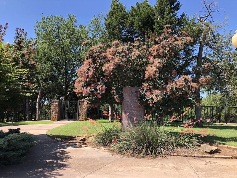
Photographed by Duane and Tracy Marsteller, June 21, 2025
2. The Civilian Conservation Corps and Oklahoma City Will Rogers Park Marker
Another marker is no longer nearby. Ann's Chicken Fry House, Oklahoma City, Oklahoma (was approx. 0.8 miles away but has been permanently removed).
Credits. This page was last revised on July 30, 2025. It was originally submitted on July 30, 2025, by Duane and Tracy Marsteller of Murfreesboro, Tennessee. This page has been viewed 138 times since then and 21 times this year. Photos: 1, 2. submitted on July 30, 2025, by Duane and Tracy Marsteller of Murfreesboro, Tennessee.
