
Brandy Station in Culpeper County, Virginia — The American South (Mid-Atlantic)
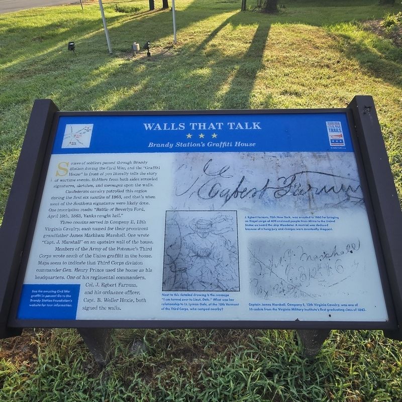
Walls That Talk
Brandy Station's Graffiti House
Photographed by Mike McKeown, August 2, 2025
1. Walls That Talk Marker
Confederate cavalry patrolled this region during the first six months of 1863, and that's when most of the Southern signatures were likely done. One inscription roads: "Battle of Beverlys Ford, April 16th, 1863, Yanks caught hell."
Three cousins served in Company E, 12th Virginia Cavalry, each named for their prominent grandfather James Markham Marshall. One wrote "Capt. J. Marshall" on an upstairs wall of the house.
Members of the Army of the Potomac's Third Corps wrote much of the Union graffiti in the house. Maps seem to indicate that Third Corps division commander Gen. Henry Prince used the house as his headquarters. One of his regimental commanders, Col. J. Egbert Farnum, and his ordnance officer, Capt. B. Weller Hoxie, both signed the walls.
See the amazing Civil War graffiti in person! Go to the Brandy Station Foundation's website for tour information.
(captions)
J. Egbert Farnum, 70th New York, was arrested in 1860 for bringing an illegal cargo of 400 enslaved people from Africa to the United States on board the ship Wanderer. A mistrial was declared because of a hung jury and charges were eventually dropped.
Next to this detailed drawing is the message "I am turned over to Lieut. Gale." What was her relationship to Lt. Lyman Gale, of the 10th Vermont of the Third Corps, who camped nearby?
Captain James Marshall, Company E, 12th Virginia Cavalry, was one of 16 cadets from the Virginia Military Institute's first graduating class of 1842.
Erected by Virginia
this page online
Topics and series. This historical marker is listed in this topic list: War, US Civil. In addition, it is included in the Virginia Civil War Trails series list. A significant historical year for this entry is 1863.
Location. 38° 30.157′ N, 77° 53.451′ W. Marker is in Brandy Station, Virginia, in Culpeper County. It is on Brandy Road near Carrico Mills Road (State Route 669), on the right when traveling west. Touch for map. Marker is at or near this postal address: 19484 Brandy Rd, Brandy Station VA 22714, United States of America. Touch for directions.

Regionally, this marker is in the Washington Metropolitan Area and in Northern Virginia. It is also in the American South, specifically in the Upper South, and in the Mid-Atlantic. Globally, it is in North America, the Western Hemisphere, the Western World, and the Anglosphere. Historically, it finds itself in what was once the territory of the Mississippian Culture, one of the original Thirteen Colonies, one of the Confederate States of America, and the Antebellum South.
Other nearby markers. At least 8 other markers are within walking distance of this
Photographed by Mike McKeown, August 2, 2025
2. Walls That Talk Marker
markers in parking lot
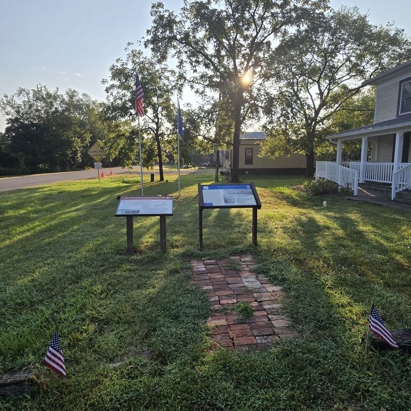
More about this marker. In front of the Graffiti House.
Also see . . . Graffiti House (Brandy Station Foundation). (Submitted on August 2, 2025, by Mike McKeown of Baltimore, Maryland.)
Photographed by Mike McKeown, August 2, 2025
3. Walls That Talk Marker
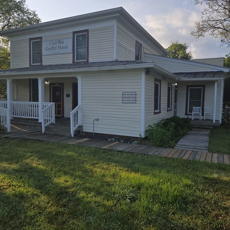
Graffiti House and Brandy Station Foundation office

Photographed by Devry Becker Jones (CC0), April 9, 2021
4. Graffiti House plaques for the Virginia Historic Landmarks and National Register of Historic Places
Credits. This page was last revised on January 11, 2026. It was originally submitted on August 2, 2025, by Mike McKeown of Baltimore, Maryland. This page has been viewed 134 times since then and 40 times this year. Photos: 1, 2, 3. submitted on August 2, 2025, by Mike McKeown of Baltimore, Maryland. 4. submitted on April 11, 2021, by Devry Becker Jones of Washington, District of Columbia. • Bernard Fisher was the editor who published this page.
