
Old Lyme in Lower Connecticut River Valley Region, Connecticut — The American Northeast (New England)
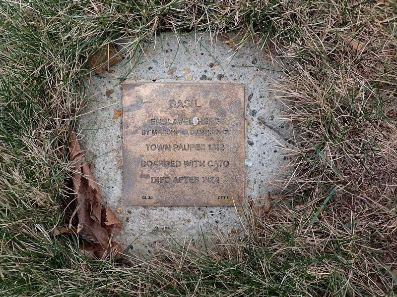
Basil
Witness Stone
Photographed by Conrad Ward, January 18, 2025
1. Basil Witness Stone
by Marshfield Parsons
Town Pauper 1812
Boarded with Cato
Died after 1824
Erected 2022 by Witness Stones Project. (Marker Number CT111.)
Topics. This historical marker is listed in these topic lists: African Americans • Civil Rights. A significant historical year for this entry is 1812.
Location. 41° 18.768′ N, 72° 19.896′ W. Marker is in Old Lyme in Lower Connecticut River Valley Region, Connecticut. It is at the intersection of Lyme Street and Ferry Road, on the right when traveling south on Lyme Street. Located in front of the First Congregational Church Old Lyme. Touch for map. Marker is at or near this postal address: 2 Ferry Road, Old Lyme CT 06371, United States of America. Touch for directions.

Regionally, this marker is on the Connecticut Shoreline, in Greater New London, in Mystic and the Eastern Shore, and in the Thames River Valley. It is also in the American Northeast, in New England, and on the Eastern Seaboard. Globally, it is in the North Atlantic Region, North America, the Western Hemisphere, the Western World, and the Anglosphere. Historically, it finds itself in
this page online
Other nearby markers. At least 8 other markers are within walking distance of this marker: Margaret Crosley Lewia (here, next to this marker); Cato (here, next to this marker); Lewis Lewia (here, next to this marker); Humphrey (a few steps from this marker); Caesar (a few steps from this marker); Votes For Women (within shouting distance of this marker); Lafayette's Tour (within shouting distance of this marker); Jack Howard (within shouting distance of this marker). Touch for a list and map of all markers in Old Lyme.
Also see . . . Basil (Witness Stones Project).
The four unnamed enslaved persons that the 1790 census counted in the household of Col. Marshfield Parsons almost certainly included Basil. A minister’s son and prominent militia officer, Parsons had turned his father’s parsonage at the foot of today’s Lyme Street into a coaching inn.(Submitted on August 3, 2025.)

Photographed by Conrad Ward, January 18, 2025
2. Basil Witness Stone
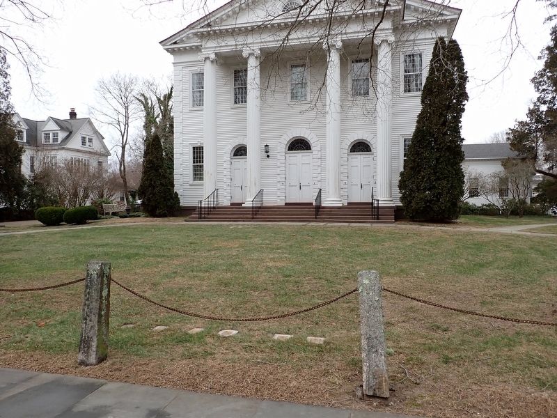
Photographed by Conrad Ward, January 18, 2025
3. Witness Stones
Credits. This page was last revised on May 19, 2026. It was originally submitted on August 3, 2025, by Conrad Ward of Guilford, Connecticut. This page has been viewed 91 times since then and 13 times this year. Photos: 1, 2, 3. submitted on August 3, 2025, by Conrad Ward of Guilford, Connecticut. • Michael Herrick was the editor who published this page.
